Browse / France / Bourgogne-Franche-Comté / Chenôve
Chenôve
Bourgogne-Franche-Comtétown

Chenôve
Total population
14,445
Demographic figures from INSEE. Overview below cites Wikipedia and may reference a different year.
City facts
Sister cities
Facts from Wikidata (CC0).
Overview
Chenôve is a commune in the Côte-d'Or department in the Bourgogne-Franche-Comté region of France.
Read more on WikipediaHistory & geography
Geography
To the west of Chenôve, above the old town, is the Plateau of Chenôve, which reaches an altitude of 387 m. It has views of the city, its surroundings, and the distant plains of the Saône and Jura. In good weather it allows views of the contours of Mont Blanc. The plateau extends over 240 hectares with a great landscape diversity – alternating valleys, forests of Austrian pines, oak, ash, shrubland, and vast flat plains peppered with groves. It has rich Mediterranean flora. In addition, there are the ancient limestone quarries in Chenôve, from which many of the monuments in Dijon were built.
Excerpted from the corresponding Wikipedia article (CC BY-SA).
Geography
Coordinates & boundaries from the US Census TIGER/Line shapefiles.
Climate
Air quality
Walkability
Amenities nearby
Wildlife & biodiversity
Earthquake history
Photos
Sights & places nearby
Notable people from here
Geography & sun
Elevation, sunrise/sunset and daylight from Open-Meteo. Solar climatology from NASA POWER.
Nearby airports
Public attention
Pageview totals from the Wikimedia Pageviews API.
Books about this place
Recent natural events nearby
Ground air-quality sensors
Recently spotted species
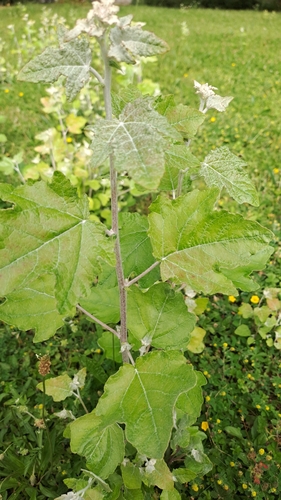
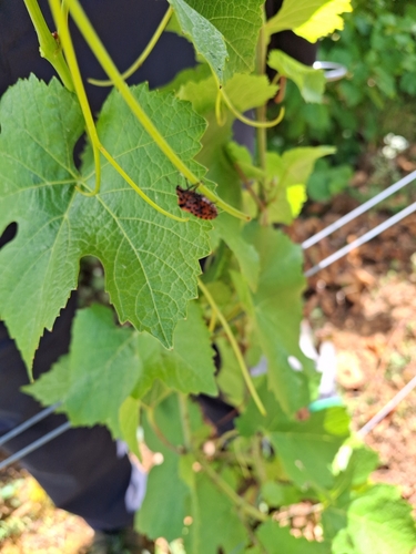
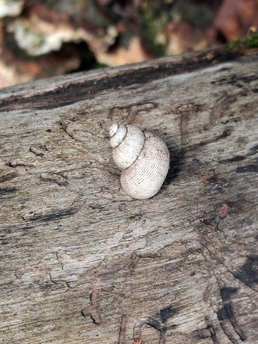
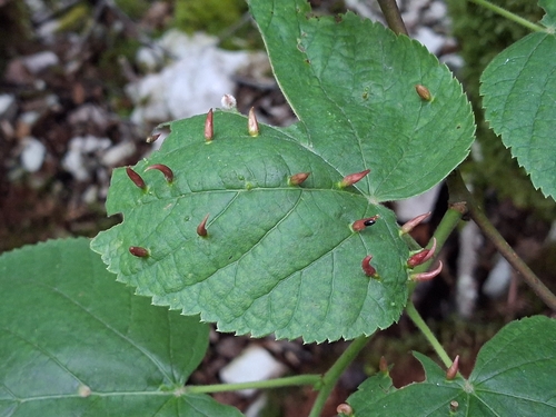
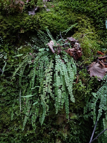
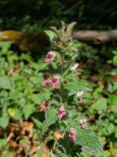
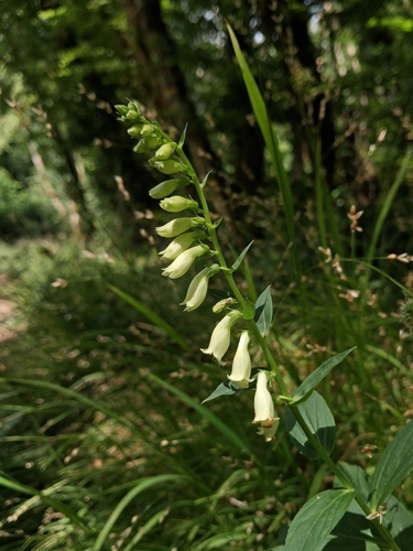
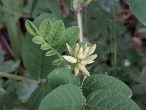
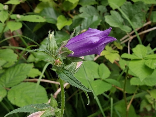
Research-grade observations from iNaturalist (within ~15 mi).
Events
Gallery
Official Identifiers
INSEE — French National Institute of Statistics
- INSEE code
- 21166
- Department
- 21
- Region
- 27
- Population (Wikidata)
- 14,244
geo.api.gouv.fr
Sources
- • Wikipedia
- • Wikidata
- • iNaturalist
- • Open-Meteo / sunrise-sunset.org
- • Wikipedia Pageviews API
- • Wikidata SPARQL (CC0) — population, area, elevation, inception, head of government, Commons image
- • INSEE — French national statistics, via geo.api.gouv.fr (official commune code, population, surface, department, region)
- • INSEE — French National Institute of Statistics — geo.api.gouv.fr