Browse / France / Île-de-France / Chilly-Mazarin
Chilly-Mazarin
Île-de-Francetown

Chilly-Mazarin
Total population
19,938
Demographic figures from INSEE. Overview below cites Wikipedia and may reference a different year.
City facts
Sister cities
Facts from Wikidata (CC0).
Overview
Chilly-Mazarin is a commune in the southern suburbs of Paris, France. It is located 16.9 km (10.5 mi) from the center of Paris.
Read more on WikipediaHistory & geography
History
Chilly-Mazarin developed around a Roman villa named Cailliacum which evolved into Chailly then Chilly. The suffix -Mazarin was added in 1822 to distinguish it from other French villages named Chilly and refers to the Mazarinettes, the famed nieces of Cardinal Mazarin who, for several years, lived at a mansion in Chilly. The fourth niece, Hortense Mancini, pass down to her son the titles of Marquess of Chilly and Duke of Mazarin which were ultimately passed to the House of Grimaldi, reigning house of Monaco. Archaeological evidence attests to a long human presence in the area. At the "La Butte aux Bergers" site in the north of the commune, rescue excavations uncovered a Late Hallstatt / Early La Tène Iron Age storage pit (around the 5th century BC) containing an unusual deposit that combined a woman's skeleton with the remains of several animals, including horses, a wildcat and hares. During the Gallo-Roman period, in the 3rd century, springs in the territory were tapped to supply Lutetia with water through an underground aqueduct that ran north toward Roman Paris. The medieval village of Chailly, attested by the 12th century, possessed a church and a mill, and its inhabitants combined viticulture with cereal cultivation. The fief, called membre de Chilly, was originally held by the Knights Templar and passed to the Knights Hospitaller after the dissolution of the Templar order, becoming a dependency of the commandery of Balizy. The lordship subsequently passed through several noble houses to the Gaillard family in the late 15th century. Souveraine d'Angoulême, half-sister of Francis I and wife of Michel II Gaillard, lord of Chilly, is buried in the church of Saint-Étienne. In 1596 the seigneury was purchased by Martin Ruzé de Beaulieu, a royal minister, who…
Geography
Chilly-Mazarin lies in the northern part of the Essonne department, within the historic Hurepoix region. The commune covers an area of on the northern slope of the Yvette valley and the southern edge of the Orly plateau. Elevations range from at the southeastern end of the commune to in the northwest. The commune is bordered by Massy to the northwest, Wissous to the north and northeast (with which it shares a portion of Orly Airport), Morangis to the east, Longjumeau to the south, and Champlan to the west. The Yvette flows along its southern edge for roughly one kilometre, joined just outside the commune by the partially underground Bief stream.
Excerpted from the corresponding Wikipedia article (CC BY-SA).
Geography
Coordinates & boundaries from the US Census TIGER/Line shapefiles.
Climate
Air quality
Walkability
Amenities nearby
Wildlife & biodiversity
Earthquake history
Photos
Sights & places nearby
Notable people from here
Nearby places in Île-de-France
- Ballainvilliers2.1 mi away · pop. 4,752
- Paray-Vieille-Poste2.4 mi away · pop. 7,868
- Massy2.5 mi away · pop. 50,962
- Morsang-sur-Orge3.2 mi away · pop. 20,785
- Fresnes3.6 mi away · pop. 28,780
- Viry-Châtillon3.6 mi away · pop. 31,045
- Villebon-sur-Yvette3.9 mi away · pop. 10,322
- Grigny4.7 mi away · pop. 27,257
- Montlhéry4.7 mi away · pop. 8,670
- Igny4.8 mi away · pop. 10,213
- Ablon-sur-Seine5.2 mi away · pop. 5,946
- Vauhallan5.3 mi away · pop. 2,066
Geography & sun
Nearby airports
Public attention
Books about this place
Recent natural events nearby
Ground air-quality sensors
Recently spotted species
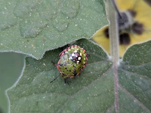
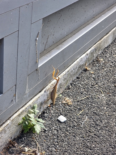
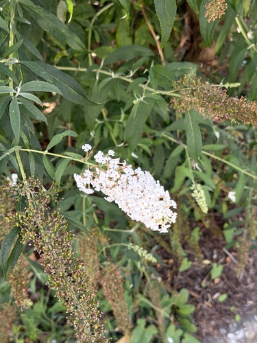
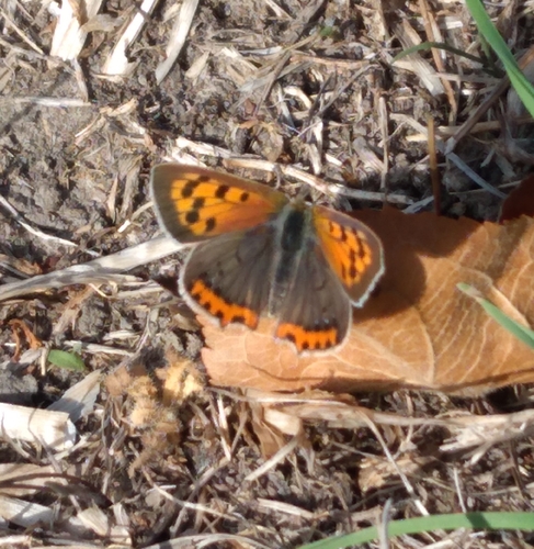
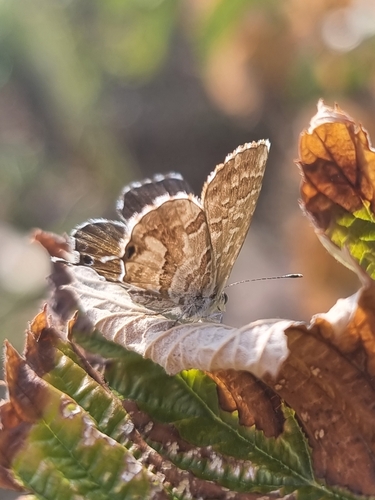
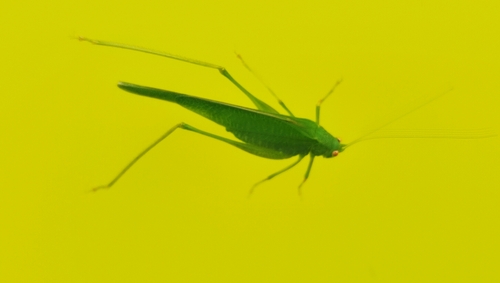
Research-grade observations from iNaturalist (within ~15 mi).
Events
Gallery
Official Identifiers
INSEE — French National Institute of Statistics
- INSEE code
- 91161
- Department
- 91
- Region
- 11
- Population (Wikidata)
- 20,443
geo.api.gouv.fr
Sources
- • Wikipedia
- • Wikidata
- • iNaturalist
- • Wikidata SPARQL (CC0) — population, area, elevation, inception, head of government, Commons image
- • INSEE — French national statistics, via geo.api.gouv.fr (official commune code, population, surface, department, region)
- • INSEE — French National Institute of Statistics — geo.api.gouv.fr