Browse / France / Auvergne-Rhône-Alpes / Clermont-Ferrand
Clermont-Ferrand
Auvergne-Rhône-Alpescity

Clermont-Ferrand
Total population
147,327
Air quality index
Demographic figures from INSEE. Overview below cites Wikipedia and may reference a different year.
City facts
Facts from Wikidata (CC0).
Overview
Clermont-Ferrand is a city and commune of France, in the Auvergne-Rhône-Alpes region, with a population of 146,351 (2023). Its metropolitan area had 510,685 inhabitants in 2023. It is the prefecture (capital) of the Puy-de-Dôme département. Julien Bony is its current mayor.
Read more on WikipediaHistory & geography
History
Clermont-Ferrand's first name was Augustonemetum, Latin for "sanctuary for Augustus", or (town of the Arverni people). It originated on the central knoll where the cathedral is situated today, overlooking the capital of . The fortified castle of Clarus Mons gave its name to the whole town in 848, to which the small episcopal town of Montferrand was attached in 1731, together taking the name of Clermont-Ferrand. The amalgamation of the two towns was decreed by Louis XIII and confirmed by Louis XV. The old part of Clermont is delimited by the route of the ramparts as they existed at the end of the Middle Ages. Clermont ranks among the oldest cities of France. The first known mention was by the Greek geographer Strabo, who called it the "metropolis of the Arverni" (meaning their oppidum civitas or tribal capital). The city was at that time called Nemessos, a Gaulish word for a sacred forest, and was situated on the mound where the cathedral of Clermont-Ferrand stands today. Somewhere in the area around Nemossos, the Arverni chieftain Vercingetorix (later to head a unified Gallic resistance to the Roman invasion led by Julius Caesar) was born around 72 BC. Nemossos was situated not far from the plateau of Gergovia, where Vercingetorix repulsed the Roman assault at the Battle of Gergovia in 52 BC. After the Roman conquest, the city became known as Augustonemetum. The city also boasts an expansive and largely uncharted network of manmade underground cavities, or souterrains, some of which were in use during Gallo-Roman times. The city became the seat of a bishop in the 5th century, at the time of the bishop Namatius, who built a cathedral here described by Gregory of Tours. Clermont went through a dark period after the disappearance of the Roman Empire and during the High…
Geography
Clermont-Ferrand has an oceanic climate (Cfb). The city is in the rain shadow of the Chaîne des Puys, giving it one of the driest climates in metropolitan France, except for a few places around the Mediterranean Sea. The mountains also block most of the oceanic influence of the Atlantic, which creates a much more continental climate than in nearby cities west or north of the mountains, like Limoges and Montluçon. Thus the city has comparatively cold winters and hot summers. From November to March, frost is very frequent, and the city, being at the bottom of a valley, is frequently subject to temperature inversion, in which the mountains are sunny and warm, and the plain is freezing cold and cloudy. Snow is quite common, although usually short-lived and light. Summer temperatures sometimes exceed , with violent thunderstorms. The highest temperature was reached in 2019 of while the lowest was . Clermont-Ferrand has two famous churches. One is Notre-Dame du Port, a Romanesque church which was built during the 11th and 12th centuries (the bell tower was rebuilt during the 19th century). It was nominated as a World Heritage Site by UNESCO in 1998. The other is Clermont-Ferrand Cathedral (Cathédrale Notre-Dame-de-l'Assomption de Clermont-Ferrand), built in Gothic style between the 13th and the 19th centuries. * Jardin Lecoq * Parc de Montjuzet * Jardin botanique de la Charme * Arboretum de Royat * Jardin botanique d'Auvergne * Galeries of Jaude * Hôtel d'Aubière * Hôtel de Ville * Gallo-Roman wall of the Vasso Galate temple
Excerpted from the corresponding Wikipedia article (CC BY-SA).
Geography
Coordinates & boundaries from the US Census TIGER/Line shapefiles.
Climate
Air quality
Current readings from Open-Meteo Air Quality API (Copernicus CAMS European reanalysis).
Walkability
Amenities nearby
Wildlife & biodiversity
Most-observed species
- Eurasian BlackbirdTurdus merula Linnaeus, 1758 · Aves2,592
- Great TitParus major Linnaeus, 1758 · Aves2,456
- Eurasian Blue TitCyanistes caeruleus (Linnaeus, 1758) · Aves1,861
- Common ChaffinchFringilla coelebs Linnaeus, 1758 · Aves1,723
- European RobinErithacus rubecula (Linnaeus, 1758) · Aves1,707
- House SparrowPasser domesticus (Linnaeus, 1758) · Aves1,652
- Eurasian Collared-DoveStreptopelia decaocto (Frivaldszky, 1838) · Aves1,236
- Common Wood-PigeonColumba palumbus Linnaeus, 1758 · Aves1,220
Citizen-science & research observations from the Global Biodiversity Information Facility (GBIF).
Earthquake history
Most recent
- M 4.2 — 2022-05-095 km SW of Villebret, France
- M 2.6 — 2008-11-164 km N of Saint-Georges-de-Mons, France
- M 2.6 — 2008-09-125 km E of Mont-Dore, France
- M 2.5 — 2008-09-129 km SSW of Saint-Sauves-d'Auvergne, France
- M 2.5 — 2008-09-117 km SW of Aydat, France
- M 3 — 2008-09-104 km E of Mont-Dore, France
Events from the USGS Earthquake Catalog (global) (FDSN Event Web Service).
Photos
Sights & places nearby
Notable people from here


People born within ~10 km, from Wikidata (CC0). Click any name for their Wikipedia article.
Nearby places in Auvergne-Rhône-Alpes
- Royat1.9 mi away · pop. 4,403
- Romagnat3.5 mi away · pop. 7,869
- Saint-Genès-Champanelle5 mi away · pop. 3,883
- La Roche-Blanche5.2 mi away · pop. 3,436
- Le Cendre6.4 mi away · pop. 5,494
- Les Martres-de-Veyre8.3 mi away · pop. 3,863
- Vic-le-Comte12.1 mi away · pop. 5,242
- Murol15.6 mi away · pop. 640
- Aigueperse17.8 mi away · pop. 2,736
- Mont-Dore19.2 mi away · pop. 1,237
- La Bourboule21 mi away · pop. 1,752
- Gannat23 mi away · pop. 5,759
Geography & sun
Elevation, sunrise/sunset and daylight from Open-Meteo. Solar climatology from NASA POWER.
Nearby airports
Public attention
Pageview totals from the Wikimedia Pageviews API.
Books about this place
Recent natural events nearby
Ground air-quality sensors
Recently spotted species
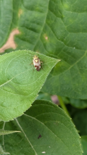
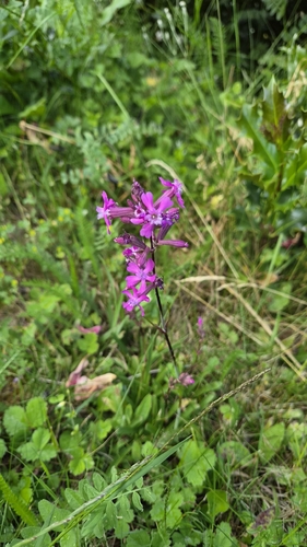
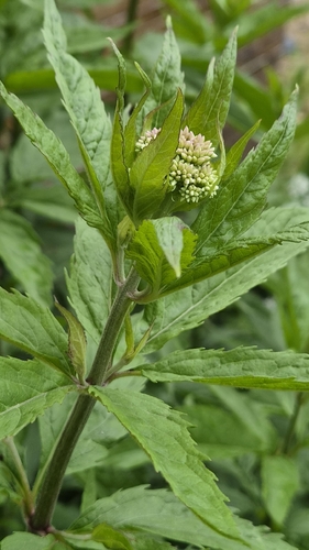
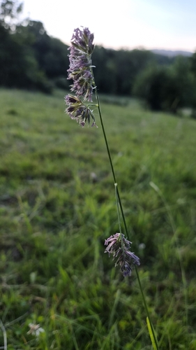
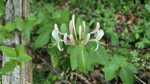
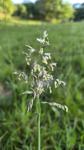
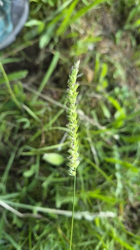
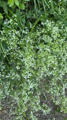
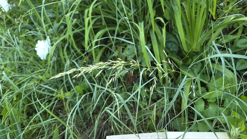
Research-grade observations from iNaturalist (within ~15 mi).
Events
Notable, recurring, and historical events associated with Clermont-Ferrand, sourced from Wikidata.
- Q137394546festival
Source: Wikidata (CC0).
Gallery
Geotagged photos within ~6 miles of Clermont-Ferrand, from Wikimedia Commons contributors.


.jpg)

_(4847201235).jpg)


_-_Depuis_la_place_de_Jaude,_sponsors_et_zone_de_d%C3%A9part_fictif_2025-07-31_10-30-41.JPG)
.JPG)
_-_Face_(girouette_ligne_C)_2024-12-14_15-46-18.JPG)
_-_Face_(girouette_ligne_B)_2024-12-14_15-46-24.JPG)
_-_Dos_(girouette_ligne_C)_2024-12-14_15-52-06.JPG)
Photos via Wikimedia Commons — see each image page for license & attribution.
Official Identifiers
INSEE — French National Institute of Statistics
- INSEE code
- 63113
- Department
- 63
- Region
- 84
- Population (Wikidata)
- 146,351
geo.api.gouv.fr
Sources
- • Wikipedia
- • Wikimedia Commons
- • Wikidata
- • Open-Meteo Air Quality (CAMS)
- • USGS Earthquake Catalog (global feed)
- • GBIF (Global Biodiversity Information Facility)
- • iNaturalist
- • Open-Meteo / sunrise-sunset.org
- • Wikipedia Pageviews API
- • Wikidata SPARQL (CC0) — population, area, elevation, inception, head of government, Commons image
- • INSEE — French national statistics, via geo.api.gouv.fr (official commune code, population, surface, department, region)
- • INSEE — French National Institute of Statistics — geo.api.gouv.fr