Browse / France / Auvergne-Rhône-Alpes / Cluses
Cluses
Auvergne-Rhône-Alpestown

Cluses
Total population
17,164
Demographic figures from INSEE. Overview below cites Wikipedia and may reference a different year.
City facts
Sister cities
Facts from Wikidata (CC0).
Overview
Cluses is a commune in the Haute-Savoie department in the Auvergne-Rhône-Alpes region in southeastern France.
Read more on WikipediaHistory & geography
History
During the Roman era, a bridge, was built across the Arve River. Travelers crossing the bridge soon stimulated trade in the area, and the first village was born at the center of the "cluse" (a narrow valley), situated between the mountains and the Arve River. Cluses became an independent commune on 4 May 1310. The Baron Hughes of Faucigny had an important role in the town's evolution as an independent commune. In 1720, Claude-Joseph Balladoud introduced clockmaking in the Arve Valley, previously a farming community. Soon, family-owned workrooms and cottage industries emerged, supplying the main clock-making centres of Geneva. In 1848, the "École Royale d'Horlogerie" (Royal school of clockmaking) was created, and precision clock manufacturing in the Arve Valley soon became a mainstay of the town. On 20 June 1844 all of the town's wooden chalet-style buildings were destroyed in a fire. The town was rebuilt with new architecture in the style of Turin, Italy (which was the capital of Sardinia-Savoy at the time). This style is still represented in Cluses today, making the city particularly noteworthy in the region Haute-Savoie.
Geography
The town is located in the Arve Valley, in the region Faucigny. Situated between Geneva and Chamonix, Cluses is located near a number of popular ski slopes.
Excerpted from the corresponding Wikipedia article (CC BY-SA).
Geography
Coordinates & boundaries from the US Census TIGER/Line shapefiles.
Climate
Air quality
Walkability
Amenities nearby
Wildlife & biodiversity
Most-observed species
- Common ChaffinchFringilla coelebs Linnaeus, 1758 · Aves1,232
- Black RedstartPhoenicurus ochruros (S.G.Gmelin, 1774) · Aves973
- Eurasian BlackbirdTurdus merula Linnaeus, 1758 · Aves972
- Great TitParus major Linnaeus, 1758 · Aves968
- Eurasian Blue TitCyanistes caeruleus (Linnaeus, 1758) · Aves935
- Yellow-billed ChoughPyrrhocorax graculus (Linnaeus, 1766) · Aves897
- Carrion CrowCorvus corone Linnaeus, 1758 · Aves817
- European RobinErithacus rubecula (Linnaeus, 1758) · Aves792
Citizen-science & research observations from the Global Biodiversity Information Facility (GBIF).
Earthquake history
Most recent
- M 3.6 — 2026-01-124 km SSW of Les Houches, France
- M 3.3 — 2025-05-068 km W of Chapareillan, France
- M 3.2 — 2024-05-099 km SW of Evolène, Switzerland
- M 3.3 — 2022-09-257 km ESE of Ar?ches-la-Frasse, France
- M 2.7 — 2022-08-234 km S of Turtmann, Switzerland
- M 4.5 — 2022-03-123 km S of Faverges, France
Events from the USGS Earthquake Catalog (global) (FDSN Event Web Service).
Photos
Sights & places nearby
Notable people from here


People born within ~10 km, from Wikidata (CC0). Click any name for their Wikipedia article.
Nearby places in Auvergne-Rhône-Alpes
- Marnaz2.6 mi away · pop. 5,827
- Magland3.4 mi away · pop. 3,251
- Morzine10.3 mi away · pop. 2,660
- Thorens-Glières16.5 mi away · pop. 9,547
- Vétraz-Monthoux17.3 mi away · pop. 9,874
- Saint-Cergues17.3 mi away · pop. 3,714
- Thônes17.4 mi away
- Allinges19.9 mi away · pop. 4,853
- Publier22.6 mi away · pop. 7,646
- Ugine22.8 mi away · pop. 7,148
- Évian-les-Bains23.5 mi away · pop. 9,214
- Saint-Jorioz25.4 mi away · pop. 6,287
Geography & sun
Elevation, sunrise/sunset and daylight from Open-Meteo. Solar climatology from NASA POWER.
Nearby airports
Public attention
Pageview totals from the Wikimedia Pageviews API.
Books about this place
Recent natural events nearby
Ground air-quality sensors
Recently spotted species
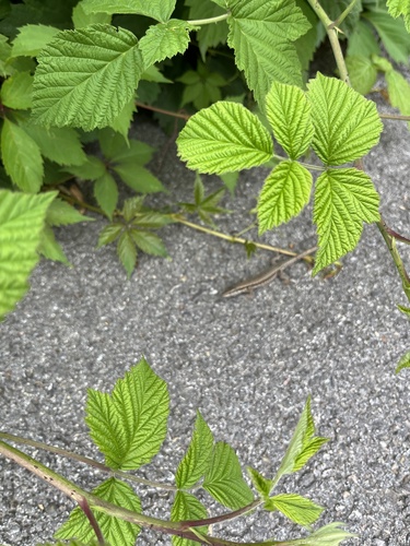
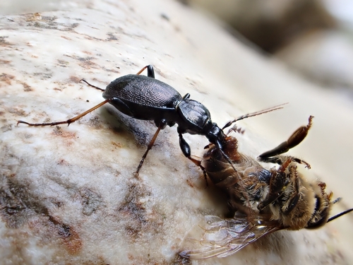
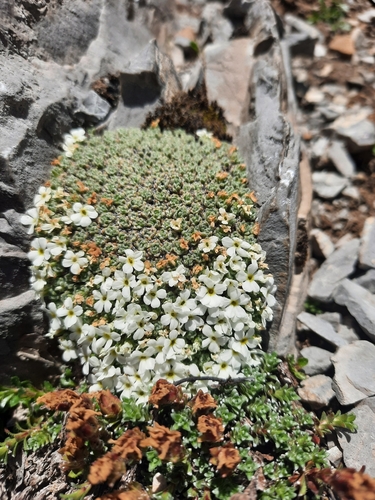
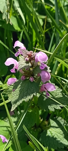
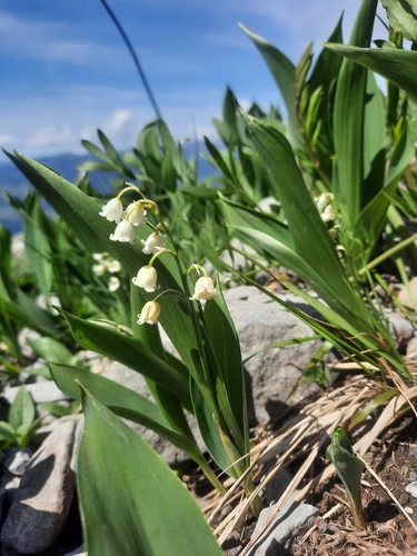
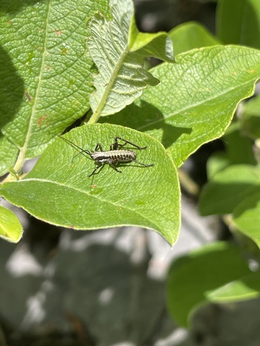
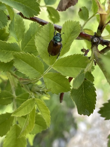
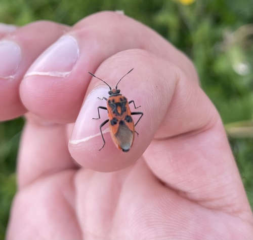
Research-grade observations from iNaturalist (within ~15 mi).
Events
Gallery
Geotagged photos within ~6 miles of Cluses, from Wikimedia Commons contributors.
.jpg)
.jpg)
.JPG)
.jpg)
.jpg)
.jpg)
.jpg)
.jpg)
.jpg)
.jpg)
.jpg)
.jpg)
.jpg)
.jpg)
.jpg)
.jpg)
.jpg)
.jpg)
.jpg)
.jpg)
.jpg)
.jpg)
.jpg)
.jpg)
Photos via Wikimedia Commons — see each image page for license & attribution.
Official Identifiers
INSEE — French National Institute of Statistics
- INSEE code
- 74081
- Department
- 74
- Region
- 84
- Population (Wikidata)
- 17,795
geo.api.gouv.fr
Sources
- • Wikipedia
- • Wikimedia Commons
- • Wikidata
- • USGS Earthquake Catalog (global feed)
- • GBIF (Global Biodiversity Information Facility)
- • iNaturalist
- • Open-Meteo / sunrise-sunset.org
- • Wikipedia Pageviews API
- • Wikidata SPARQL (CC0) — population, area, elevation, inception, head of government, Commons image
- • INSEE — French national statistics, via geo.api.gouv.fr (official commune code, population, surface, department, region)
- • INSEE — French National Institute of Statistics — geo.api.gouv.fr