Browse / France / Grand Est / Colmar
Colmar
Grand Esttown

Colmar
Total population
67,730
Founded
1226
Demographic figures from INSEE. Overview below cites Wikipedia and may reference a different year.
City facts
Facts from Wikidata (CC0).
Overview
Colmar is a city and commune in the Haut-Rhin department and Alsace region of north-eastern France. The third-largest commune in Alsace, it is the seat of the prefecture of the Haut-Rhin department and of the subprefecture of the Colmar-Ribeauvillé arrondissement.
Read more on WikipediaHistory & geography
History
Colmar was first mentioned by Charlemagne in his chronicle about Saxon wars. This was the location where the Carolingian Emperor Charles the Fat held a diet in 884. Colmar was granted the status of a free imperial city by Emperor Frederick II in 1226. The city adopted the Protestant Reformation in 1575, long after the northern neighbours of Strasbourg and Sélestat. During the Thirty Years' War, it was taken by the Swedish army in 1632, which held it for two years. In 1634, the Schoeman family arrived and started the first town library. In 1635, the city's harvest was spoiled by Imperialist forces while the residents shot at them from the walls. The city was conquered by France under King Louis XIV in 1673 and officially ceded by the 1679 Treaties of Nijmegen. In 1854 a cholera epidemic killed many in the city. It returned to France after World War I according to the 1919 Treaty of Versailles, was annexed by Nazi Germany in 1940, and then reverted to French control after the battle of the "Colmar Pocket" in 1945. Colmar has been continuously governed by conservative parties since 1947, the Popular Republican Movement (1947–1977), the Union for French Democracy (1977–1995) and the Union for a Popular Movement (since 1995), and has had only three mayors during that time. The Colmar Treasure, a hoard of precious objects hidden by Jews during the Black Death, was discovered here in 1863.
Geography
Colmar is south-southwest of Strasbourg, at 48.08°N, 7.36°E, on the River Lauch, a tributary of the Ill. It is located immediately to the east of the Vosges and connected to the Rhine in the east by a canal. In 2022 the commune of Colmar had a population of 67,360, and the metropolitan area of Colmar had a population of 199,627. Colmar is the centre of the arrondissement of Colmar-Ribeauvillé.
Excerpted from the corresponding Wikipedia article (CC BY-SA).
Geography
Coordinates & boundaries from the US Census TIGER/Line shapefiles.
Climate
Air quality
Walkability
Amenities nearby
Wildlife & biodiversity
Earthquake history
Photos
Sights & places nearby
Notable people from here


People born within ~10 km, from Wikidata (CC0). Click any name for their Wikipedia article.
Nearby places in Grand Est
- Katzenthal4 mi away · pop. 527
- Herrlisheim-près-Colmar4.3 mi away · pop. 1,878
- Obermorschwihr5 mi away · pop. 392
- Sainte-Croix-en-Plaine5 mi away · pop. 3,022
- Appenwihr5.2 mi away · pop. 583
- Hattstatt5.3 mi away · pop. 834
- Ostheim5.7 mi away · pop. 1,658
- Urschenheim6 mi away · pop. 784
- Gueberschwihr6.3 mi away · pop. 843
- Niederhergheim6.7 mi away · pop. 1,157
- Hunawihr7.4 mi away · pop. 568
- Guémar7.9 mi away · pop. 1,438
Geography & sun
Elevation, sunrise/sunset and daylight from Open-Meteo. Solar climatology from NASA POWER.
Nearby airports
Public attention
Pageview totals from the Wikimedia Pageviews API.
Books about Colmar
Search results from Open Library.
Recent natural events nearby
Ground air-quality sensors
Recently spotted species
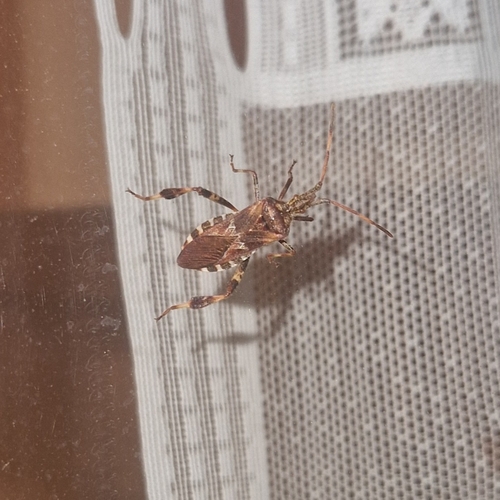
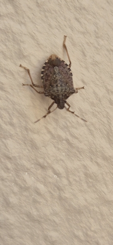
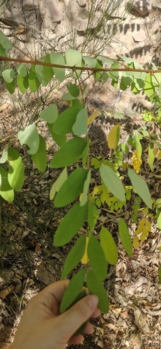
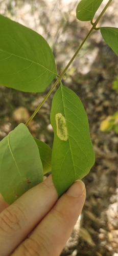
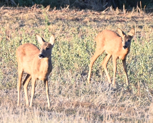
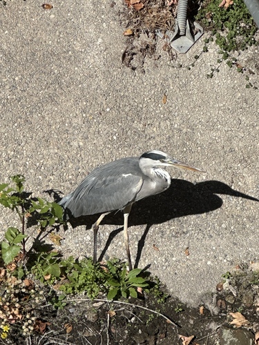
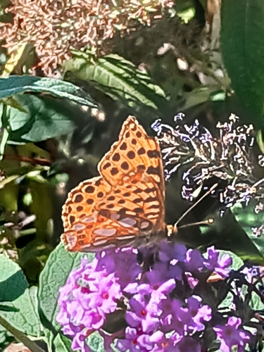

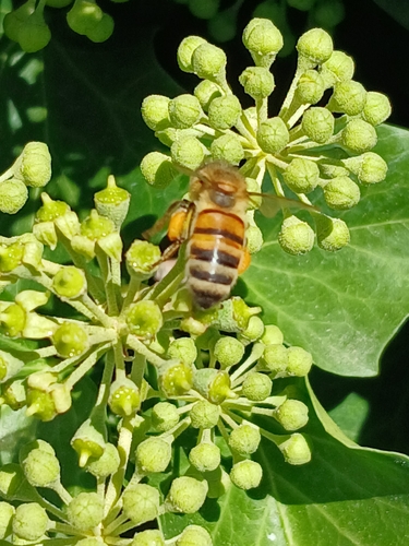
Research-grade observations from iNaturalist (within ~15 mi).
Events
Gallery
Official Identifiers
INSEE — French National Institute of Statistics
- INSEE code
- 68066
- Department
- 68
- Region
- 44
- Population (Wikidata)
- 66,970
geo.api.gouv.fr
Sources
- • Wikipedia
- • Wikidata
- • iNaturalist
- • Open-Meteo / sunrise-sunset.org
- • Wikipedia Pageviews API
- • Open Library
- • Wikidata SPARQL (CC0) — population, area, elevation, inception, head of government, Commons image
- • INSEE — French national statistics, via geo.api.gouv.fr (official commune code, population, surface, department, region)
- • INSEE — French National Institute of Statistics — geo.api.gouv.fr