Browse / France / Centre-Val de Loire / Cormery
Cormery
Centre-Val de Loirevillage

Cormery
Total population
1,818
Demographic figures from INSEE. Overview below cites Wikipedia and may reference a different year.
City facts
Facts from Wikidata (CC0).
Overview
Cormery is a commune in the Indre-et-Loire department, Centre-Val de Loire. Its inhabitants are called Cormeriens, Cormeriennes.
Read more on WikipediaHistory & geography
History
In 791, a religious institution was founded by Ithier of St. Martin, abbot of Basilica of St. Martin in Tours and prochancelier of Charlemagne. This edifice was to create a more friendly place for meditation and prayer, plus respect for the rule of Saint Benedict of Nursia. Ithier come here to retreat from the world and its agitations. The modest priory was first called Celle Saint-Paul. Alcuin who succeeded Ithier Cormery led a tremendous spiritual growth and materially transformed the priory into an important abbey by donating important areas. This allowed his successor, Fridugisus, to perform great works. A protective shadow of the abbey caused many residents to gather and a town was formed which became an important commercial center: since 845 a market is held every Thursday. During the raids of the Vikings up the Loire river, the monks of Saint-Martin first put the holy relics in their safe in Cormery before forced to flee to the east. The abbey was in ruins in the early eleventh century and was rededicated in 1054. In 1268 to 1271, the abbot was Jean de Brosse, parent of Pierre de Brosse, and close to Philip II of France according to Le Hardi. In 1562, Cormery was sacked by Huguenots during the Huguenot rebellions. In 1662, the congregation of St Maur recreated a monastic community that would last until the French Revolution when the monastery was resolved. Only impressive remains are left of the abbey which is objects of study by historians of the region and a cookie recipe "macaroons Abbey". {| class="wikitable sortable" |+ List of mayors ! Start || End || Name |- | March 1971 || March 1989 || Jacques Dupuy |- | March 1989 || June 1995 || Bernard Boutet |- | June 1995 || March 2001 || Pierre Gargaud |- | March 2001 || March 2008 || Jean-Marie Doublé |- |…
Geography
Cormery is located 21 kilometres from Tours and 18 kilometres from Joué-lès-Tours. The area of the town is watered by the Indre river.
Excerpted from the corresponding Wikipedia article (CC BY-SA).
Geography
Coordinates & boundaries from the US Census TIGER/Line shapefiles.
Climate
Air quality
Walkability
Amenities nearby
Wildlife & biodiversity
Earthquake history
Photos
Sights & places nearby
Notable people from here
Nearby places in Centre-Val de Loire
- Courçay2.2 mi away · pop. 792
- Esvres2.6 mi away · pop. 6,208
- Saint-Branchs4.2 mi away · pop. 2,625
- Azay-sur-Cher5.6 mi away · pop. 3,080
- Montbazon5.9 mi away · pop. 4,717
- Le Louroux7.8 mi away · pop. 529
- Manthelan9.3 mi away · pop. 1,367
- Chanceaux-près-Loches9.7 mi away · pop. 115
- Luzillé10.6 mi away · pop. 961
- Noizay11 mi away · pop. 1,125
- Chenonceaux11.8 mi away · pop. 340
- Bossée12 mi away · pop. 325
Geography & sun
Elevation, sunrise/sunset and daylight from Open-Meteo. Solar climatology from NASA POWER.
Nearby airports
Public attention
Pageview totals from the Wikimedia Pageviews API.
Books about this place
Recent natural events nearby
Ground air-quality sensors
Recently spotted species
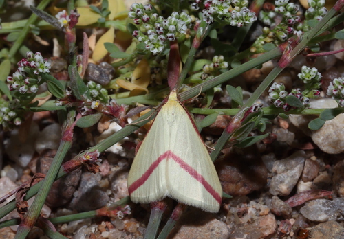
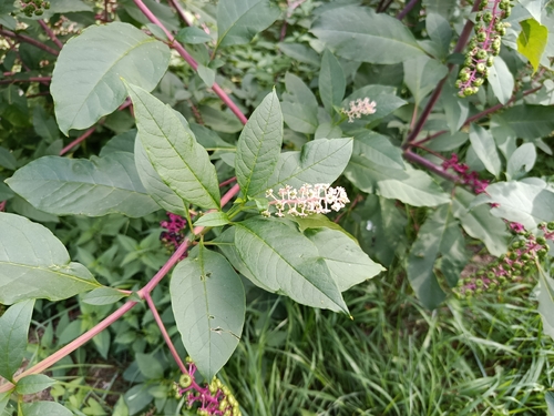
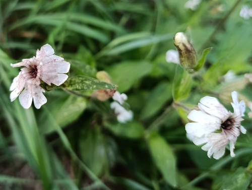
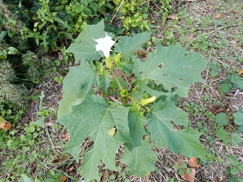
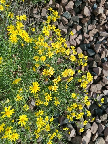
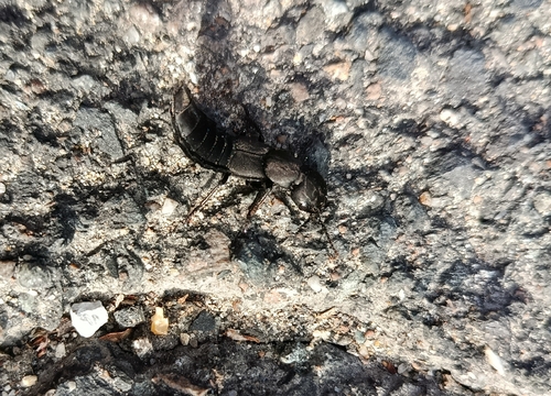
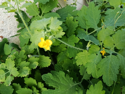
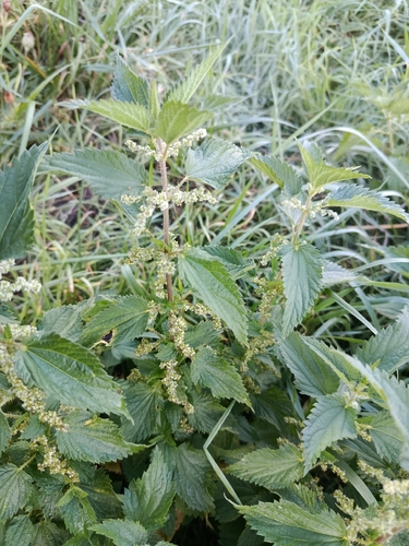
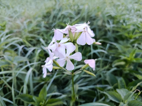
Research-grade observations from iNaturalist (within ~15 mi).
Events
Gallery
Official Identifiers
INSEE — French National Institute of Statistics
- INSEE code
- 37083
- Department
- 37
- Region
- 24
- Population (Wikidata)
- 1,905
geo.api.gouv.fr
Sources
- • Wikipedia
- • Wikidata
- • iNaturalist
- • Open-Meteo / sunrise-sunset.org
- • Wikipedia Pageviews API
- • INSEE — French national statistics, via geo.api.gouv.fr (official commune code, population, surface, department, region)
- • INSEE — French National Institute of Statistics — geo.api.gouv.fr