Browse / France / Pays de la Loire / Couëron
Couëron
Pays de la Loiretown

Couëron
Total population
23,541
Demographic figures from INSEE. Overview below cites Wikipedia and may reference a different year.
City facts
Facts from Wikidata (CC0).
Overview
Couëron is a commune in the Loire-Atlantique department in western France. It is part of the historic French Brittany.
Read more on WikipediaHistory & geography
History
Couëron has been suggested as a potential site for Greek trading city of Corbilo, mentioned by Pytheas, Polybius and Strabo. The Hôtel de Ville was completed in 1889.
Geography
Couëron is located 10 miles (16 km) west of Nantes, on the North bank of the French longest river, the Loire. The town is bordered by the towns of Sautron and Vigneux-de-Bretagne to the north; Saint-Étienne-de-Montluc to the west; Indre to the east; Le Pellerin and Saint-Jean-de-Boiseau to the south. It is one of the 19 towns of the agglomeration of Nantes, therefore it is part of the Nantes Métropole (8th most populous across France) and the "espace urbain" of Nantes-Saint-Nazaire. For many years the city was the location of the Usine Pontgibaud-Tréfimétaux, which manufactured non-ferrous metal products. Couëron's public transportation is provided by the TAN. There are four bus lines: * line 91 * line 71 * night line J * line Express' Couëron Ocean - Gare maritime The city is also accessed by a railway station (only regional journey) and a ferry which crosses the Loire so as to join the Pellerin. The city is divided into two distinct sectors: * Couëron downtown * La Chabossière, a more recent borough that is nearer to Nantes.
Excerpted from the corresponding Wikipedia article (CC BY-SA).
Geography
Coordinates & boundaries from the US Census TIGER/Line shapefiles.
Climate
Air quality
Walkability
Amenities nearby
Wildlife & biodiversity
Earthquake history
Photos
Sights & places nearby
Notable people from here


People born within ~10 km, from Wikidata (CC0). Click any name for their Wikipedia article.
Nearby places in Pays de la Loire
- Bouaye5 mi away · pop. 8,144
- Vigneux-de-Bretagne8 mi away · pop. 6,480
- Passay9.1 mi away
- Les Sorinières10.2 mi away · pop. 9,031
- La Sicaudais10.5 mi away
- Grandchamp-des-Fontaines12 mi away · pop. 6,759
- Malville12.1 mi away · pop. 3,627
- Saint-Philbert-de-Grand-Lieu12.8 mi away · pop. 9,400
- Chauvé12.8 mi away · pop. 3,000
- Sucé-sur-Erdre12.9 mi away · pop. 7,366
- Saint-Viaud14 mi away · pop. 2,764
- Fay-de-Bretagne14.3 mi away · pop. 3,750
Geography & sun
Elevation, sunrise/sunset and daylight from Open-Meteo. Solar climatology from NASA POWER.
Nearby airports
Public attention
Pageview totals from the Wikimedia Pageviews API.
Books about Couëron
Search results from Open Library.
Recent natural events nearby
Ground air-quality sensors
Recently spotted species
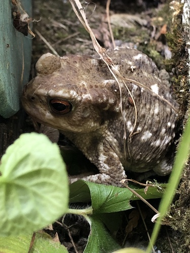
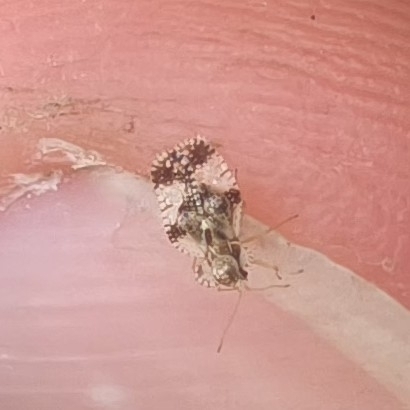
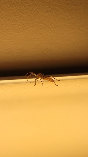
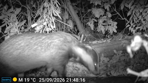
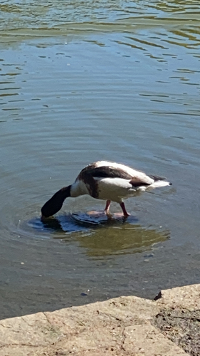
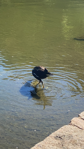
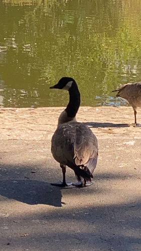
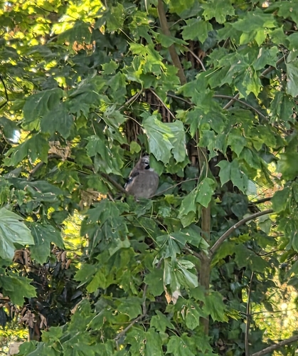
Research-grade observations from iNaturalist (within ~15 mi).
Events
Notable, recurring, and historical events associated with Couëron, sourced from Wikidata.
- Q123164988Jan 1, 1975demonstration
Source: Wikidata (CC0).
Gallery
Official Identifiers
INSEE — French National Institute of Statistics
- INSEE code
- 44047
- Department
- 44
- Region
- 52
- Population (Wikidata)
- 24,103
geo.api.gouv.fr
Sources
- • Wikipedia
- • Wikidata
- • iNaturalist
- • Open-Meteo / sunrise-sunset.org
- • Wikipedia Pageviews API
- • Open Library
- • Wikidata SPARQL (CC0) — population, area, elevation, inception, head of government, Commons image
- • INSEE — French national statistics, via geo.api.gouv.fr (official commune code, population, surface, department, region)
- • INSEE — French National Institute of Statistics — geo.api.gouv.fr