Browse / France / Hauts-de-France / Crépy-en-Valois
Crépy-en-Valois
Hauts-de-Francetown

Crépy-en-Valois
Total population
14,217
Air quality index
Demographic figures from INSEE. Overview below cites Wikipedia and may reference a different year.
City facts
Sister cities
Facts from Wikidata (CC0).
Overview
Crépy-en-Valois is a commune located in the Oise department in northern France. It is located in the Paris Metropolitan Area, 58 km (36 mi) northeast of the center of Paris.
Read more on WikipediaHistory & geography
History
Crépy-en-Valois was founded in the tenth century by the count of Valois and served as the capital of the Valois county and duchy. During the Middle Ages, the city profited from the Champagne fairs, markets for leather, cloth, spices, and other goods. Then, the Valois and the town of Crépy-en-Valois were annexed by the monarchy, and administration was given to a member of the royal family. During the war against the English in fourteenth century, the town was destroyed. In 1828, Crépy-en-Valois annexed the commune of Bouillant. In 1861, a railway station was built, and the town experienced economic growth. On 1 September 1914, the 13th Infantry Brigade of 5th Division, part of the British Expeditionary Force, fought a rearguard action here against the advancing German Army, during the Retreat from Mons. The population of the town increased after World War II, because Crépy is located near Paris (). Crépy-en-Valois was deeply affected by the 1982 Beaune coach crash, in which 44 local children died. Every year since the tragedy, the town hall has held a commemoration on the anniversary date.
Excerpted from the corresponding Wikipedia article (CC BY-SA).
Geography
Coordinates & boundaries from the US Census TIGER/Line shapefiles.
Climate
10-year averages from ERA5 reanalysis (Open-Meteo).
Air quality
Current readings from Open-Meteo Air Quality API (Copernicus CAMS European reanalysis).
Walkability
Amenities nearby
Wildlife & biodiversity
Most-observed species
- wild boarSus scrofa Linnaeus, 1758 · Mammalia1,187
- Common Wood-PigeonColumba palumbus Linnaeus, 1758 · Aves939
- Eurasian BlackbirdTurdus merula Linnaeus, 1758 · Aves868
- Common ChaffinchFringilla coelebs Linnaeus, 1758 · Aves807
- Great TitParus major Linnaeus, 1758 · Aves801
- Eurasian Blue TitCyanistes caeruleus (Linnaeus, 1758) · Aves789
- European RobinErithacus rubecula (Linnaeus, 1758) · Aves692
- Carrion CrowCorvus corone Linnaeus, 1758 · Aves654
Citizen-science & research observations from the Global Biodiversity Information Facility (GBIF).
Earthquake history
Most recent
- M 3.1 — 2005-06-013 km N of Grandvilliers, France
Events from the USGS Earthquake Catalog (global) (FDSN Event Web Service).
Photos
Sights & places nearby
Notable people from here

People born within ~10 km, from Wikidata (CC0). Click any name for their Wikipedia article.
Geography & sun
Nearby airports
Public attention
Books about this place
Recent natural events nearby
Ground air-quality sensors
Recently spotted species
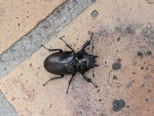
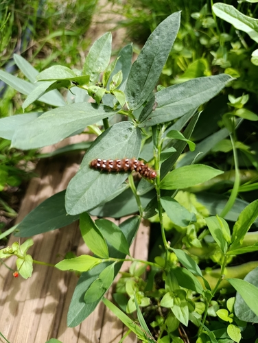
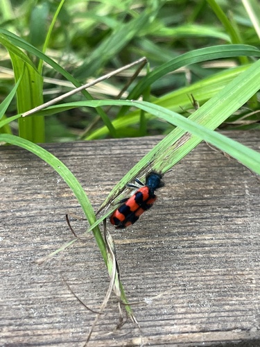
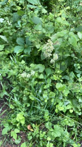
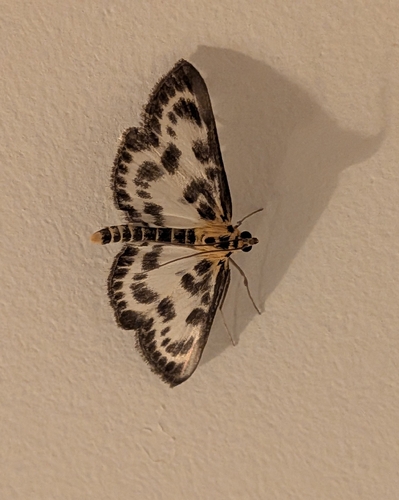
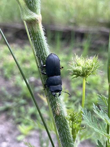
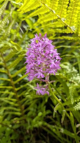
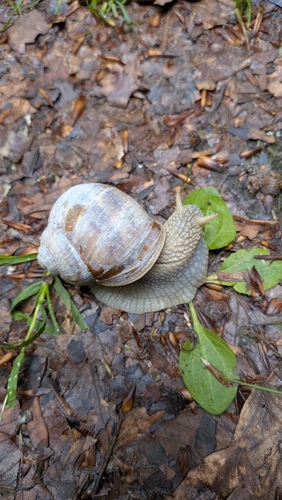
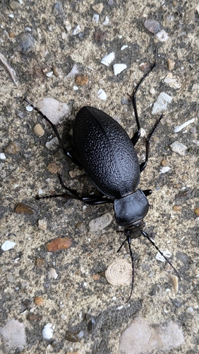
Research-grade observations from iNaturalist (within ~15 mi).
Events
Gallery
Official Identifiers
INSEE — French National Institute of Statistics
- INSEE code
- 60176
- Department
- 60
- Region
- 32
- Population (Wikidata)
- 14,351
geo.api.gouv.fr
Sources
- • Wikipedia
- • Open-Meteo (ERA5 reanalysis)
- • Wikidata
- • Open-Meteo Air Quality (CAMS)
- • USGS Earthquake Catalog (global feed)
- • GBIF (Global Biodiversity Information Facility)
- • iNaturalist
- • Wikidata SPARQL (CC0) — population, area, elevation, inception, head of government, Commons image
- • INSEE — French national statistics, via geo.api.gouv.fr (official commune code, population, surface, department, region)
- • INSEE — French National Institute of Statistics — geo.api.gouv.fr