Browse / France / Île-de-France / Créteil
Créteil
Île-de-Francetown

Créteil
Total population
92,989
Demographic figures from INSEE. Overview below cites Wikipedia and may reference a different year.
City facts
Facts from Wikidata (CC0).
Overview
Créteil is a commune in the southeastern suburbs of Paris, Île-de-France. It is located 11.7 km (7.3 mi) from the centre of Paris. Créteil is the préfecture (capital) of the Val-de-Marne department as well as the seat of the Arrondissement of Créteil. The city is also the seat of a Roman Catholic diocese, and of one of France's 30 nationwide académies (districts) of the Ministry of National Education.
Read more on WikipediaHistory & geography
History
Some rare flints from the Palaeolithic age are still being found in modern times in the area. It is, however, a two-ton, Neolithic-era polishing machine that is the prehistoric pride of Créteil. The first documents referring to Créteil are from the Merovingian era, when it was known as Vicus Cristoilum' The name comes from the prefix crist and oilum. These two terms are thought to be Gallic: "clearing" for oilum and "ridge" for crist. The "clearing" of the "ridge" of the Mont-Mesly is on the road connecting Paris and Sens (Trunk Road 19 today). In 1406, the place name "Créteil" makes its appearance after successive deformations from Cristoill (1278), Cristeuil, Cresteul then Creteuil. During the French Wars of Religion (1567), the Huguenots plundered the church and burned the local charters. New disorders in 1648 forced the evacuation of the inhabitants of Créteil. The end of Louis XIV's reign was marked by a great food shortage throughout the whole of France after a terrible winter in 1709 that resulted in 69 recorded deaths in Créteil. Registers of grievances from the French Revolution in 1789 mention Créteil 15 times. At the beginning of the 18th century, construction of the first middle-class "Parisian" houses began. In 1814, the east of Créteil was taken by Russian troops as part of the Battle of Paris. The bridge which spans the Marne between Créteil and Saint-Maur-des-Fossés was inaugurated on 9 April 1841, replacing an ancient ferry. The Franco-Prussian War of 1870 was particularly cruel for Créteil. The borough was plundered and left in ruins by the Prussians, while the nearby battle of Mont-Mesly on 30 November 1870, left 179 dead. L'Abbaye de Créteil or Abbaye group was a utopian artistic and literary community founded during 1906 named after the…
Geography
Créteil is a city in the south-eastern suburbs of Paris. It is watered by the Marne river which carries out its last loop before the junction with the Seine at the Charenton-le-Pont. The area is an alluvial plain eroded by the action of the Marne and the Seine. Bordering communes include Maisons-Alfort, Saint-Maur-des-Fossés, Bonneuil-sur-Marne, Limeil-Brévannes, Valenton, Choisy-le-Roi and Alfortville. The climate in this area has mild differences between highs and lows, and there is adequate rainfall year-round. According to the Köppen Climate Classification system, Créteil has a marine west coast climate, abbreviated "Cfb" on climate maps.
Excerpted from the corresponding Wikipedia article (CC BY-SA).
Geography
Coordinates & boundaries from the US Census TIGER/Line shapefiles.
Climate
Air quality
Walkability
Amenities nearby
Wildlife & biodiversity
Earthquake history
Photos
Sights & places nearby
Notable people from here


People born within ~10 km, from Wikidata (CC0). Click any name for their Wikipedia article.
Nearby places in Île-de-France
- Le Val Pompadour0.9 mi away
- Saint-Maurice2.8 mi away · pop. 14,603
- Chennevières-sur-Marne3.8 mi away · pop. 18,367
- Ablon-sur-Seine3.9 mi away · pop. 5,946
- Noiseau4.3 mi away · pop. 4,610
- Bry-sur-Marne5 mi away · pop. 17,400
- Marolles-en-Brie5.3 mi away · pop. 4,689
- La Queue-en-Brie5.6 mi away · pop. 12,081
- Paray-Vieille-Poste6 mi away · pop. 7,868
- Fresnes6.1 mi away · pop. 28,780
- Bourg-la-Reine6.2 mi away · pop. 20,810
- Paris7.1 mi away · pop. 2,133,111
Geography & sun
Elevation, sunrise/sunset and daylight from Open-Meteo. Solar climatology from NASA POWER.
Nearby airports
Public attention
Pageview totals from the Wikimedia Pageviews API.
Books about Créteil
Search results from Open Library.
Recent natural events nearby
Ground air-quality sensors
Recently spotted species
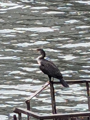
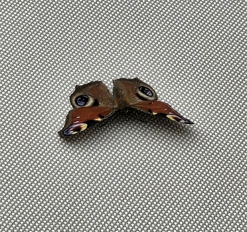

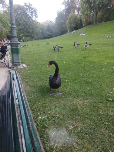
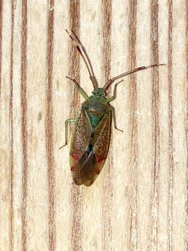
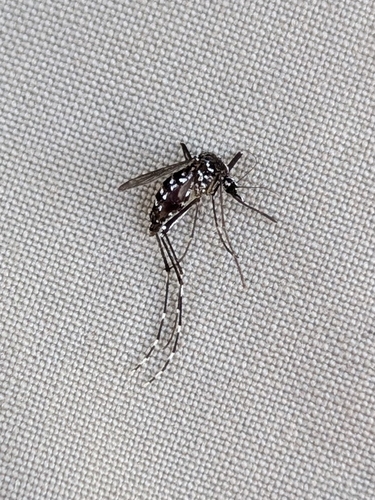
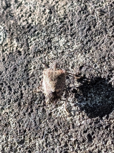
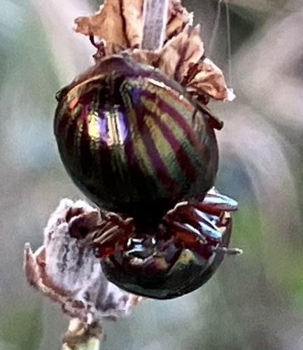
Research-grade observations from iNaturalist (within ~15 mi).
Events
Gallery
Official Identifiers
INSEE — French National Institute of Statistics
- INSEE code
- 94028
- Department
- 94
- Region
- 11
- Population (Wikidata)
- 93,397
geo.api.gouv.fr
Sources
- • Wikipedia
- • Wikidata
- • iNaturalist
- • Open-Elevation
- • Open-Meteo / sunrise-sunset.org
- • Wikipedia Pageviews API
- • Open Library
- • Wikidata SPARQL (CC0) — population, area, elevation, inception, head of government, Commons image
- • INSEE — French national statistics, via geo.api.gouv.fr (official commune code, population, surface, department, region)
- • INSEE — French National Institute of Statistics — geo.api.gouv.fr