Browse / France / Bourgogne-Franche-Comté / Cussey-sur-Lison
Cussey-sur-Lison
Bourgogne-Franche-Comtévillage

Cussey-sur-Lison
Total population
68
Founded
2022
Demographic figures from INSEE. Overview below cites Wikipedia and may reference a different year.
City facts
Facts from Wikidata (CC0).
Overview
Cussey-sur-Lison is a commune in the Doubs department in the Bourgogne-Franche-Comté region in the cultural and historical region of Franche-Comté in eastern France. On 1 January 2022 it merged with the former commune of Châtillon-sur-Lison to form the new commune of Cussey-sur-Lison.
Read more on WikipediaHistory & geography
History
Traces of occupation dating back from the Roman era were found at the end of the 19th century, and recently many items from the Celtic times. During the Middle Ages, the village was a fief of the Seigneurie de Montfort and close to the Seigneurie of Châtillon. The Church of Saint Christopher would have been founded between the 5th and the 10th century, built in Romanesque style with a single nave. Thus the base of the bell tower can be dated from the 12th century and the upper part from the 14th century due to some Gothic decorative elements. From the Middle Ages to the Late modern period, the Cussey parish extended to the neighboring villages of Echay, Bartherans and the Castle and Les Granges ("the Barns") of Châtillon. In 1544, the Holy Roman Emperor and King of Spains Charles V authorized the Seigneur de Montfort, knight of honor of the Dole Parlement, to build a bridge on the river Lison instead of a ferry. In the Early modern period, the village suffered from various disasters : plunder by Swedish soldiers during the Ten Years' War (local name for the Thirty Years' War), the French conquest by Louis XIV and also plague and famine during the 17th century. The population dwindled from 44 households in 1614 to 12 households in 1688. in 1839, an 18 meter (60 feet) high zinc spire was built on the bell tower of the Church. It was torn down in 1966.
Geography
Cussey-sur-Lison is located 30 km (18 mi) south of Besançon, 23 km (14 mi) west of Ornans, 17 km (10 mi) north of Salins-les-Bains and 15 km (9 mi) east of Quingey. The little village of Cussey sits on the left bank of the river Lison. It is surrounded by wooden hills whose cliffs stand up to 150 meters (500 ft) above the village valley. This typical landscape of the Jura Mountains is called a "reculée". The creek Goulue flows through the village where five bridges cross it. An ancient mill "le Moulin du Dessus" (former oil mill and sawmill) is located down the creek before it empties into the river Lison. The lower part of the commune lies in the Lison river Valley, where a bridge from 1793 crosses it to reach the village of Lizine. A dam and a mill "le Moulin du Bas" (former nail factory and then electric power station) were built by the river. The name of the village would come from a Celtic root *cus meaning "rock" or from a pre-Celtic hydronymic root *cus-/cos-.
Excerpted from the corresponding Wikipedia article (CC BY-SA).
Geography
Coordinates & boundaries from the US Census TIGER/Line shapefiles.
Climate
Air quality
Walkability
Amenities nearby
Wildlife & biodiversity
Most-observed species
- Great TitParus major Linnaeus, 1758 · Aves519
- Eurasian BlackbirdTurdus merula Linnaeus, 1758 · Aves474
- Eurasian Blue TitCyanistes caeruleus (Linnaeus, 1758) · Aves459
- Common ChaffinchFringilla coelebs Linnaeus, 1758 · Aves425
- European RobinErithacus rubecula (Linnaeus, 1758) · Aves387
- House SparrowPasser domesticus (Linnaeus, 1758) · Aves353
- Carrion CrowCorvus corone Linnaeus, 1758 · Aves327
- Stinking HelleboreHelleborus foetidus L. · Magnoliopsida285
Citizen-science & research observations from the Global Biodiversity Information Facility (GBIF).
Earthquake history
Most recent
- M 4.4 — 2023-03-221 km NW of Pont-de-Roide, France
- M 4.1 — 2021-12-242 km WSW of Blamont, France
- M 4.1 — 2017-07-017 km E of Châtel-Saint-Denis, Switzerland
- M 4.1 — 2016-12-032 km SE of Damparis, France
- M 2.8 — 2008-10-315 km NE of Boëge, France
- M 2.7 — 2008-07-223 km N of Devecey, France
Events from the USGS Earthquake Catalog (global) (FDSN Event Web Service).
Photos
Sights & places nearby
Notable people from here


People born within ~10 km, from Wikidata (CC0). Click any name for their Wikipedia article.
Nearby places in Bourgogne-Franche-Comté
- Montfort2.6 mi away · pop. 90
- Brères4.5 mi away · pop. 72
- Charnay4.6 mi away · pop. 474
- Fertans5.2 mi away · pop. 309
- Amancey5.7 mi away · pop. 719
- Nans-sous-Sainte-Anne6.1 mi away · pop. 171
- Liesle6.6 mi away · pop. 555
- Gevresin7.5 mi away · pop. 142
- Chassagne-Saint-Denis7.7 mi away · pop. 120
- Bolandoz8 mi away · pop. 374
- Flagey8 mi away · pop. 137
- Clucy8.2 mi away · pop. 74
Geography & sun
Nearby airports
Public attention
Pageview totals from the Wikimedia Pageviews API.
Books about this place
Recent natural events nearby
Ground air-quality sensors
Recently spotted species
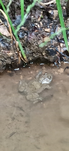
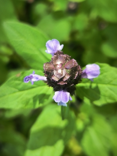
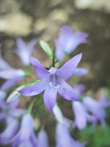
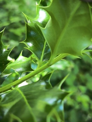
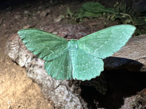
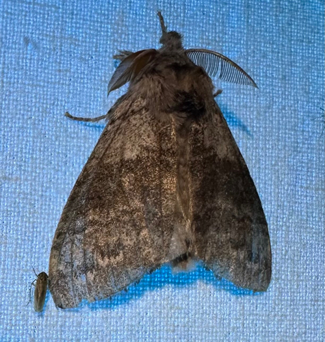
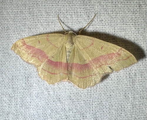
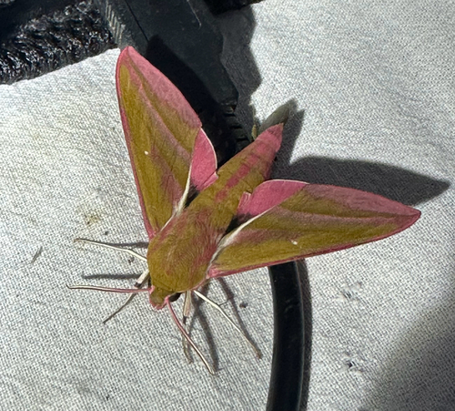
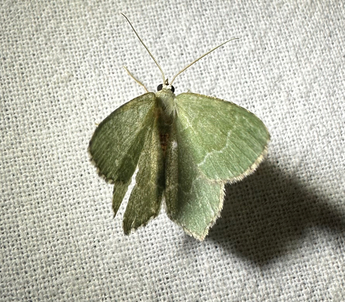
Research-grade observations from iNaturalist (within ~15 mi).
Events
Gallery
Official Identifiers
INSEE — French National Institute of Statistics
- INSEE code
- 25185
- Department
- 25
- Region
- 27
- Population (Wikidata)
- 68
geo.api.gouv.fr
Sources
- • Wikipedia
- • Wikidata
- • USGS Earthquake Catalog (global feed)
- • GBIF (Global Biodiversity Information Facility)
- • iNaturalist
- • Wikipedia Pageviews API
- • INSEE — French national statistics, via geo.api.gouv.fr (official commune code, population, surface, department, region)
- • INSEE — French National Institute of Statistics — geo.api.gouv.fr