Browse / France / Grand Est / Daubensand
Daubensand
Grand Estvillage

Featured view
Daubensand
Total population
428
Coordinates48.35°, 7.72°
Demographic figures from INSEE. Overview below cites Wikipedia and may reference a different year.
Loading additional data from public sources…0 / 11
CensusWikipediaWeatherPlacesPeopleEnvironmentHealth & SchoolsRelatedGeography & CultureLive MonitoringEvents & Gallery
0% completeCity facts
Overview
Daubensand is a commune in the Bas-Rhin department in Alsace in north-eastern France.
Read more on WikipediaHistory & geography
Geography
Latitude
48.3477
Longitude
7.7226
Water area
—
Coordinates & boundaries from the US Census TIGER/Line shapefiles.
Climate
Air quality
Walkability
Amenities nearby
Wildlife & biodiversity
Earthquake history
Photos
Sights & places nearby
Notable people from here
E
Elisabeth Walter
German teacher and writer (1897-1956)

Stef Wertheimer
Israeli politician and businessman

Inge Auerbacher
American chemist and author of German-Jewish descent (b. 1934)
A
Achille Rack
politician (1815-1886)
A
André Burkhard
French footballer
J
Johann Georg Stulz von Ortenberg
S
Selma Stern
German historian (1890–1981)
E
Erwin Bär
German politician
F
Ferdinand Kopf
German politician and lawyer (1857-1943)
J
Johann Georg Grechtler

Kurt Salomon Maier
German specialist in literature, historian and librarian
F
François Antoine Joseph Nicolas Macors
French general (1744-1825)
O
Otmar Traber
German cabaret artist
P
Pia Gilbert
German composer and music educator (1921–2018)

Christophe Felder
French pastry chef
R
René Gsell
French linguist
People born within ~10 km, from Wikidata (CC0). Click any name for their Wikipedia article.
Geography & sun
Avg solar (kWh/m²/day)
3.28
Annual solar (kWh/m²)
1,197
Elevation, sunrise/sunset and daylight from Open-Meteo. Solar climatology from NASA POWER.
Nearby airports
Public attention
Wikipedia views (last 30 days)
13
Avg daily Wikipedia views
0
Attention level
Obscure
Pageview totals from the Wikimedia Pageviews API.
Books about this place
Recent natural events nearby
Ground air-quality sensors
Recently spotted species
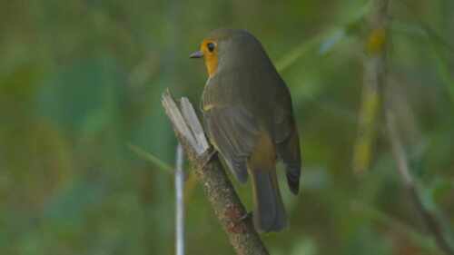
European Robin
Erithacus rubecula
Seen 2026-09-25
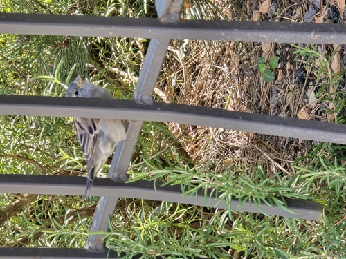
House Sparrow
Passer domesticus
Seen 2026-09-22
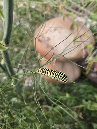
Old World Swallowtail
Papilio machaon
Seen 2026-09-21
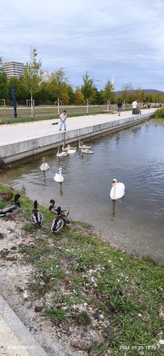
Mute Swan
Cygnus olor
Seen 2026-09-20
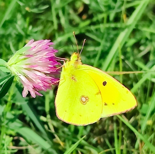
Clouded Yellow
Colias crocea
Seen 2026-09-17
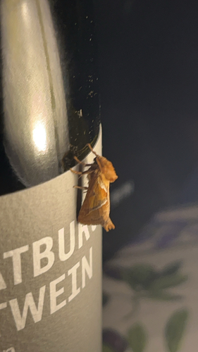
Orange Swift
Triodia sylvina
Seen 2026-09-13
Little Egret
Egretta garzetta
Seen 2026-09-13
Common Kingfisher
Alcedo atthis
Seen 2026-09-13
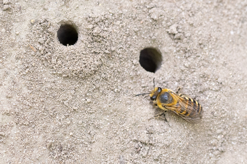
Ivy Cellophane Bee
Colletes hederae
Seen 2026-09-12
Research-grade observations from iNaturalist (within ~15 mi).
Events
Gallery
Official Identifiers
INSEE — French National Institute of Statistics
- INSEE code
- 67086
- Department
- 67
- Region
- 44
- Population (Wikidata)
- 388
geo.api.gouv.fr
Sources
- • Wikipedia
- • Wikidata
- • iNaturalist
- • Open-Meteo / sunrise-sunset.org
- • Wikipedia Pageviews API
- • INSEE — French national statistics, via geo.api.gouv.fr (official commune code, population, surface, department, region)
- • INSEE — French National Institute of Statistics — geo.api.gouv.fr