Browse / France / Hauts-de-France / Douai
Douai
Hauts-de-Francecity

Douai
Total population
39,648
Air quality index
Demographic figures from INSEE. Overview below cites Wikipedia and may reference a different year.
City facts
Facts from Wikidata (CC0).
Overview
Douai is a city in the Nord département in northern France. It is a sub-prefecture of the department. Located on the river Scarpe some 40 kilometres from Lille and 25 km (16 mi) from Arras, Douai is home to one of the region's most impressive belfries.
Read more on WikipediaHistory & geography
History
Its site probably corresponds to that of a 4th-century Roman fortress known as Duacum. From the 10th century, the town was a romance fiefdom of the counts of Flanders. The town became a flourishing textile market centre during the Middle Ages, historically known as Douay or Doway in English. In 1384, the county of Flanders passed into the domains of the Dukes of Burgundy and thence in 1477 into Habsburg possessions. In 1667, Douai was taken by the troops of Louis XIV, and by the 1668 Treaty of Aix-la-Chapelle, the town was ceded to France. During successive sieges from 1710 to 1712, Douai was almost completely destroyed by the British Army. By 1713, the town was fully integrated into France. Douai became the seat of the Parliament of Flanders (fr). The local airfield at La Brayelle was very significant in the history of French aviation. It operated from 1907 to the mid-1950s. In 1909 it was the site of the world's first aeronautical meeting. Douai was again caught up in hostilities in World War I. when for much of the war it was occupied by the Germans. La Brayelle airfield was a base of Manfred von Richthofen, the Red Baron. Later in 1918, the town was partly burned, and was liberated by the British Army after the Battle of Courtrai. The Douaihy family of Lebanon claims descent from inhabitants of the city who settled in Lebanon during the Crusades.
Geography
Douai has an oceanic climate (Köppen climate classification Cfb). The average annual temperature in Douai is . The average annual rainfall is with December as the wettest month. The temperatures are highest on average in July, at around , and lowest in January, at around . The highest temperature ever recorded in Douai was on 25 July 2019; the coldest temperature ever recorded was on 8 January 1985.
Excerpted from the corresponding Wikipedia article (CC BY-SA).
Geography
Coordinates & boundaries from the US Census TIGER/Line shapefiles.
Climate
Air quality
Current readings from Open-Meteo Air Quality API (Copernicus CAMS European reanalysis).
Walkability
Amenities nearby
Wildlife & biodiversity
Most-observed species
- Bee OrchidOphrys apifera Huds. · Liliopsida4,697
- Eurasian BlackbirdTurdus merula Linnaeus, 1758 · Aves1,907
- Great TitParus major Linnaeus, 1758 · Aves1,593
- Eurasian Collared-DoveStreptopelia decaocto (Frivaldszky, 1838) · Aves1,500
- European RobinErithacus rubecula (Linnaeus, 1758) · Aves1,463
- Common ChaffinchFringilla coelebs Linnaeus, 1758 · Aves1,433
- Eurasian Blue TitCyanistes caeruleus (Linnaeus, 1758) · Aves1,323
- Common Wood-PigeonColumba palumbus Linnaeus, 1758 · Aves954
Citizen-science & research observations from the Global Biodiversity Information Facility (GBIF).
Earthquake history
Most recent
- M 2.6 — 2008-08-081 km SSE of Boussu, Belgium
- M 3.2 — 2008-07-141 km SW of Boussu, Belgium
- M 3.1 — 2005-02-271 km NW of Libercourt, France
- M 2.5 — 2004-10-030 km ESE of Maubray, Belgium
- M 2.6 — 2003-01-312 km SSE of Loverval, Belgium
- M 2.5 — 2002-11-140 km ENE of Nalinnes, Belgium
Events from the USGS Earthquake Catalog (global) (FDSN Event Web Service).
Photos
Sights & places nearby
Notable people from here


People born within ~10 km, from Wikidata (CC0). Click any name for their Wikipedia article.
Nearby places in Hauts-de-France
- Lambres-lez-Douai1.3 mi away · pop. 4,926
- Courchelettes1.9 mi away · pop. 2,881
- Férin2.8 mi away · pop. 1,447
- Râches4.1 mi away · pop. 2,660
- Moncheaux6 mi away · pop. 1,703
- Drocourt7.1 mi away · pop. 2,943
- Émerchicourt8.6 mi away · pop. 822
- Tourmignies9.4 mi away · pop. 947
- Marquette-en-Ostrevant9.9 mi away · pop. 1,931
- Orchies10.3 mi away · pop. 8,455
- Erre10.3 mi away · pop. 1,574
- Wandignies-Hamage11 mi away · pop. 1,318
Geography & sun
Elevation, sunrise/sunset and daylight from Open-Meteo. Solar climatology from NASA POWER.
Nearby airports
Public attention
Pageview totals from the Wikimedia Pageviews API.
Books about Douai
Search results from Open Library.
Recent natural events nearby
Ground air-quality sensors
Recently spotted species
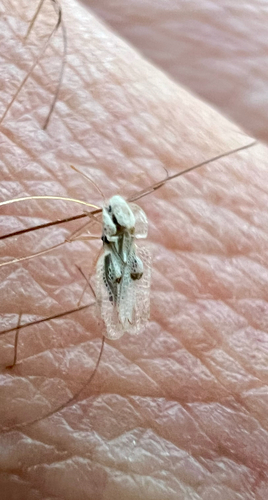
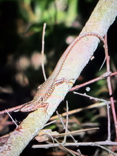
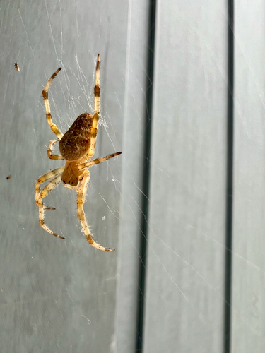
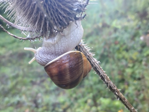
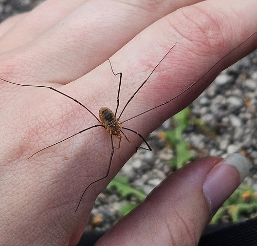
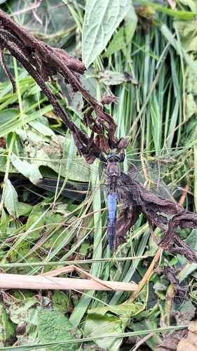
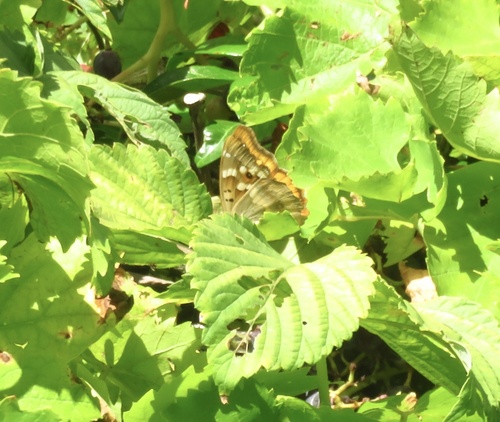
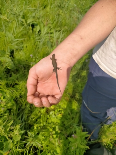
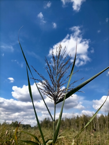
Research-grade observations from iNaturalist (within ~15 mi).
Events
Gallery
Official Identifiers
INSEE — French National Institute of Statistics
- INSEE code
- 59178
- Department
- 59
- Region
- 32
- Population (Wikidata)
- 40,250
geo.api.gouv.fr
Sources
- • Wikipedia
- • Wikidata
- • Open-Meteo Air Quality (CAMS)
- • USGS Earthquake Catalog (global feed)
- • GBIF (Global Biodiversity Information Facility)
- • iNaturalist
- • Open-Meteo / sunrise-sunset.org
- • Wikipedia Pageviews API
- • Open Library
- • Wikidata SPARQL (CC0) — population, area, elevation, inception, head of government, Commons image
- • INSEE — French national statistics, via geo.api.gouv.fr (official commune code, population, surface, department, region)
- • INSEE — French National Institute of Statistics — geo.api.gouv.fr