Browse / France / Bretagne / Douarnenez
Douarnenez
Bretagnetown

Douarnenez
Total population
14,163
Demographic figures from INSEE. Overview below cites Wikipedia and may reference a different year.
City facts
Sister cities
Facts from Wikidata (CC0).
Overview
Douarnenez, is a commune in the French department of Finistère, region of Brittany, northwestern France.
Read more on WikipediaHistory & geography
History
The legendary city of Ys, of Breton folklore, is believed to lie beneath Douarnenez Bay. The port is also associated with the Arthurian medieval story of Tristan, lover of Iseult, for whom Tristan Island is named. The island was originally named St Tutuarn Island after the priory founded there in the 12th century. Douarnenez has several 16th and 17th-century churches, including the Church of Ploaré, which has a Gothic steeple (1548–86), and the chapels of Sainte-Croix, Sainte-Hélène, and Saint-Michel. The written history of Douarnenez begins around 1118 when, according to a charter dated 1126, Robert de Locuvan, Bishop of Cornouaille, donated the Island of St Tutuarn and the lands belonging to it to the Abbey of Marmoutier. As a result, a priory was built on the island. In the 14th century, the island became known as Tristan. The fishing history of Douarnenez goes back at least to Gallo-Roman times when, as archeological finds demonstrate, fish were salted along the cliffs of Plomarc'h. In the late 18th century and the years before the French Revolution, sardines became the driving force for the local economy; the fishing industry was based on their harvest and, later, processing. By the beginning of the 20th century, there were huge fishing and canning activities at the port. The strikes in the 1920s in favour of better working conditions for the factory women or Penn Sardin were the main reason why Douarnenez became one of the first communist municipalities in France. Today, the canning trade continues, although most of the fish are brought in from other ports. Douarnenez is still a centre of boat building and repair work. Douarnenez owes much of its prosperity and expansion to the construction of railways at the end of the 19th century, which provided services…
Excerpted from the corresponding Wikipedia article (CC BY-SA).
Geography
Coordinates & boundaries from the US Census TIGER/Line shapefiles.
Climate
Air quality
Walkability
Amenities nearby
Wildlife & biodiversity
Earthquake history
Photos
Sights & places nearby
Notable people from here


People born within ~10 km, from Wikidata (CC0). Click any name for their Wikipedia article.
Geography & sun
Elevation, sunrise/sunset and daylight from Open-Meteo. Solar climatology from NASA POWER.
Nearby airports
Public attention
Pageview totals from the Wikimedia Pageviews API.
Books about Douarnenez
Search results from Open Library.
Recent natural events nearby
Ground air-quality sensors
Recently spotted species
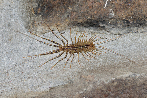
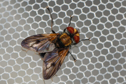
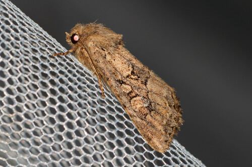
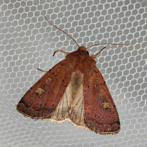
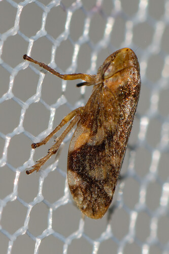
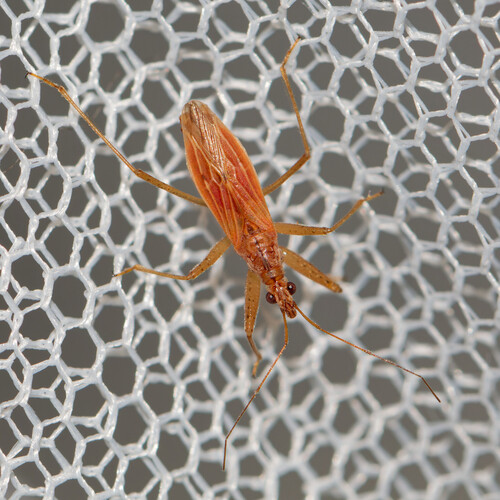
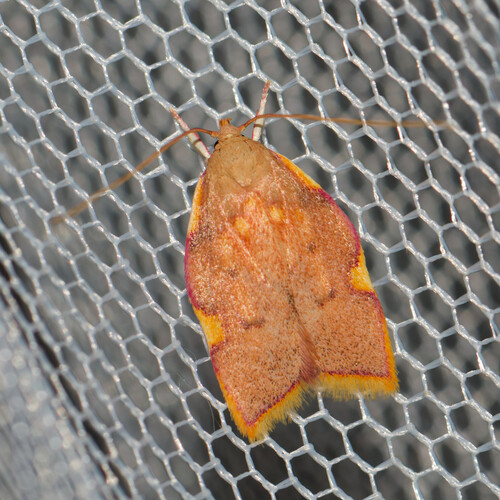
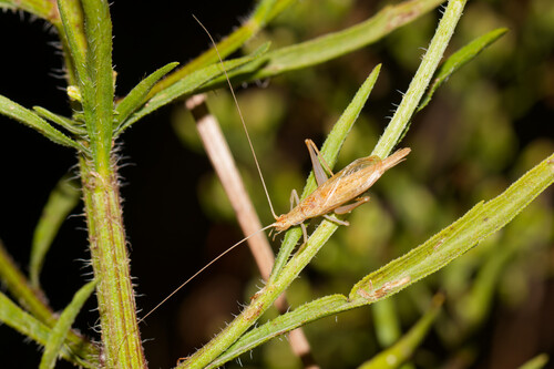
Research-grade observations from iNaturalist (within ~15 mi).
Events
Gallery
Official Identifiers
INSEE — French National Institute of Statistics
- INSEE code
- 29046
- Department
- 29
- Region
- 53
- Population (Wikidata)
- 14,068
geo.api.gouv.fr
Sources
- • Wikipedia
- • Wikidata
- • iNaturalist
- • Open-Meteo / sunrise-sunset.org
- • Wikipedia Pageviews API
- • Open Library
- • Wikidata SPARQL (CC0) — population, area, elevation, inception, head of government, Commons image
- • INSEE — French national statistics, via geo.api.gouv.fr (official commune code, population, surface, department, region)
- • INSEE — French National Institute of Statistics — geo.api.gouv.fr