Browse / France / Provence-Alpes-Côte d'Azur / Draguignan
Draguignan
Provence-Alpes-Côte d'Azurtown

Draguignan
Total population
39,745
Demographic figures from INSEE. Overview below cites Wikipedia and may reference a different year.
City facts
Overview
Draguignan is a commune in the Var department in the administrative region of Provence-Alpes-Côte d'Azur, southeastern France.
Read more on WikipediaHistory & geography
History
The name of Draguignan ("Draconianum") appeared for the first time in 909. During the Middle-Ages, Draguignan was a small village whose people lived from olive and grape cultivation. The Hôtel de Ville is situated within the grounds of the former Convent of the Cordeliers which dates from 1265. Draguignan became the "prefecture" of the Var in 1790, at the beginning of the French Revolution. This was despite the town by far not being the biggest city in the department. It remained the seat of the prefecture until 1974. In the 19th century and during a large part of the 20th century, the people of Draguignan (in French: "Dracénois", in English: "Draceners") voted for liberal parties (Radical-Socialist Party, Socialist Party). The town was occupied by the Wehrmacht in 1942-44 and freed in August 1944, after Operation Dragoon. The city welcomed the "École nationale d'artillerie" (Artillery School) in 1976, then the "École nationale d'infanterie" (Infantry School) in 2010. The arrival of the military involved the development of the city : the small town became a city in the second part of the 20th century : 13,400 citizens in 1954, 33,000 in 2000, 38,000 in 2010. On June 15, 2010, the city was flooded. Torrential rain caused the deaths of 12 people in the town and 25 in the neighborhoods.
Geography
The elevation is 200 m. The highest hill near Draguignan is Malmont (551 m). The main river near Draguignan is the Nartuby. The city is set in a valley NW-SE, about wide. Under the Köppen climate classification, Draguignan falls within the Mediterranean climate zone (Csa), with mild and wet winters, and hot and dry summers, with most of the precipitation occurring during the autumn months of October and November. Frost is rare and temperatures rarely fall below freezing. Furthermore, the town is protected from wind by the Malmont peak and the western massif of the Selves. The hills downstream of Draguignan date from the Middle Triassic, while those that rise upstream belong to the Upper Triassic. Up North, we can see a long bar of stony plateau, with summits made of Jurassic limestones, sometimes intersected by deep canyons. This northern region of the "baous" or also called massive mountainous barriers, deeply wrinkled and fractured, reveals successive basins in the east–west direction. Draguignan is in a zone of moderate risk of seismicity.
Excerpted from the corresponding Wikipedia article (CC BY-SA).
Geography
Coordinates & boundaries from the US Census TIGER/Line shapefiles.
Climate
Air quality
Walkability
Amenities nearby
Wildlife & biodiversity
Earthquake history
Photos
Sights & places nearby
Notable people from here
Nearby places in Provence-Alpes-Côte d'Azur
- Trans-en-Provence2.6 mi away · pop. 6,285
- Les Arcs5.2 mi away · pop. 7,580
- Montferrat5.3 mi away · pop. 1,655
- Lorgues6 mi away · pop. 9,542
- Ampus6.2 mi away · pop. 899
- Saint-Antonin-du-Var8.9 mi away · pop. 745
- La Bouverie9.4 mi away
- Villecroze-les-Grottes9.8 mi away · pop. 1,494
- Le Thoronet10 mi away · pop. 2,613
- Entrecasteaux11.1 mi away · pop. 1,127
- Le Cannet-des-Maures11.8 mi away · pop. 4,592
- Fayence13.1 mi away · pop. 5,890
Geography & sun
Elevation, sunrise/sunset and daylight from Open-Meteo. Solar climatology from NASA POWER.
Nearby airports
Public attention
Pageview totals from the Wikimedia Pageviews API.
Books about this place
Recent natural events nearby
Ground air-quality sensors
Recently spotted species
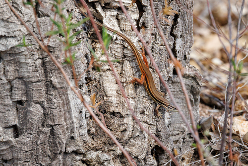
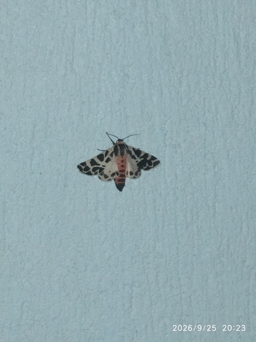
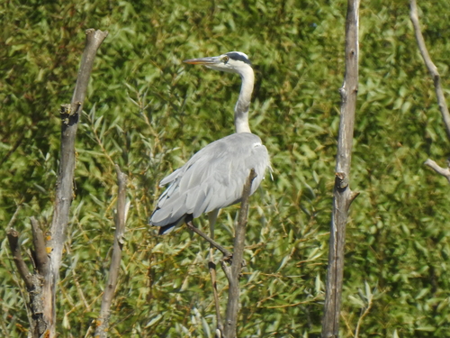
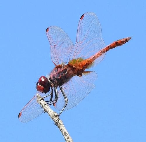
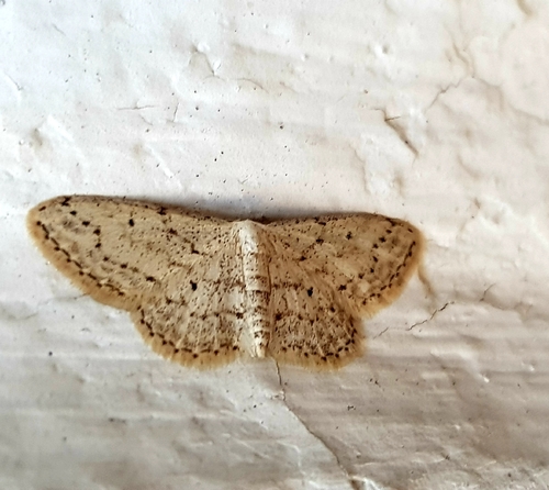
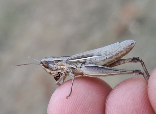
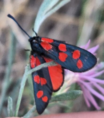

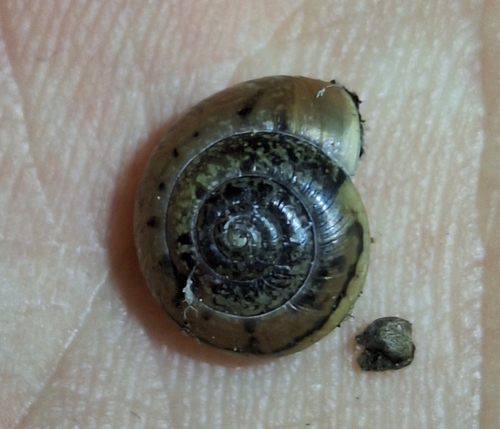
Research-grade observations from iNaturalist (within ~15 mi).
Events
Gallery
Official Identifiers
INSEE — French National Institute of Statistics
- INSEE code
- 83050
- Department
- 83
- Region
- 93
- Population (Wikidata)
- 40,826
geo.api.gouv.fr
Sources
- • Wikipedia
- • iNaturalist
- • Open-Meteo / sunrise-sunset.org
- • Wikipedia Pageviews API
- • Wikidata SPARQL (CC0) — population, area, elevation, inception, head of government, Commons image
- • INSEE — French national statistics, via geo.api.gouv.fr (official commune code, population, surface, department, region)
- • INSEE — French National Institute of Statistics — geo.api.gouv.fr