Browse / France / Île-de-France / Draveil
Draveil
Île-de-Francetown

Draveil
Total population
29,173
Air quality index
Demographic figures from INSEE. Overview below cites Wikipedia and may reference a different year.
City facts
Facts from Wikidata (CC0).
Overview
Draveil is a commune in the Essonne department in the southern outer suburbs of Paris, France. It is located 19.1 km (11.9 mi) from the centre of Paris at Notre-Dame. As of 2023, the population of the commune was 30,098. It was formally twinned with Hove, East Sussex in the United Kingdom.
Read more on WikipediaHistory & geography
History
Human presence in Draveil during the Neolithic period is suggested by the discovery of a menhir called the "Pierre à Mousseaux" dating from the fourth millennium BC and confirmed by the presence of tools and weapons in flint cut found in the Mainville quarter of Draveil. The Gauls named the place Dracvern meaning "the spirit of the Alder". The Romans called it Dravernum. In the Merovingian period a money minting facility was installed here, which minted one-third of a gold sol called "Draverno". The current Hôtel de Ville was built as a private residence in 1781.
Geography
Draveil is situated between the right bank of the Seine and the Forest of Sénart which gives the whole town a very green environment. In fact, the official motto of the town in Latin is "Inter undas et arbores", which can be translated into English as "between water and trees", a reference to its location between the Seine and the Forest of Sénart. Hardly a third of Draveil's area has been developed, thus offering a preserved environment to its inhabitants. Draveil also hosts a large green park called the "Base de loisirs du Port-aux-Cerises" that covers over 175 hectares including trees, lakes and activity areas including a horse-riding club, an amusement park for children, an open-air swimming-pool, football field, tennis courts, acrobranche rope park, a small marina with berthing space for about thirty boats, etc. Draveil consists of the main town Draveil, the former villages Champrosay and Mainville, and several newer housing developments. Champrosay was home to several artists in the 19th and early 20th century, including painters Marie Laurencin and Eugène Delacroix and writer Alphonse Daudet.
Excerpted from the corresponding Wikipedia article (CC BY-SA).
Geography
Coordinates & boundaries from the US Census TIGER/Line shapefiles.
Climate
Air quality
Current readings from Open-Meteo Air Quality API (Copernicus CAMS European reanalysis).
Walkability
Amenities nearby
Wildlife & biodiversity
Most-observed species
- Great TitParus major Linnaeus, 1758 · Aves12,242
- Common Wood-PigeonColumba palumbus Linnaeus, 1758 · Aves9,968
- Eurasian MagpiePica pica (Linnaeus, 1758) · Aves9,835
- Eurasian Blue TitCyanistes caeruleus (Linnaeus, 1758) · Aves9,816
- European RobinErithacus rubecula (Linnaeus, 1758) · Aves9,531
- Carrion CrowCorvus corone Linnaeus, 1758 · Aves8,446
- Eurasian BlackbirdTurdus merula Linnaeus, 1758 · Aves8,161
- Rose-ringed ParakeetPsittacula krameri (Scopoli, 1769) · Aves7,771
Citizen-science & research observations from the Global Biodiversity Information Facility (GBIF).
Earthquake history
Events from the USGS Earthquake Catalog (global) (FDSN Event Web Service).
Photos
Sights & places nearby
Notable people from here


People born within ~10 km, from Wikidata (CC0). Click any name for their Wikipedia article.
Nearby places in Île-de-France
- Grigny2.3 mi away · pop. 27,257
- Paray-Vieille-Poste2.8 mi away · pop. 7,868
- Ablon-sur-Seine2.8 mi away · pop. 5,946
- Soisy-sur-Seine3 mi away · pop. 7,322
- Morangis3.5 mi away · pop. 13,211
- Villemoisson-sur-Orge3.8 mi away · pop. 7,120
- Brunoy4.5 mi away · pop. 25,423
- Étiolles4.5 mi away · pop. 3,086
- Sainte-Geneviève-des-Bois4.9 mi away · pop. 35,846
- Ballainvilliers5.2 mi away · pop. 4,752
- Saint-Germain-lès-Corbeil5.6 mi away · pop. 7,472
- Quincy-sous-Sénart6.1 mi away · pop. 9,477
Geography & sun
Elevation, sunrise/sunset and daylight from Open-Meteo. Solar climatology from NASA POWER.
Nearby airports
Public attention
Pageview totals from the Wikimedia Pageviews API.
Books about this place
Recent natural events nearby
Ground air-quality sensors
Recently spotted species
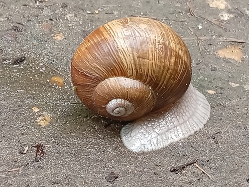
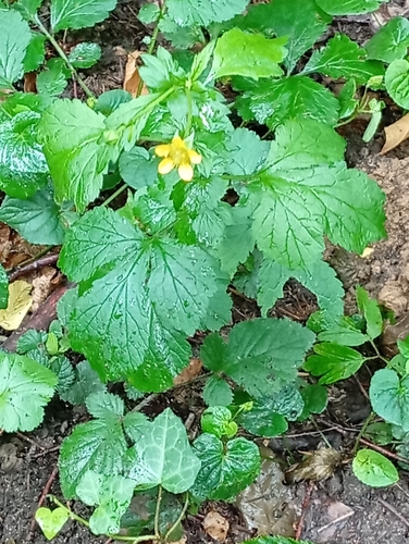
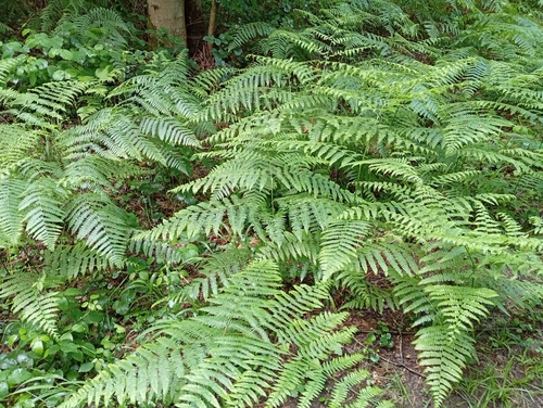
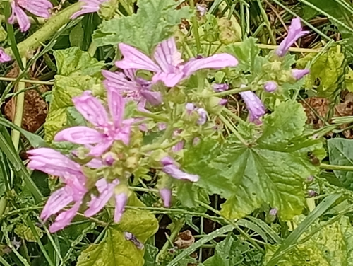
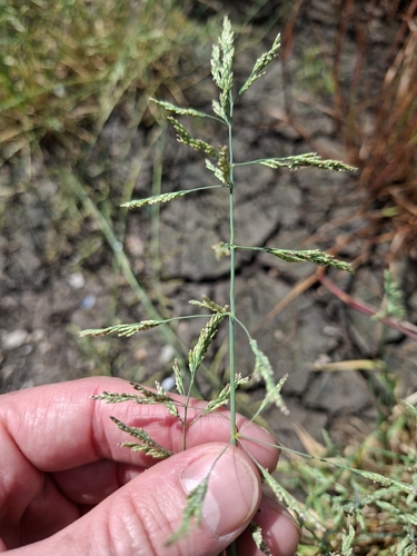
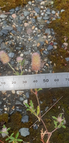
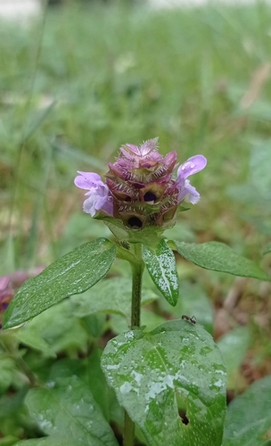
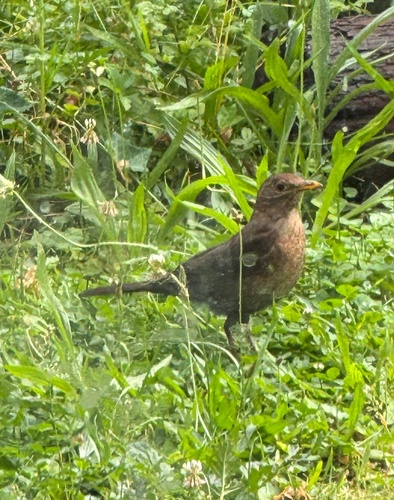
Research-grade observations from iNaturalist (within ~15 mi).
Events
Gallery
Geotagged photos within ~6 miles of Draveil, from Wikimedia Commons contributors.
_-_2023-10-21_-_1.jpg) 0 mi
0 mi_-_2023-10-21_-_2.jpg) 0 mi
0 mi_-_2023-10-21_-_3.jpg) 0 mi
0 mi_-_2023-10-21_-_4.jpg) 0 mi
0 mi_-_2023-10-21_-_5.jpg) 0 mi
0 mi_-_2023-10-21_-_6.jpg) 0 mi
0 mi_-_2023-10-21_-_7.jpg) 0 mi
0 mi_-_2023-10-21_-_8.jpg) 0 mi
0 mi_-_2023-10-21_-_3.jpg) 0.1 mi
0.1 mi_-_2023-10-21_-_4.jpg) 0.1 mi
0.1 mi_-_2023-10-21_-_5.jpg) 0.1 mi
0.1 mi_-_2023-10-21_-_6.jpg) 0.1 mi
0.1 mi_-_2023-10-21_-_1.jpg) 0.1 mi
0.1 mi_-_2023-10-21_-_2.jpg) 0.1 mi
0.1 mi_-_2023-10-21_-_1.jpg) 0.1 mi
0.1 mi_-_2023-10-21_-_2.jpg) 0.1 mi
0.1 mi_-_2023-10-21_-_3.jpg) 0.1 mi
0.1 mi_-_2023-10-21_-_1.jpg) 0.1 mi
0.1 mi_-_2023-10-21_-_2.jpg) 0.1 mi
0.1 mi_-_2023-10-21_-_6.jpg) 0.1 mi
0.1 mi_-_2023-10-21_-_5.jpg) 0.1 mi
0.1 mi_-_2023-10-21_-_8.jpg) 0.1 mi
0.1 mi_-_2023-10-21_-_7.jpg) 0.1 mi
0.1 mi_-_2023-10-21_-_9.jpg) 0.1 mi
0.1 miPhotos via Wikimedia Commons — see each image page for license & attribution.
Official Identifiers
INSEE — French National Institute of Statistics
- INSEE code
- 91201
- Department
- 91
- Region
- 11
- Population (Wikidata)
- 30,098
geo.api.gouv.fr
Sources
- • Wikipedia
- • Wikimedia Commons
- • Wikidata
- • Open-Meteo Air Quality (CAMS)
- • USGS Earthquake Catalog (global feed)
- • GBIF (Global Biodiversity Information Facility)
- • iNaturalist
- • Open-Meteo / sunrise-sunset.org
- • Wikipedia Pageviews API
- • Wikidata SPARQL (CC0) — population, area, elevation, inception, head of government, Commons image
- • INSEE — French national statistics, via geo.api.gouv.fr (official commune code, population, surface, department, region)
- • INSEE — French National Institute of Statistics — geo.api.gouv.fr