Browse / France / Auvergne-Rhône-Alpes / Écully
Écully
Auvergne-Rhône-Alpestown

Écully
Total population
18,361
Demographic figures from INSEE. Overview below cites Wikipedia and may reference a different year.
City facts
Facts from Wikidata (CC0).
Overview
Écully is a suburban commune in the Metropolis of Lyon in the Auvergne-Rhône-Alpes region, central-eastern France. It is a northwestern suburb of Lyon, bordering its 9th arrondissement.
Read more on WikipediaHistory & geography
History
The circumstances and date of foundation of the city are lost in the mists of time. The site has been settled by humans since the Stone Age, burial pits as well as several polished stone axes, pottery debris, and a hollowed out stone in the form of a basin or mortar were found in 1860 during excavations. In the early days of the Roman Empire the development of the Roman colony and capital of Gaul Lugdunum (which later became the city of Lyon) required the construction of major roads leading to other cities in Gaul. Built by Marcus Vipsanius Agrippa (son-in-law, and lieutenant to the first Roman emperor Augustus) two of these roads pass through Écully. The Roman colony also needed a massive water supply. The aqueducts that brought it from the Mont d'Or and the Brevenne river, crossed Écully. The name of the town appears for the first time in 980 AD in a document of a cartulary of the Savigny Abbey. Écully benefited from the economic development of Lyon. Rich merchants, aldermen, and notables bought the land and built beautiful houses, attracted in particular by a favorable tax system, obtained in 1485 and confirmed by Henri IV in 1594: the exemption from the taille direct land tax. Some of the city's oldest remaining families settled in the city during this time.
Geography
Écully is at 6 km of Lyon's city centre. It offers a privileged lifestyle in the relative countryside just a few minutes from the centre of the second-largest metropolitan area in France. The city is served by the Transports en commun lyonnais (TCL).
Excerpted from the corresponding Wikipedia article (CC BY-SA).
Geography
Coordinates & boundaries from the US Census TIGER/Line shapefiles.
Climate
Air quality
Walkability
Amenities nearby
Wildlife & biodiversity
Most-observed species
- Species 9705453Species 97054535,463
- Eurasian BlackbirdTurdus merula Linnaeus, 1758 · Aves5,278
- European RobinErithacus rubecula (Linnaeus, 1758) · Aves4,540
- Common Wood-PigeonColumba palumbus Linnaeus, 1758 · Aves4,170
- Eurasian MagpiePica pica (Linnaeus, 1758) · Aves3,829
- Carrion CrowCorvus corone Linnaeus, 1758 · Aves3,823
- Eurasian Blue TitCyanistes caeruleus (Linnaeus, 1758) · Aves3,761
- Species 5231190Species 52311903,658
Citizen-science & research observations from the Global Biodiversity Information Facility (GBIF).
Earthquake history
Most recent
- M 3.3 — 2025-05-068 km W of Chapareillan, France
- M 3 — 2008-01-052 km N of Saint-Quentin-Fallavier, France
- M 2.5 — 2007-10-183 km SE of Arlanc, France
- M 3.1 — 2007-07-09France
- M 2.6 — 2007-05-233 km W of Jasseron, France
- M 2.7 — 2007-05-072 km N of Tain-l'Hermitage, France
Events from the USGS Earthquake Catalog (global) (FDSN Event Web Service).
Photos
Sights & places nearby
Notable people from here
Nearby places in Auvergne-Rhône-Alpes
- Saint-Cyr-au-Mont-d'Or3.4 mi away · pop. 5,900
- Limonest4.2 mi away · pop. 3,838
- Fontaines-sur-Saône5.2 mi away · pop. 7,047
- Vaugneray6.4 mi away · pop. 5,571
- Chasselay6.8 mi away · pop. 2,828
- Messimy7.3 mi away · pop. 3,543
- Saint-Germain-au-Mont-d'Or7.5 mi away · pop. 2,978
- Neuville-sur-Saône7.6 mi away · pop. 7,721
- Miribel9 mi away · pop. 10,225
- Montagny10.3 mi away · pop. 3,200
- Saint-Maurice-de-Beynost10.4 mi away · pop. 4,155
- Meyzieu10.9 mi away · pop. 35,882
Geography & sun
Elevation, sunrise/sunset and daylight from Open-Meteo. Solar climatology from NASA POWER.
Nearby airports
Public attention
Pageview totals from the Wikimedia Pageviews API.
Books about this place
Recent natural events nearby
Ground air-quality sensors
Recently spotted species
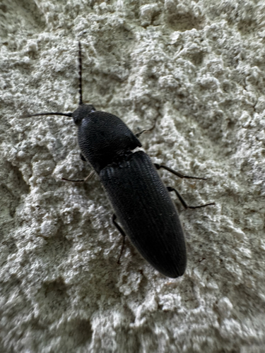

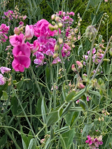
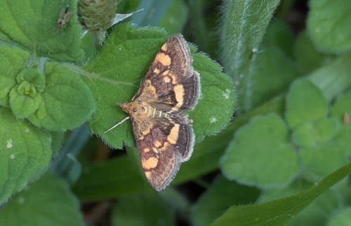
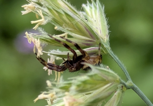
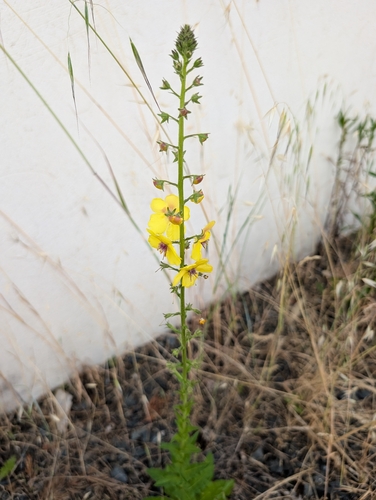
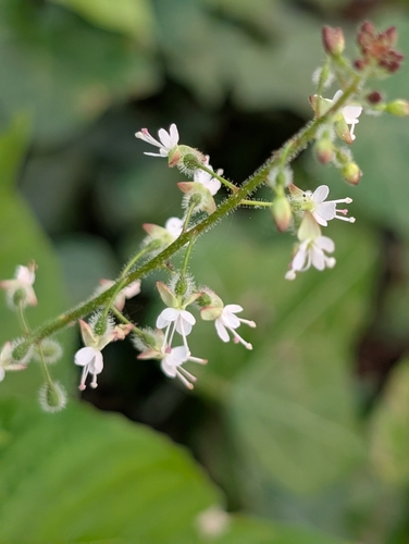
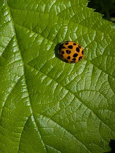
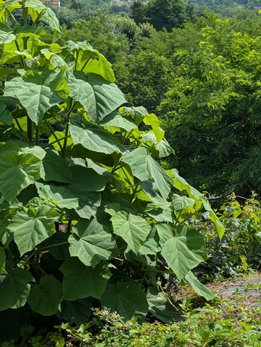
Research-grade observations from iNaturalist (within ~15 mi).
Events
Gallery
Geotagged photos within ~6 miles of Écully, from Wikimedia Commons contributors.
 0.1 mi
.jpg) 0.2 mi
0.2 mi 0.3 mi
 0.3 mi
 0.3 mi
 0.3 mi
 0.4 mi
 0.4 mi
.jpg) 0.4 mi
0.4 mi.jpg) 0.4 mi
0.4 mi.jpg) 0.4 mi
0.4 mi.jpg) 0.4 mi
0.4 mi.jpg) 0.4 mi
0.4 mi.jpg) 0.4 mi
0.4 mi.jpg) 0.4 mi
0.4 mi.jpg) 0.4 mi
0.4 mi 0.5 mi
 0.5 mi
 0.5 mi
 0.5 mi
 0.5 mi
 0.5 mi
 0.5 mi
 0.5 mi
Photos via Wikimedia Commons — see each image page for license & attribution.
Official Identifiers
INSEE — French National Institute of Statistics
- INSEE code
- 69081
- Department
- 69
- Region
- 84
- Population (Wikidata)
- 17,944
geo.api.gouv.fr
Sources
- • Wikipedia
- • Wikimedia Commons
- • Wikidata
- • USGS Earthquake Catalog (global feed)
- • GBIF (Global Biodiversity Information Facility)
- • iNaturalist
- • Open-Meteo / sunrise-sunset.org
- • Wikipedia Pageviews API
- • Wikidata SPARQL (CC0) — population, area, elevation, inception, head of government, Commons image
- • INSEE — French national statistics, via geo.api.gouv.fr (official commune code, population, surface, department, region)
- • INSEE — French National Institute of Statistics — geo.api.gouv.fr