Browse / France / Auvergne-Rhône-Alpes / Ennezat
Ennezat
Auvergne-Rhône-Alpesvillage

Ennezat
Total population
2,549
Demographic figures from INSEE. Overview below cites Wikipedia and may reference a different year.
City facts
Facts from Wikidata (CC0).
Overview
Ennezat is a commune in the Puy-de-Dôme department in Auvergne in central France.
Read more on WikipediaHistory & geography
History
The site was occupied early by the Gauls and Romans, who settled on hillocks (discovery of various debris, probably pre-Celtic). It was an important transit point (due to its geographical location: Ennezat opens onto the Paris Basin), a crossroads between several regions (mountains, hillsides, cereal plains), like all the towns of the Limagne. During the Middle Ages, the region was unsafe, but Ennezat did not experience any period of unrest, and in the 10th century, it was a fairly important town. In 955, at the request of the Bishop of Clermont-Ferrand, the lords of Auvergne united to recognize the authority of the Count of Poitiers, and William III of Aquitaine had authority over the Auvergne region. Around 1060, a chapter of twelve canons was founded by Duke William VI of Aquitaine in honor of Saints Victor and Couronne. The political situation at this time was complicated: the church, the castle, and the town belonged to the Count of Auvergne. But a second town was created nearby and called "Villeneuve." It was built on a geometric plan. The space between the two towns (Ennezat-le-Chastel and Ennezat-Villeneuve) remained unoccupied until the 19th century. Although the town was divided into two villages, it had a common parish but no administration. Its economy was good: two fairs have existed since 1341, and two more were established there in 1556. In 1588, Ennezat became one of the treize bonnes villes d'Auvergne (thirteen good towns of Auvergne), which had supported Charles VII during the Praguerie revolt of 1440 The lordship of Ennezat was abolished with the Revolution in 1789. In the 19th and 20th centuries, beet cultivation developed, but the town did not prosper.
Excerpted from the corresponding Wikipedia article (CC BY-SA).
Geography
Coordinates & boundaries from the US Census TIGER/Line shapefiles.
Climate
Air quality
Walkability
Amenities nearby
Wildlife & biodiversity
Most-observed species
- Eurasian BlackbirdTurdus merula Linnaeus, 1758 · Aves1,682
- Great TitParus major Linnaeus, 1758 · Aves1,643
- House SparrowPasser domesticus (Linnaeus, 1758) · Aves1,410
- Eurasian Blue TitCyanistes caeruleus (Linnaeus, 1758) · Aves1,254
- Eurasian Collared-DoveStreptopelia decaocto (Frivaldszky, 1838) · Aves1,077
- Common ChaffinchFringilla coelebs Linnaeus, 1758 · Aves1,074
- European RobinErithacus rubecula (Linnaeus, 1758) · Aves1,044
- Common Wood-PigeonColumba palumbus Linnaeus, 1758 · Aves998
Citizen-science & research observations from the Global Biodiversity Information Facility (GBIF).
Earthquake history
Most recent
- M 4.2 — 2022-05-095 km SW of Villebret, France
- M 2.6 — 2008-11-164 km N of Saint-Georges-de-Mons, France
- M 2.6 — 2008-09-125 km E of Mont-Dore, France
- M 2.5 — 2008-09-129 km SSW of Saint-Sauves-d'Auvergne, France
- M 2.5 — 2008-09-117 km SW of Aydat, France
- M 3 — 2008-09-104 km E of Mont-Dore, France
Events from the USGS Earthquake Catalog (global) (FDSN Event Web Service).
Photos
Sights & places nearby
Notable people from here
Nearby places in Auvergne-Rhône-Alpes
- Riom5.1 mi away · pop. 18,736
- Aigueperse8.6 mi away · pop. 2,736
- Le Cendre12.4 mi away · pop. 5,494
- Royat12.4 mi away · pop. 4,403
- Romagnat13.1 mi away · pop. 7,869
- La Roche-Blanche13.8 mi away · pop. 3,436
- Gannat14 mi away · pop. 5,759
- Les Martres-de-Veyre14.8 mi away · pop. 3,863
- Saint-Genès-Champanelle15.7 mi away · pop. 3,883
- Abrest17.5 mi away · pop. 2,919
- Vic-le-Comte17.6 mi away · pop. 5,242
- Celles-sur-Durolle20.1 mi away · pop. 1,643
Geography & sun
Elevation, sunrise/sunset and daylight from Open-Meteo. Solar climatology from NASA POWER.
Nearby airports
Public attention
Pageview totals from the Wikimedia Pageviews API.
Books about this place
Recent natural events nearby
Ground air-quality sensors
Recently spotted species
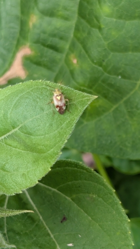
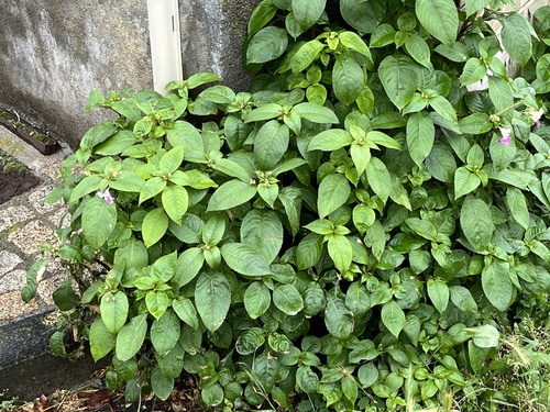
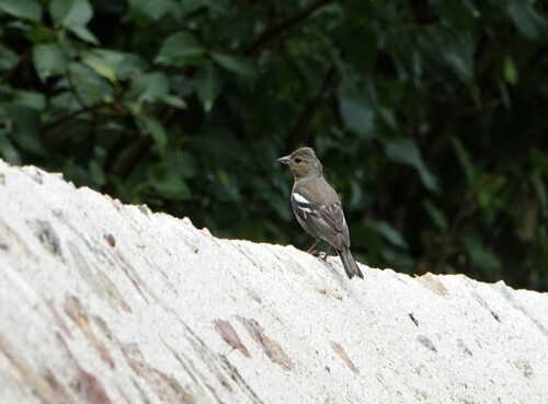
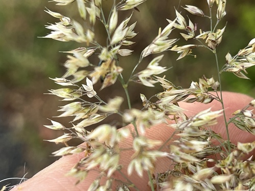
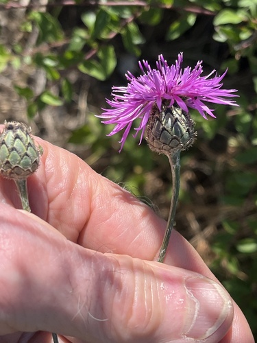
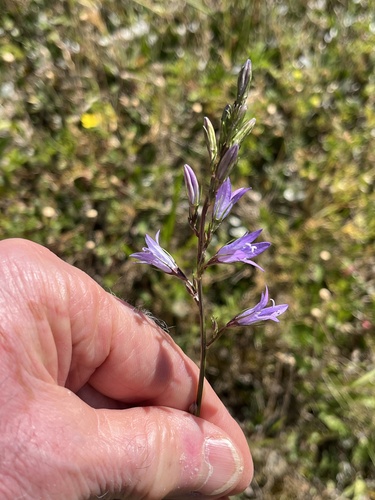
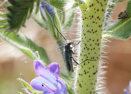
Research-grade observations from iNaturalist (within ~15 mi).
Events
Gallery
Geotagged photos within ~6 miles of Ennezat, from Wikimedia Commons contributors.
_Coll%C3%A9giale_03.JPG)
_2025-03-30.JPG)
_2025-03-30.JPG)
.jpg)
.jpg)
.jpg)
.jpg)
.jpg)
.jpg)
.jpg)
.jpg)
.jpg)
.jpg)
.jpg)
.jpg)
.jpg)
.jpg)
.jpg)
.jpg)
.jpg)
.jpg)
.jpg)
.jpg)
.jpg)
Photos via Wikimedia Commons — see each image page for license & attribution.
Official Identifiers
INSEE — French National Institute of Statistics
- INSEE code
- 63148
- Department
- 63
- Region
- 84
- Population (Wikidata)
- 2,748
geo.api.gouv.fr
Sources
- • Wikipedia
- • Wikimedia Commons
- • Wikidata
- • USGS Earthquake Catalog (global feed)
- • GBIF (Global Biodiversity Information Facility)
- • iNaturalist
- • Open-Meteo / sunrise-sunset.org
- • Wikipedia Pageviews API
- • INSEE — French national statistics, via geo.api.gouv.fr (official commune code, population, surface, department, region)
- • INSEE — French National Institute of Statistics — geo.api.gouv.fr