Browse / France / Grand Est / Épernay
Épernay
Grand Esttown

Épernay
Total population
22,001
Demographic figures from INSEE. Overview below cites Wikipedia and may reference a different year.
City facts
Facts from Wikidata (CC0).
Overview
Épernay is a commune in the Marne department of northern France, 130 km north-east of Paris on the mainline railway to Strasbourg. The town sits on the left bank of the Marne at the extremity of the Cubry valley which crosses it.
Read more on WikipediaHistory & geography
History
Épernay () belonged to the archbishops of Reims from the 5th until the 10th century, when it came into the possession of the counts of Champagne. It was badly damaged during the Hundred Years' War, and was burned by Francis I in 1544. It resisted Henry of Navarre in 1592, and Marshal Biron fell in the attack which preceded its eventual capture. In 1642 it was, along with Château-Thierry, named as a duchy and assigned to the duc de Bouillon. During the French Revolution, Epernay became the capital of the canton and district of Épernay. In 1800, it became the subprefecture of the arrondissement of Épernay. After the fall of the Empire, Épernay entered a period of calm, which allowed it to focus on its organization (in 1837, the town's streets were named and its houses numbered) and its facilities. On 26 December 1846, gas street lighting was installed. The Hôtel de Ville was built as a private residence and completed in 1858. The Meaux-Épernay section of the Paris-Strasbourg railway line was inaugurated on 2 September 1849, by Prince-President Louis-Napoléon Bonaparte. With the Franco-Prussian War 1870/71, the territory was occupied by Prussians troops on 8 September and numerous restrictions were put in place, such as the ban on hunting. The railway line between Épernay and Romilly-sur-Seine was inaugurated. 1 November 1872 marked the end of the occupation. Then the town grew. In 1900, the first power station was built, modernised in 1912 to supply alternating current. By 1934, it was no longer able to meet demand. On 27 July 1903, the town was connected to Montmirail by the C.B.R. railway, then to Ambonnay on 8 April 1904, enabling travel to Reims or Châlons. During the First World War, two-thirds of the town was destroyed. During the retreat from the Marne,…
Excerpted from the corresponding Wikipedia article (CC BY-SA).
Geography
Coordinates & boundaries from the US Census TIGER/Line shapefiles.
Climate
Air quality
Walkability
Amenities nearby
Wildlife & biodiversity
Earthquake history
Photos
Sights & places nearby
Notable people from here


People born within ~10 km, from Wikidata (CC0). Click any name for their Wikipedia article.
Nearby places in Grand Est
- Bétheny17.3 mi away · pop. 7,086
- Fère-Champenoise19.9 mi away · pop. 2,170
- Sarry22.2 mi away · pop. 2,011
- Taizy35.9 mi away · pop. 103
- Hans36.2 mi away · pop. 130
- Saint-Fergeux37.9 mi away · pop. 215
- Sainte-Menehould42.9 mi away · pop. 4,166
- Feuges45.1 mi away · pop. 331
- Saint-Lyé47.1 mi away · pop. 2,870
- Revigny-sur-Ornain49.2 mi away · pop. 2,702
- Brienne-le-Château51.9 mi away · pop. 2,738
- Bettancourt-la-Ferrée53.7 mi away · pop. 1,795
Geography & sun
Elevation, sunrise/sunset and daylight from Open-Meteo. Solar climatology from NASA POWER.
Nearby airports
Public attention
Pageview totals from the Wikimedia Pageviews API.
Books about this place
Recent natural events nearby
Ground air-quality sensors
Recently spotted species
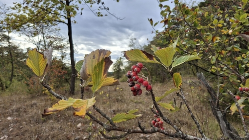
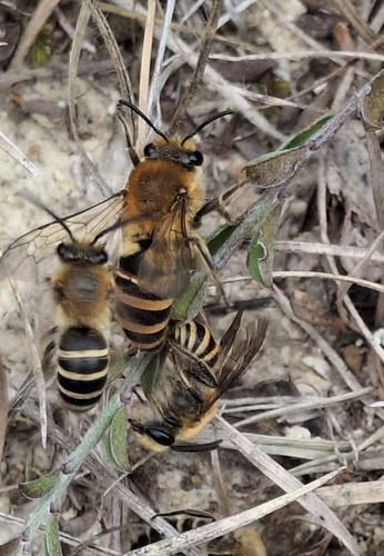
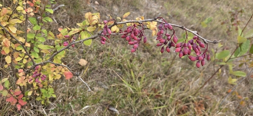
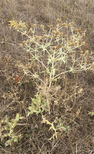
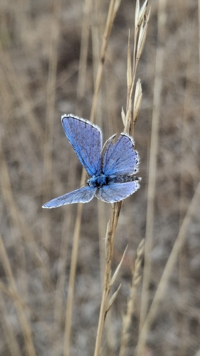
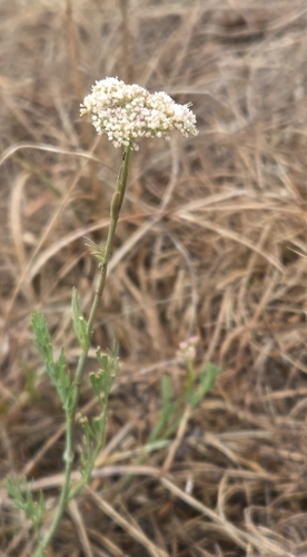
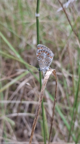

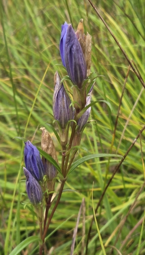
Research-grade observations from iNaturalist (within ~15 mi).
Events
Gallery
Official Identifiers
INSEE — French National Institute of Statistics
- INSEE code
- 51230
- Department
- 51
- Region
- 44
- Population (Wikidata)
- 22,174
geo.api.gouv.fr
Sources
- • Wikipedia
- • Wikidata
- • iNaturalist
- • Open-Meteo / sunrise-sunset.org
- • Wikipedia Pageviews API
- • Wikidata SPARQL (CC0) — population, area, elevation, inception, head of government, Commons image
- • INSEE — French national statistics, via geo.api.gouv.fr (official commune code, population, surface, department, region)
- • INSEE — French National Institute of Statistics — geo.api.gouv.fr