Browse / France / Grand Est / Épinal
Épinal
Grand Esttown

Épinal
Total population
32,285
Demographic figures from INSEE. Overview below cites Wikipedia and may reference a different year.
City facts
Facts from Wikidata (CC0).
Overview
Épinal is a commune in northeastern France and the prefecture of the Vosges department.
Read more on WikipediaHistory & geography
History
The mythical founding date of Épinal is said to be 983 since celebrations took place for the "Millennium" in June 1983. This date was chosen for political reasons to mark a "starting point" following the election of Philippe Séguin as mayor in March 1983. In 1444, the town of Épinal was still part of the domain of the bishops of Metz. In September, representatives of the town took advantage of King Charles VII's passage through Nancy to offer him the submission of the town and to ask for his protection in return. The act of submission of Épinal is dated September 7, 1444. The king promised never to alienate the city; however, Louis XI handed over the town to the Marshal of Burgundy in 1465. Eventually, Épinal came under the guardianship of the Duke of Lorraine. The Hôtel de Ville was completed in 1757. In 1790, the Constituent Assembly requested the departmental assembly of Vosges to choose between Mirecourt and Épinal as the capital of the department. The departmental assembly convened in Épinal on June 1 and, with three hundred and eleven votes against one hundred and twenty-seven, chose the city of Épinal. Mirecourt became a sub-prefecture. During World War II, in January 1944, the Stalag 315 prisoner-of-war camp was relocated from the German-occupied Netherlands to Épinal, and it housed Indian POWs. At least 40 POWs were killed and 80 were wounded after the camp was hit during a bombing of the town on 11 May 1944.
Geography
The commune has a land area of . It is situated on the river Moselle, south of Nancy. Épinal station has rail connections to Paris, Remiremont, Strasbourg, Belfort and Nancy.
Excerpted from the corresponding Wikipedia article (CC BY-SA).
Geography
Coordinates & boundaries from the US Census TIGER/Line shapefiles.
Climate
Air quality
Walkability
Amenities nearby
Wildlife & biodiversity
Earthquake history
Photos
Sights & places nearby
Notable people from here


People born within ~10 km, from Wikidata (CC0). Click any name for their Wikipedia article.
Nearby places in Grand Est
- Hadol5.9 mi away · pop. 2,349
- Charmois-devant-Bruyères6.6 mi away · pop. 380
- Docelles8 mi away · pop. 864
- Méménil8.1 mi away · pop. 168
- Éloyes9.3 mi away · pop. 3,099
- Gugnécourt9.4 mi away · pop. 234
- Nomexy9.6 mi away · pop. 1,951
- Lépanges-sur-Vologne10 mi away · pop. 833
- Nonzeville10.6 mi away · pop. 55
- Laveline-du-Houx12.1 mi away · pop. 202
- Beauménil12.8 mi away · pop. 133
- Laveline-devant-Bruyères14.2 mi away · pop. 576
Geography & sun
Elevation, sunrise/sunset and daylight from Open-Meteo. Solar climatology from NASA POWER.
Nearby airports
Public attention
Pageview totals from the Wikimedia Pageviews API.
Books about Épinal

Search results from Open Library.
Recent natural events nearby
Ground air-quality sensors
Recently spotted species

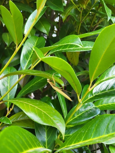
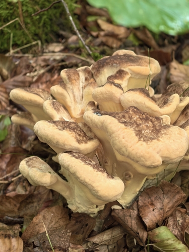
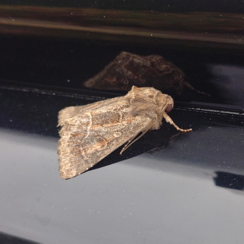
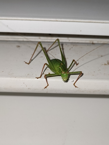
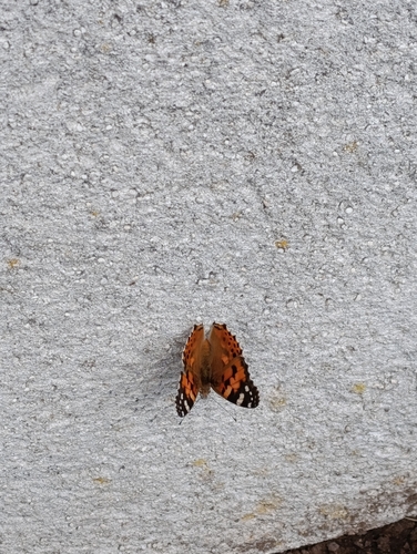
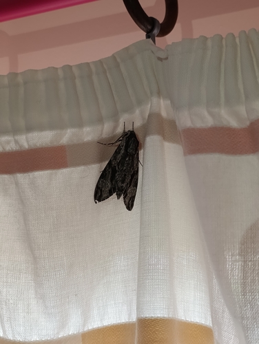

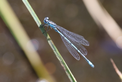
Research-grade observations from iNaturalist (within ~15 mi).
Events
Gallery
Official Identifiers
INSEE — French National Institute of Statistics
- INSEE code
- 88160
- Department
- 88
- Region
- 44
- Population (Wikidata)
- 32,251
geo.api.gouv.fr
Sources
- • Wikipedia
- • Wikidata
- • iNaturalist
- • Open-Meteo / sunrise-sunset.org
- • Wikipedia Pageviews API
- • Open Library
- • Wikidata SPARQL (CC0) — population, area, elevation, inception, head of government, Commons image
- • INSEE — French national statistics, via geo.api.gouv.fr (official commune code, population, surface, department, region)
- • INSEE — French National Institute of Statistics — geo.api.gouv.fr