Browse / France / Auvergne-Rhône-Alpes / Eyzahut
Eyzahut
Auvergne-Rhône-Alpesvillage

Eyzahut
Total population
152
Demographic figures from INSEE. Overview below cites Wikipedia and may reference a different year.
City facts
Facts from Wikidata (CC0).
Overview
Eyzahut is a commune in the Drôme department in the Auvergne-Rhône-Alpes region in southeastern France. It is a rather touristic spot of the area in the summer, thanks to the natural scenery surrounding it and infrastructures built in the 1970s.
Read more on WikipediaHistory & geography
Geography
Coordinates & boundaries from the US Census TIGER/Line shapefiles.
Climate
Air quality
Walkability
Amenities nearby
Wildlife & biodiversity
Most-observed species
- Blue AphyllanthesAphyllanthes monspeliensis L. · Liliopsida623
- Common ChaffinchFringilla coelebs Linnaeus, 1758 · Aves575
- Stinking HelleboreHelleborus foetidus L. · Magnoliopsida575
- Great TitParus major Linnaeus, 1758 · Aves565
- European RobinErithacus rubecula (Linnaeus, 1758) · Aves530
- Eurasian BlackbirdTurdus merula Linnaeus, 1758 · Aves494
- Eurasian BlackcapSylvia atricapilla (Linnaeus, 1758) · Aves422
- Common Wood-PigeonColumba palumbus Linnaeus, 1758 · Aves419
Citizen-science & research observations from the Global Biodiversity Information Facility (GBIF).
Earthquake history
Most recent
- M 4.8 — 2019-11-115 km WNW of Rochemaure, France
- M 4.3 — 2011-08-034 km ESE of Barjac, France
- M 2.8 — 2008-11-252 km N of Malataverne, France
- M 2.5 — 2008-02-251 km ESE of Domène, France
- M 2.6 — 2008-01-247 km S of Le Cheylard, France
- M 2.5 — 2008-01-224 km NW of Cruas, France
Events from the USGS Earthquake Catalog (global) (FDSN Event Web Service).
Photos
Sights & places nearby
Notable people from here


People born within ~10 km, from Wikidata (CC0). Click any name for their Wikipedia article.
Geography & sun
Nearby airports
Public attention
Books about this place
Recent natural events nearby
Ground air-quality sensors
Recently spotted species
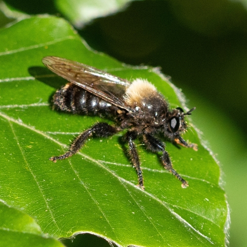
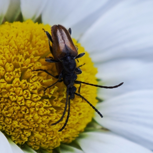
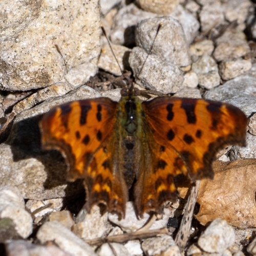
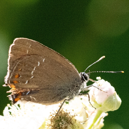
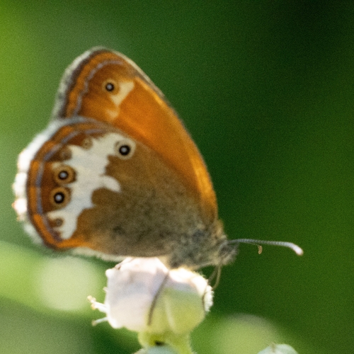
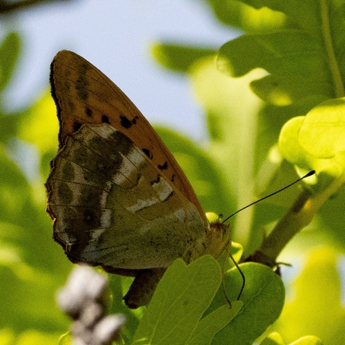
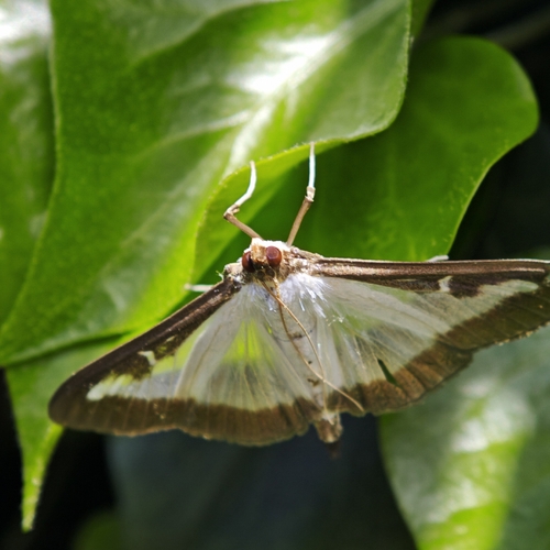
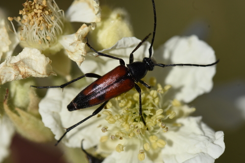
Research-grade observations from iNaturalist (within ~15 mi).
Events
Gallery
Official Identifiers
INSEE — French National Institute of Statistics
- INSEE code
- 26131
- Department
- 26
- Region
- 84
- Population (Wikidata)
- 151
geo.api.gouv.fr
Sources
- • Wikipedia
- • Wikidata
- • USGS Earthquake Catalog (global feed)
- • GBIF (Global Biodiversity Information Facility)
- • iNaturalist
- • INSEE — French national statistics, via geo.api.gouv.fr (official commune code, population, surface, department, region)
- • INSEE — French National Institute of Statistics — geo.api.gouv.fr