Browse / France / Grand Est / Fouchy
Fouchy
Grand Estvillage

Fouchy
Total population
636
Air quality index
Demographic figures from INSEE. Overview below cites Wikipedia and may reference a different year.
City facts
Facts from Wikidata (CC0).
Overview
Fouchy is a commune in the Bas-Rhin department in Alsace in north-eastern France.
Read more on WikipediaHistory & geography
History
The village of Fouchy (Groba) is first documented around 1150, at which time the village was part of the patrimony of the Convent of St Faith in Sélestat. Originally the settlement would have been located in a clearing, supported by a few fields cleared from the surrounding woodlands. Some value would have come to the convent from the economic potential of the woodlands, but the valley had also a considerable strategic importance. Linking Alsace to Lorraine along the route through Villé and Urbeis, the route had commercial significance in that it provided an alternative route for the important trade in salt from nearby deposits in the eastern part of Lorraine. The salt trade otherwise was dependent of the state of Steige Pass, which would have presented challenges during the cold wet weather that is still a frequent feature of the weather in this region. The convent exploited the Fouchy route, charging a toll for merchandise conveyed along it. Until the late Medieval period, the valley, part of a route between Alsace and Lorraine, played an intriguing role as an interface between the two very different worlds of the residual Gallo-Roman heritage on the one hand and the Germanic sphere on the other. This is one reason why lives in the valley have been regularly shaken by crimes and betrayals which have, on occasion, sent their shock waves across Europe. But probably it is only since a little before 1150 that a small group of men came to clear the forest and create a permanent settlement in what, then, they would have called Groba. For the next two hundred years the wealth of Fouchy lands and the surrounding forests offered tempting prizes to local property holders. An example is provided by a legal case which the Convent of St Faith found itself in…
Geography
Located on the left bank of the little River Giessen, Fouchy occupies a site of 787 hectares embraced on one side by the river and faced on its north side by wooded hills culminating in the peaks of the Guichat and Rougerain, respectively 623 meters and 650 meters above sea level. The altitude of the village itself is very varied, but 300 meters is a reasonable average (median) value. The southern part of the village rests on the dividing ridge between the valleys of the Giessen and of the River Liepvrette: this ridge rises from 690 meters in the east to 830 meters at the Schnarupt peak, dominating the hamlet of Hingie in the adjacent commune of Rombach-le-Franc. The ridge is traversed by the 608 meter high Fouchy which connects the two valleys. From outside the village, it is dominated by the spire of the church, and this is the focus from which Fouchy's streets radiate. One route runs to the bottom of the valley, and leads out of the village towards Saint-Dié: scattered farms comprise a few hamlets some of the larger ones being La Combre, Berlicombelle, Noirceux, Rouhu, Schlingoutte, and Schnarupt. To the west, along the departmental road D39, is the village of Urbeis while three kilometers to the east, the same road leads to Villé.
Excerpted from the corresponding Wikipedia article (CC BY-SA).
Geography
Coordinates & boundaries from the US Census TIGER/Line shapefiles.
Climate
Air quality
Current readings from Open-Meteo Air Quality API (Copernicus CAMS European reanalysis).
Walkability
Amenities nearby
Wildlife & biodiversity
Most-observed species
- Eurasian BlackbirdTurdus merula Linnaeus, 1758 · Aves974
- Great TitParus major Linnaeus, 1758 · Aves931
- Common ChaffinchFringilla coelebs Linnaeus, 1758 · Aves911
- Eurasian Blue TitCyanistes caeruleus (Linnaeus, 1758) · Aves769
- White StorkCiconia ciconia (Linnaeus, 1758) · Aves734
- House SparrowPasser domesticus (Linnaeus, 1758) · Aves592
- European RobinErithacus rubecula (Linnaeus, 1758) · Aves589
- Common BuzzardButeo buteo (Linnaeus, 1758) · Aves502
Citizen-science & research observations from the Global Biodiversity Information Facility (GBIF).
Earthquake history
Most recent
- M 3.5 — 2024-06-271 km SSW of Todtmoos, Germany
- M 3.9 — 2022-09-101 km WSW of Zimmersheim, France
- M 4.1 — 2021-06-262 km SE of Hœrdt, France
- M 3.1 — 2018-05-042 km W of Schliengen, Germany
- M 3.6 — 2009-05-052 km NNW of Steinen, Germany
- M 2.7 — 2008-12-251 km NNW of Blodelsheim, France
Events from the USGS Earthquake Catalog (global) (FDSN Event Web Service).
Photos
Sights & places nearby
Notable people from here
Nearby places in Grand Est
- Lalaye0.2 mi away · pop. 487
- Breitenau1.1 mi away · pop. 335
- Saint-Martin1.8 mi away · pop. 367
- Neuve-Église2.1 mi away · pop. 622
- Breitenbach2.8 mi away · pop. 663
- Dieffenbach-au-Val2.8 mi away · pop. 641
- Albé3 mi away · pop. 461
- Saint-Maurice3.1 mi away · pop. 329
- Thanvillé3.7 mi away · pop. 609
- Saint-Pierre-Bois4.2 mi away · pop. 748
- Le Hohwald5.8 mi away · pop. 501
- Waldersbach6.4 mi away · pop. 123
Geography & sun
Elevation, sunrise/sunset and daylight from Open-Meteo. Solar climatology from NASA POWER.
Nearby airports
Public attention
Pageview totals from the Wikimedia Pageviews API.
Books about Fouchy

Search results from Open Library.
Recent natural events nearby
Ground air-quality sensors
Recently spotted species
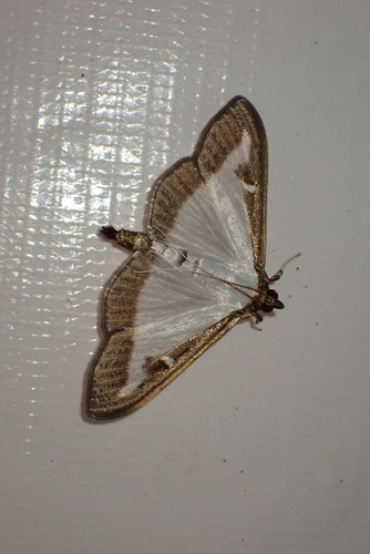
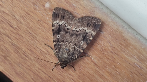

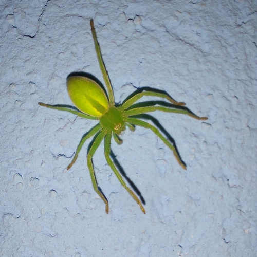
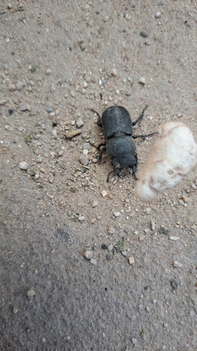
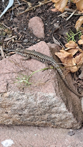
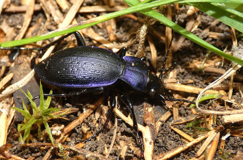
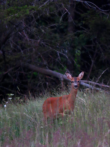
Research-grade observations from iNaturalist (within ~15 mi).
Events
Gallery
Geotagged photos within ~6 miles of Fouchy, from Wikimedia Commons contributors.
 0.2 mi
.jpg) 0.6 mi
0.6 mi 0.8 mi
 1.1 mi
 1.1 mi
 1.1 mi
 1.6 mi
 1.6 mi
 1.6 mi
 1.6 mi
 1.6 mi
.JPG) 1.6 mi
1.6 mi 1.6 mi
.JPG) 1.6 mi
1.6 mi 1.7 mi
 1.7 mi
 1.7 mi
 1.7 mi
 1.7 mi
 1.7 mi
 1.7 mi
 1.7 mi
 1.7 mi
 1.7 mi
Photos via Wikimedia Commons — see each image page for license & attribution.
Official Identifiers
INSEE — French National Institute of Statistics
- INSEE code
- 67143
- Department
- 67
- Region
- 44
- Population (Wikidata)
- 635
geo.api.gouv.fr
Sources
- • Wikipedia
- • Wikimedia Commons
- • Wikidata
- • Open-Meteo Air Quality (CAMS)
- • USGS Earthquake Catalog (global feed)
- • GBIF (Global Biodiversity Information Facility)
- • iNaturalist
- • Open-Meteo / sunrise-sunset.org
- • Wikipedia Pageviews API
- • Open Library
- • INSEE — French national statistics, via geo.api.gouv.fr (official commune code, population, surface, department, region)
- • INSEE — French National Institute of Statistics — geo.api.gouv.fr