Browse / France / Bretagne / Fougères
Fougères
Bretagnetown

Fougères
Total population
20,653
Demographic figures from INSEE. Overview below cites Wikipedia and may reference a different year.
City facts
Sister cities
Facts from Wikidata (CC0).
Overview
Fougères is a commune and a sub-prefecture of the Ille-et-Vilaine department, located in Brittany, northwestern France. As of 2023, Fougères had 20,307 inhabitants. The Fougères area comprises approximately 88,000 inhabitants and is currently growing, unlike the town centre.
Read more on WikipediaHistory & geography
History
Fougères is a town on the edge of Brittany, Maine and Normandy and is named after the french term for a fern (see also fougère), or from fous which means fossé ("gap"). The town of Fougères is mentioned in the chorus of the song La Blanche Hermine by Gilles Servat. The author uses it as a symbol of the Breton resistance where it is adjacent to the town of Clisson in the Loire-Atlantique. Fougères is historically, since the arrival of Latin in Armorica, a region where Gallo is spoken. In Gallo, Fougères translates to Foujerr while its Breton name is Felger. Entry signs to the agglomeration have carried the Breton name for several years. One of the two bagad of the city takes this name: and the Diwan school, opened in 2013, is also called Skol Diwan bro Felger. The presence of many megalithic monuments, particularly in the , suggests that the area was already inhabited in the Neolithic era (5000 to 2000 years BC). The creation of Fougères dates back to the Middle Ages. The Château de Fougères was first mentioned around the end of the 10th century. At the time, it was a simple wooden fortification located on a rocky ridge, whose position favourably dominated the Valley and the surrounding marshes. Fougères was at the crossing of two Roman roads, one from Chartres to Carhaix and the other from Avranches to Nantes. From the 12th century, the population moved away from the shore of the Nançon and the city grew in size, divided into two parishes: Saint-Sulpice for the lower town and Saint-Léonard for the upper town. Since the Middle Ages, crafts developed around tannery, weavers and drapers in the lower town. Built in the 11th century by the lords of Fougères, the first fortification, defended by Raoul II (1130–1194), was taken by Henry II of England in 1166 and…
Geography
Fougères is situated in the Cadomian chain. The oldest buildings use readily available stone: la cornéenne. A metamorphic rock, difficult to cut and of very different appearance, it is very solid. Later came the use of Louvigné granite, which is more homogeneous. Most of the buildings of the town are built with these local materials. It took the arrival of the railway to import other stones (late 19th century). In military strategy, note that the castle is not on high, but on a deposit of la cornéenne, which prevents the risk of attacks by mining and from underground. Fougères is situated: * from Paris * from Rennes * from Mont-Saint-Michel * from Saint-Malo * from Brest * from Nantes * from Caen * from Angers * from Laval * from Avranches * from Alençon
Excerpted from the corresponding Wikipedia article (CC BY-SA).
Geography
Coordinates & boundaries from the US Census TIGER/Line shapefiles.
Climate
10-year averages from ERA5 reanalysis (Open-Meteo).
Air quality
Walkability
Amenities nearby
Wildlife & biodiversity
Most-observed species
- Common ChaffinchFringilla coelebs Linnaeus, 1758 · Aves1,549
- House SparrowPasser domesticus (Linnaeus, 1758) · Aves1,100
- Eurasian Blue TitCyanistes caeruleus (Linnaeus, 1758) · Aves853
- Great TitParus major Linnaeus, 1758 · Aves723
- European RobinErithacus rubecula (Linnaeus, 1758) · Aves489
- European GreenfinchChloris chloris (Linnaeus, 1758) · Aves477
- Common Wood-PigeonColumba palumbus Linnaeus, 1758 · Aves274
- Eurasian BlackbirdTurdus merula Linnaeus, 1758 · Aves264
Citizen-science & research observations from the Global Biodiversity Information Facility (GBIF).
Earthquake history
Most recent
- M 3.6 — 2017-09-281 km WNW of Tresbœuf, France
- M 2.5 — 2008-09-192 km NNE of Montigné-le-Brillant, France
- M 2.6 — 2008-08-283 km E of Mauron, France
- M 2.6 — 2008-05-255 km ESE of Saffré, France
- M 2.7 — 2008-01-312 km SE of Saint-Berthevin, France
- M 2.9 — 2007-12-182 km NE of Saint-Marc-le-Blanc, France
Events from the USGS Earthquake Catalog (global) (FDSN Event Web Service).
Photos
Sights & places nearby
Notable people from here


People born within ~10 km, from Wikidata (CC0). Click any name for their Wikipedia article.
Nearby places in Bretagne
- La Chapelle-Janson4.4 mi away · pop. 2,409
- Saint-Germain-en-Coglès4.9 mi away · pop. 2,086
- Parigné5.4 mi away · pop. 1,315
- Parcé5.4 mi away · pop. 647
- Combourtillé5.9 mi away · pop. 613
- Le Loroux6.8 mi away · pop. 626
- Saint-Étienne-en-Coglès7 mi away
- Montreuil-des-Landes7.2 mi away · pop. 234
- La Bazouge-du-Désert7.7 mi away · pop. 1,065
- Villamée7.7 mi away · pop. 294
- Saint-Marc-sur-Couesnon8.4 mi away · pop. 517
- Poilley8.5 mi away · pop. 367
Geography & sun
Elevation, sunrise/sunset and daylight from Open-Meteo. Solar climatology from NASA POWER.
Nearby airports
Public attention
Pageview totals from the Wikimedia Pageviews API.
Books about Fougères


Search results from Open Library.
Recent natural events nearby
Ground air-quality sensors
Recently spotted species
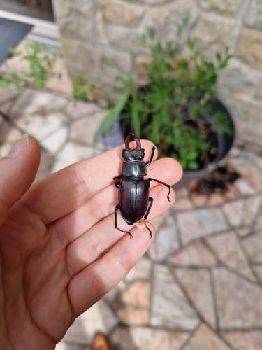
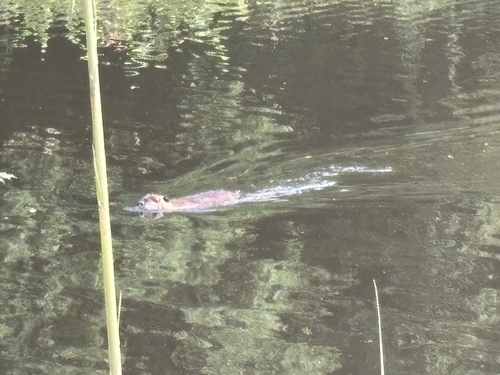
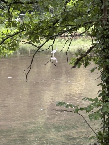
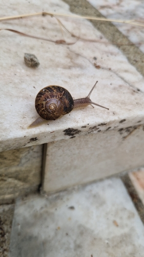
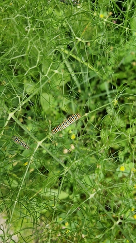
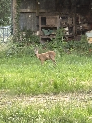
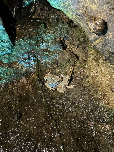
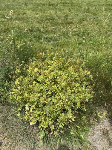
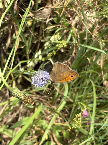
Research-grade observations from iNaturalist (within ~15 mi).
Events
Gallery
Geotagged photos within ~6 miles of Fougères, from Wikimedia Commons contributors.
 0 mi
0 mi 0 mi
0 mi 0 mi
0 mi 0 mi
0 mi 0 mi
0 mi 0 mi
0 mi 0 mi
0 mi 0 mi
0 mi 0 mi
0 mi 0 mi
0 mi 0.1 mi
 0.1 mi
 0.1 mi
 0.1 mi
 0.1 mi
 0.1 mi
 0.1 mi
 0.1 mi
 0.1 mi
 0.1 mi
_%C3%89glise_de_Bonabry_14.jpg) 0.2 mi
0.2 mi_%C3%89glise_de_Bonabry_13.jpg) 0.2 mi
0.2 mi_%C3%89glise_de_Bonabry_15.jpg) 0.2 mi
0.2 mi_%C3%89glise_de_Bonabry_16.jpg) 0.2 mi
0.2 miPhotos via Wikimedia Commons — see each image page for license & attribution.
Official Identifiers
INSEE — French National Institute of Statistics
- INSEE code
- 35115
- Department
- 35
- Region
- 53
- Population (Wikidata)
- 20,307
geo.api.gouv.fr
Sources
- • Wikipedia
- • Open-Meteo (ERA5 reanalysis)
- • Wikimedia Commons
- • Wikidata
- • USGS Earthquake Catalog (global feed)
- • GBIF (Global Biodiversity Information Facility)
- • iNaturalist
- • Open-Meteo / sunrise-sunset.org
- • Wikipedia Pageviews API
- • Open Library
- • Wikidata SPARQL (CC0) — population, area, elevation, inception, head of government, Commons image
- • INSEE — French national statistics, via geo.api.gouv.fr (official commune code, population, surface, department, region)
- • INSEE — French National Institute of Statistics — geo.api.gouv.fr