Browse / France / Provence-Alpes-Côte d'Azur / Fréjus
Fréjus
Provence-Alpes-Côte d'Azurtown

Fréjus
Total population
57,082
Demographic figures from INSEE. Overview below cites Wikipedia and may reference a different year.
City facts
Sister cities
- Paola
- Dumbéa
- Tabarka
- Fredericksburg
- Bazeilles
- Pieve di Teco
- Triberg im Schwarzwald
Facts from Wikidata (CC0).
Overview
Fréjus is a commune and resort town in the Var department in the Provence-Alpes-Côte d'Azur region in Southeastern France.
Read more on WikipediaHistory & geography
History
The origins of Frejus probably lie with the Celto-Ligurian people who settled around the natural harbour of Aegytna. The remains of a defensive wall are still visible on Mont Auriasque and Cap Capelin. The Phocaeans of Marseille later established an outpost on the site. Frejus was strategically situated at an important crossroads formed by the Via Julia Augusta, which ran between Italy and the Rhône, and the Via Domitia. Tacitus called its port claustra maris, gateway to the sea. It is thought that the poet Cornelius Gallus was born there in 67 BC, though there are few traces of a settlement at that time. Julius Caesar, wanting to counter the regional power of Massalia (present-day Marseille), which had sided with Pompeius against him in the civil war, refounded the city as Forum Julii, 'the forum of Julius', as a base of support in the region. The date is unclear but must be before 43 BC, when it appears in the correspondence between Plancus and Cicero. 49 BC is most likely. It was at Forum Julii that Octavius repatriated the galleys taken from Mark Antony at the Battle of Actium in 31 BC. Between 29 and 27 BC, it became a colony for his veterans of the 8th legion, adding the suffix Octavanorum Colonia. Augustus made the city the capital of the new province of Narbonensis in 22 BC, spurring rapid development and becoming one of the most important ports in the Mediterranean. The port served as the only naval base for the Roman fleet of Gaul and remained operative until the reign of Claudius. It was also only the second port after Ostia until at least the time of Nero. Subsequently during the rule of Tiberius, the major monuments and amenities still visible today were constructed: the amphitheatre, the aqueduct, the lighthouse, the baths, and the theatre. Forum…
Geography
As a backdrop there is the Massif de l'Esterel.
Excerpted from the corresponding Wikipedia article (CC BY-SA).
Geography
Coordinates & boundaries from the US Census TIGER/Line shapefiles.
Climate
Air quality
Walkability
Amenities nearby
Wildlife & biodiversity
Earthquake history
Photos
Sights & places nearby
Notable people from here


People born within ~10 km, from Wikidata (CC0). Click any name for their Wikipedia article.
Nearby places in Provence-Alpes-Côte d'Azur
- La Bouverie6.6 mi away
- Les Adrets-de-l'Estérel7.5 mi away · pop. 2,793
- Chataigne8 mi away
- Lotissement "Les Hameaux du Golf"8.4 mi away
- Franc8.4 mi away
- Les Esterets du Lac8.5 mi away
- Domaine du Quilladou9.3 mi away
- Gauthier-Haut9.6 mi away
- Hameau des Peyrouas9.6 mi away
- Théoule-sur-Mer11.4 mi away · pop. 1,362
- Le Colombier13.2 mi away
- Val de Tignet14.6 mi away
Geography & sun
Elevation, sunrise/sunset and daylight from Open-Meteo. Solar climatology from NASA POWER.
Nearby airports
Public attention
Pageview totals from the Wikimedia Pageviews API.
Books about this place
Recent natural events nearby
Ground air-quality sensors
Recently spotted species
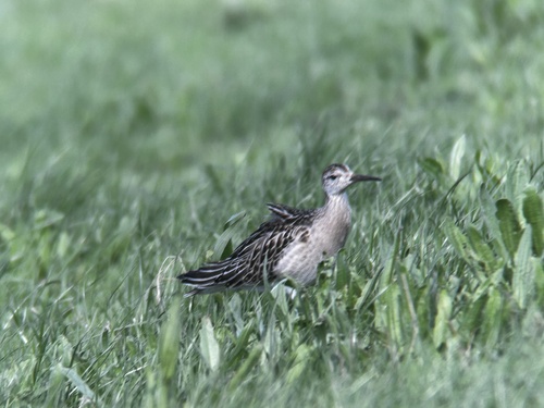
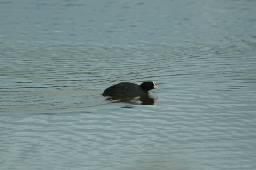
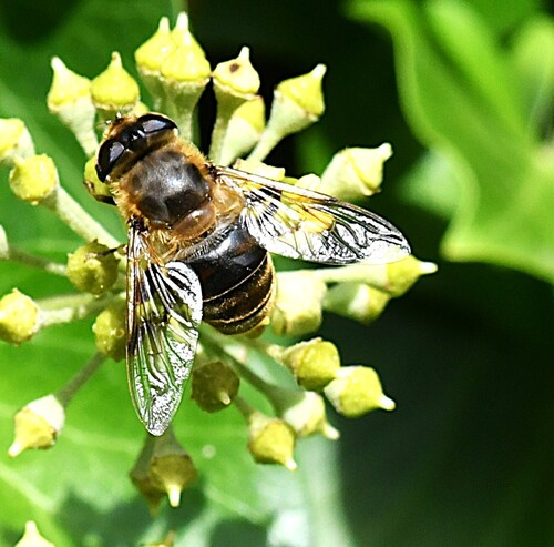
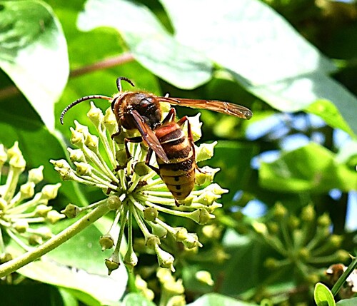
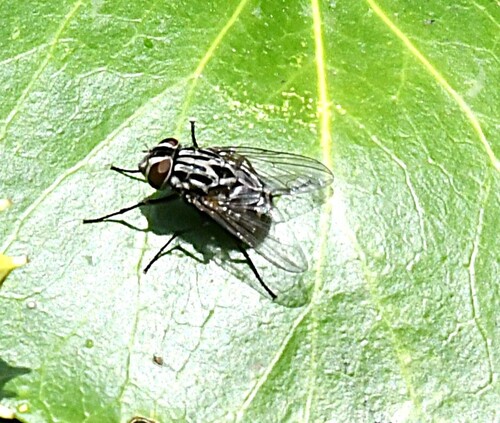
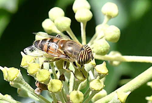
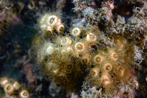
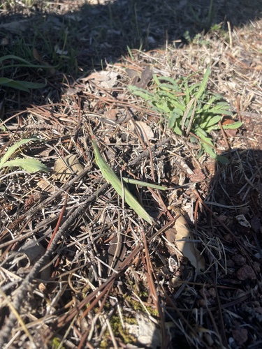
Research-grade observations from iNaturalist (within ~15 mi).
Events
Gallery
Official Identifiers
INSEE — French National Institute of Statistics
- INSEE code
- 83061
- Department
- 83
- Region
- 93
- Population (Wikidata)
- 59,719
geo.api.gouv.fr
Sources
- • Wikipedia
- • Wikidata
- • iNaturalist
- • Open-Meteo / sunrise-sunset.org
- • Wikipedia Pageviews API
- • Wikidata SPARQL (CC0) — population, area, elevation, inception, head of government, Commons image
- • INSEE — French national statistics, via geo.api.gouv.fr (official commune code, population, surface, department, region)
- • INSEE — French National Institute of Statistics — geo.api.gouv.fr