Browse / France / Occitanie / Frontignan
Frontignan
Occitanietown

Frontignan
Total population
23,808
Air quality index
Demographic figures from INSEE. Overview below cites Wikipedia and may reference a different year.
City facts
Sister cities
Facts from Wikidata (CC0).
Overview
Frontignan is a commune in the Hérault department in southern France.
Read more on WikipediaHistory & geography
History
* 1362 foundation of the fortress * 1560 ransacked by the Protestants * 16 June 1642: King Louis XIII and Cardinal Richelieu meet in Frontignan. * 1787: Thomas Jefferson, future president of the United States, stays in Frontignan and reportedly enjoys the local Muscat de Frontignan wine. * 1896: The Hôtel de Ville was completed. * 28 June 1940: The car driven by Paul Reynaud hits a tree at La Peyrade, killing his mistress Helene de Portes. Reynaud is hospitalized, arrested on discharge, and imprisoned for the duration of the war. * 25 June 1944: The Frontignan oil refineries and parts of the city (including the rail station) are bombed by the 15th USAAF causing some 40 civilian deaths. * 12 August 1944: Battery Frontignan is attacked by the 465th BG in preparation of the invasion of Southern France on 15 August 1944. * 31 December 2002: Frontignan together with the neighboring towns of Sète, Balaruc-les-Bains, Balaruc-le-Vieux, Vic-la-Gardiole, Mireval, Gigean and Marseillan joins the Communauté d'agglomération du Bassin de Thau (since 2017: Sète Agglopôle Méditerranée).
Geography
Frontignan is located in the Languedoc coastal plain between the towns of Sète and Montpellier. The town is surrounded by the Gardiole hills to the north, the Ingril lagoon in the east, the Étang de Thau to the west and the Mediterranean shore (including the beach resort Frontignan-Plage) to the south. The Rhône-Sète canal separates the inland town centre and Frontignan-Plage. Frontignan station has rail connections (TER Occitanie) to Narbonne, Montpellier and Avignon.
Excerpted from the corresponding Wikipedia article (CC BY-SA).
Geography
Coordinates & boundaries from the US Census TIGER/Line shapefiles.
Climate
Air quality
Current readings from Open-Meteo Air Quality API (Copernicus CAMS European reanalysis).
Walkability
Amenities nearby
Wildlife & biodiversity
Most-observed species
- Purple SpurgeEuphorbia peplis L. · Magnoliopsida23,360
- Yellow-legged GullLarus michahellis J.F.Naumann, 1840 · Aves7,848
- European StarlingSturnus vulgaris Linnaeus, 1758 · Aves7,328
- House SparrowPasser domesticus (Linnaeus, 1758) · Aves5,756
- Eurasian MagpiePica pica (Linnaeus, 1758) · Aves5,221
- Greater FlamingoPhoenicopterus roseus Pallas, 1811 · Aves5,133
- Eurasian Collared-DoveStreptopelia decaocto (Frivaldszky, 1838) · Aves4,818
- Black-headed GullChroicocephalus ridibundus (Linnaeus, 1766) · Aves4,659
Citizen-science & research observations from the Global Biodiversity Information Facility (GBIF).
Earthquake history
Most recent
- M 2.6 — 2008-11-261 km WSW of Creissan, France
- M 2.6 — 2008-04-1564 km SSW of Port-Saint-Louis-du-Rhône, France
- M 2.5 — 2007-09-029 km ESE of Gruissan, France
- M 2.6 — 2007-08-031 km NE of Jonquières-Saint-Vincent, France
- M 2.5 — 2007-01-2016 km NW of Port-Saint-Louis-du-Rhône, France
- M 2.7 — 2006-12-2215 km E of Saintes-Maries-de-la-Mer, France
Events from the USGS Earthquake Catalog (global) (FDSN Event Web Service).
Photos
Sights & places nearby
Notable people from here


People born within ~10 km, from Wikidata (CC0). Click any name for their Wikipedia article.
Nearby places in Occitanie
- Vic-la-Gardiole3.4 mi away · pop. 3,416
- Gigean4.2 mi away · pop. 6,565
- Poussan5 mi away · pop. 6,283
- Fabrègues7.1 mi away · pop. 7,197
- Villeneuve-lès-Maguelone8 mi away · pop. 10,405
- Saussan8.6 mi away · pop. 1,783
- Palavas-les-Flots10.5 mi away · pop. 5,881
- Saint-Georges-d'Orques11.2 mi away · pop. 5,600
- Pinet12.7 mi away · pop. 2,004
- Saint-Paul-et-Valmalle12.9 mi away · pop. 1,342
- Plaissan13.7 mi away · pop. 1,545
- Bélarga15.1 mi away · pop. 668
Geography & sun
Elevation, sunrise/sunset and daylight from Open-Meteo. Solar climatology from NASA POWER.
Nearby airports
Public attention
Pageview totals from the Wikimedia Pageviews API.
Books about this place
Recent natural events nearby
Ground air-quality sensors
Recently spotted species
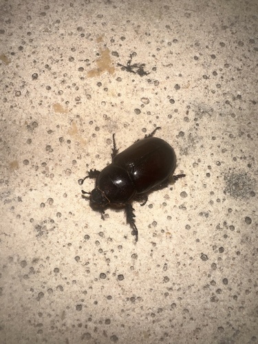
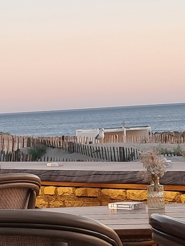
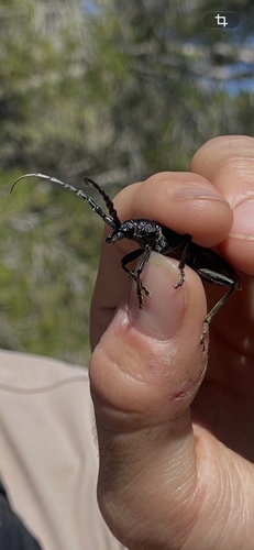
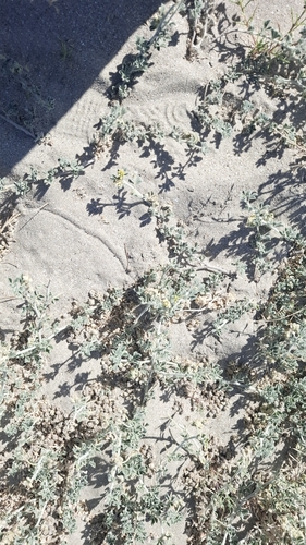
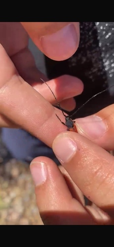
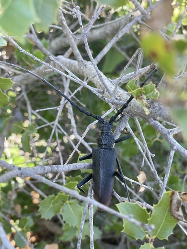
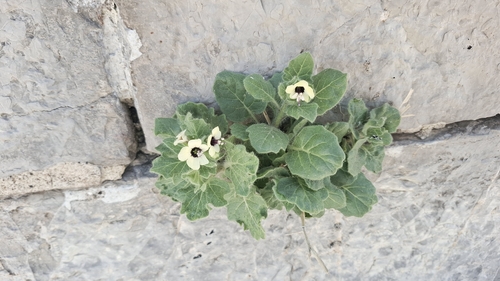
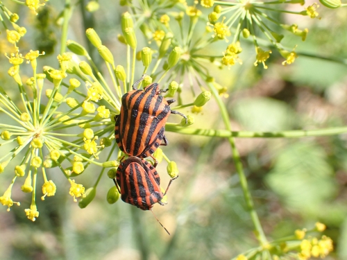
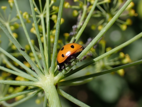
Research-grade observations from iNaturalist (within ~15 mi).
Events
Gallery
Geotagged photos within ~6 miles of Frontignan, from Wikimedia Commons contributors.
 0 mi
0 mi 0.1 mi
 0.1 mi
 0.1 mi
 0.1 mi
 0.1 mi
 0.1 mi
 0.1 mi
 0.1 mi
.jpeg) 0.1 mi
0.1 mi.jpeg) 0.1 mi
0.1 mi 0.2 mi
 0.2 mi
 0.2 mi
 0.2 mi
 0.2 mi
 0.2 mi
 0.2 mi
 0.2 mi
 0.2 mi
 0.2 mi
 0.2 mi
 0.2 mi
 0.2 mi
Photos via Wikimedia Commons — see each image page for license & attribution.
Official Identifiers
INSEE — French National Institute of Statistics
- INSEE code
- 34108
- Department
- 34
- Region
- 76
- Population (Wikidata)
- 24,136
geo.api.gouv.fr
Sources
- • Wikipedia
- • Wikimedia Commons
- • Wikidata
- • Open-Meteo Air Quality (CAMS)
- • USGS Earthquake Catalog (global feed)
- • GBIF (Global Biodiversity Information Facility)
- • iNaturalist
- • Open-Meteo / sunrise-sunset.org
- • Wikipedia Pageviews API
- • Wikidata SPARQL (CC0) — population, area, elevation, inception, head of government, Commons image
- • INSEE — French national statistics, via geo.api.gouv.fr (official commune code, population, surface, department, region)
- • INSEE — French National Institute of Statistics — geo.api.gouv.fr