Browse / France / Grand Est / Gœrsdorf
Gœrsdorf
Grand Estvillage

Featured view
Gœrsdorf
Total population
1,054
Founded
1973
Elevation164 m
Land area13.14 km²
Coordinates48.95°, 7.76°
Demographic figures from INSEE. Overview below cites Wikipedia and may reference a different year.
Loading additional data from public sources…0 / 11
CensusWikipediaWeatherPlacesPeopleEnvironmentHealth & SchoolsRelatedGeography & CultureLive MonitoringEvents & Gallery
0% completeCity facts
Founded
1973
Elevation
164 m
Area
13.14 km²
Facts from Wikidata (CC0).
Overview
Gœrsdorf is a commune in the Bas-Rhin department in Grand Est in north-eastern France. The commune merged with Mitschdorf at the start of 1973.
Read more on WikipediaHistory & geography
Geography
Latitude
48.9535
Longitude
7.7649
Water area
—
Coordinates & boundaries from the US Census TIGER/Line shapefiles.
Climate
Air quality
Walkability
Amenities nearby
Wildlife & biodiversity
Earthquake history
Photos
Sights & places nearby
Notable people from here

Charles Roos
French politician (1878-1940)

Franz Ludwig Fleck
Bishop of Metz (1824-1899)

Suzanne de Dietrich
French theologian (1891–1981)

Joseph Achille Le Bel
French chemist (1847-1930)

Ernst Münch
French musician (1859-1928)

Alphonse-Marie Eppinger
German religious (1814-1867)

Hans Haug
French curator and historian (1890-1965)

Eugen von Dietrich
French politician (1844-1918)
L
Ludwig Gabriel Remy
Austrian architect
V
Valentin Stang
German veterinarian (1876–1944)
A
Albert Derichsweiler
German politician (1909–1997)

Adrien de Turckheim
French industrialist (1866–1948)
A
Albert de Dietrich
1831-
C
Charles Strauss
French lawyer (1834-1905)

Charles Émile Altorffer
French politician (1881-1960)
D
Dominique de Dietrich
French businessperson (1892-1963)
People born within ~10 km, from Wikidata (CC0). Click any name for their Wikipedia article.
Nearby places in Grand Est
- Wœrth1.4 mi away · pop. 1,696
- Dieffenbach-lès-Wœrth1.5 mi away · pop. 347
- Langensoultzbach1.7 mi away · pop. 911
- Oberdorf-Spachbach2 mi away · pop. 411
- Lampertsloch2.4 mi away · pop. 702
- Gunstett2.7 mi away · pop. 625
- Merkwiller-Pechelbronn2.9 mi away · pop. 925
- Lembach3.6 mi away · pop. 1,531
- Durrenbach3.9 mi away · pop. 1,106
- Memmelshoffen4.7 mi away · pop. 324
- Windstein4.7 mi away · pop. 168
- Surbourg4.9 mi away · pop. 1,717
Geography & sun
Avg solar (kWh/m²/day)
3.28
Annual solar (kWh/m²)
1,197
Elevation, sunrise/sunset and daylight from Open-Meteo. Solar climatology from NASA POWER.
Nearby airports
Public attention
Wikipedia views (last 30 days)
51
Avg daily Wikipedia views
2
Attention level
Obscure
Pageview totals from the Wikimedia Pageviews API.
Books about this place
Recent natural events nearby
Ground air-quality sensors
Recently spotted species
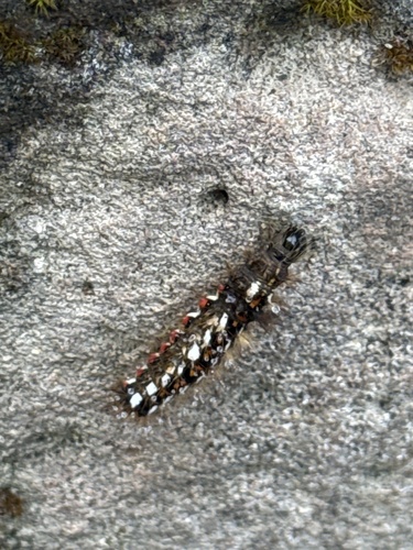
Knot Grass Moth
Acronicta rumicis
Seen 2026-10-14
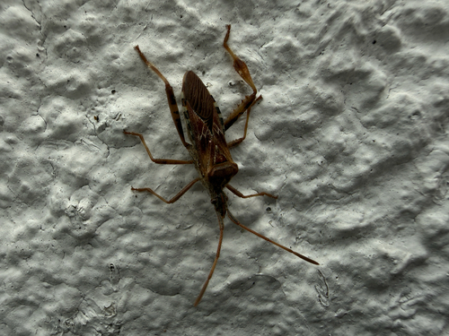
Western Conifer Seed Bug
Leptoglossus occidentalis
Seen 2026-10-13
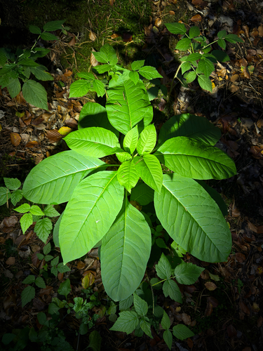
American pokeweed
Phytolacca americana
Seen 2026-10-12
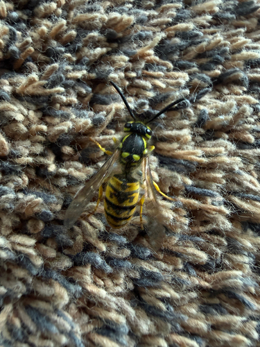
German Yellowjacket
Vespula germanica
Seen 2026-10-12
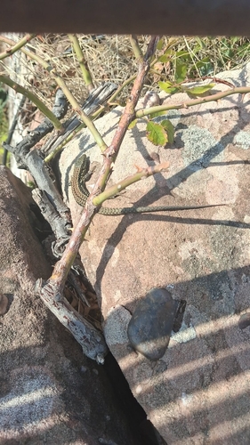
Common Wall Lizard
Podarcis muralis
Seen 2026-10-07
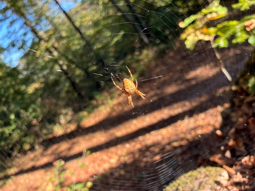
Cross Orbweaver
Araneus diadematus
Seen 2026-10-06
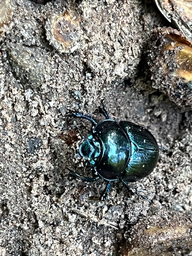
Woodland Dor Beetle
Anoplotrupes stercorosus
Seen 2026-10-04
Research-grade observations from iNaturalist (within ~15 mi).
Events
Gallery
Official Identifiers
INSEE — French National Institute of Statistics
- INSEE code
- 67160
- Department
- 67
- Region
- 44
- Population (Wikidata)
- 1,039
geo.api.gouv.fr
Sources
- • Wikipedia
- • Wikidata
- • iNaturalist
- • Open-Meteo / sunrise-sunset.org
- • Wikipedia Pageviews API
- • INSEE — French national statistics, via geo.api.gouv.fr (official commune code, population, surface, department, region)
- • INSEE — French National Institute of Statistics — geo.api.gouv.fr