Browse / France / Provence-Alpes-Côte d'Azur / Ganagobie
Ganagobie
Provence-Alpes-Côte d'Azurvillage

Ganagobie
Total population
91
Demographic figures from INSEE. Overview below cites Wikipedia and may reference a different year.
City facts
Facts from Wikidata (CC0).
Overview
Ganagobie is a commune in the Alpes-de-Haute-Provence department in southeastern France.
Read more on WikipediaHistory & geography
History
The commune has been inhabited since prehistory: the north end of the plateau was home to a prehistoric village. It was fortified by a rampart 120 meters high, and therefore an oppidum. This oppidum, called "de Villevieille" (old city) from the name of the village that succeeded it, belonged to the Sogiontii. In antiquity, Ganagobie was inhabited by Sogiontii, whose territory stretched from the south of the Baronnies to the Durance. They were allied with the Vocontii, and after the Roman conquest, were included with them in the Roman province of Gallia Narbonensis. In the second century, they separated from the Vocontii and formed a distinct civitas with a capital they called Segustero, now called Sisteron. Southeast Gaul belonged to Burgundy, but in 510 the king of the Ostrogoths, Theodoric the Great, conquered the region between the Durance, the Rhône and the Isère. The commune was briefly again part of Italy, until 526. To reconcile with Godomar the king of Burgundy, the Ostrogoth regent Amalasuntha returned this territory to him. At this time two farms were installed on the plateau, one on the north and the other on the site of the priory. The priory was founded at the end of the 10th century. In 1491, the Abbey of Cluny laid siege to the priory to take back control of it. Fighting over it continued until the French Revolution. Like many communes in the département, Ganagobie had a school well before the Jules Ferry laws: in 1863, it already had one that provided primary education to boys. No instruction was provided to girls despite the Falloux Laws of 1851, which mandated schools for girls in municipalities of more 800 inhabitants. Neither it nor the first of 1867, which lowered the threshold to 500, applied to Ganagobie. Not until the Ferry laws did the…
Excerpted from the corresponding Wikipedia article (CC BY-SA).
Geography
Coordinates & boundaries from the US Census TIGER/Line shapefiles.
Climate
Air quality
Walkability
Amenities nearby
Wildlife & biodiversity
Earthquake history
Photos
Sights & places nearby
Notable people from here


People born within ~10 km, from Wikidata (CC0). Click any name for their Wikipedia article.
Geography & sun
Nearby airports
Public attention
Books about this place
Recent natural events nearby
Ground air-quality sensors
Recently spotted species
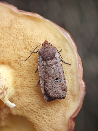


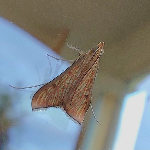





Research-grade observations from iNaturalist (within ~15 mi).
Events
Gallery
Official Identifiers
INSEE — French National Institute of Statistics
- INSEE code
- 04091
- Department
- 04
- Region
- 93
- Population (Wikidata)
- 89
geo.api.gouv.fr
Sources
- • Wikipedia
- • Wikidata
- • iNaturalist
- • INSEE — French national statistics, via geo.api.gouv.fr (official commune code, population, surface, department, region)
- • INSEE — French National Institute of Statistics — geo.api.gouv.fr