Browse / France / Provence-Alpes-Côte d'Azur / Gardanne
Gardanne
Provence-Alpes-Côte d'Azurtown

Gardanne
Total population
21,174
Demographic figures from INSEE. Overview below cites Wikipedia and may reference a different year.
City facts
Facts from Wikidata (CC0).
Overview
Gardanne is a commune in the Bouches-du-Rhône department in southern France. Its inhabitants are called Gardannais.
Read more on WikipediaHistory & geography
History
The history of Gardanne dates back to 4000 BC, with the discovery of a Neolithic site in 2003. Walls dating back to the first century AD have also been found. Throughout the Middle Ages the town was enclosed within ramparts and the lordship of Gardanne belonged to different noble families. From the 13th century, the inhabitants claimed franchises and freedoms through their municipal magistrates. In 1454 René d'Anjou bought the estate and would go there until 1480.
Geography
Situated close to Aix-en-Provence and Marseille and on the rail link connecting the two cities, Gardanne is bordered by the Massif du Montaiguet. The terrain is moderately elevated, with some areas reaching over 200 meters (656 feet) above sea level. The surrounding countryside includes forests, vineyards, and former mining sites from the town's historical coal-mining industry. The Arc River flows nearby, contributing to the region's drainage and agricultural viability. Following devastating bush fires in 1979 and 2005, garrigue now covers a wide area of the region.
Excerpted from the corresponding Wikipedia article (CC BY-SA).
Geography
Coordinates & boundaries from the US Census TIGER/Line shapefiles.
Climate
Air quality
Walkability
Amenities nearby
Wildlife & biodiversity
Most-observed species
- Grey-leaved CistusCistus albidus L. · Magnoliopsida1,667
- Eurasian MagpiePica pica (Linnaeus, 1758) · Aves1,653
- Great TitParus major Linnaeus, 1758 · Aves1,615
- Blue AphyllanthesAphyllanthes monspeliensis L. · Liliopsida1,502
- European RobinErithacus rubecula (Linnaeus, 1758) · Aves1,459
- Eurasian Blue TitCyanistes caeruleus (Linnaeus, 1758) · Aves1,304
- Eurasian Collared-DoveStreptopelia decaocto (Frivaldszky, 1838) · Aves1,284
- Common Wood-PigeonColumba palumbus Linnaeus, 1758 · Aves1,234
Citizen-science & research observations from the Global Biodiversity Information Facility (GBIF).
Earthquake history
Most recent
- M 2.5 — 2008-12-234 km ENE of Éguilles, France
- M 2.7 — 2008-05-216 km SSW of Carqueiranne, France
- M 2.7 — 2008-03-0428 km S of Le Lavandou, France
- M 2.6 — 2007-08-031 km NE of Jonquières-Saint-Vincent, France
- M 2.6 — 2007-05-239 km SSW of Carqueiranne, France
- M 2.5 — 2007-02-253 km SSE of Barjols, France
Events from the USGS Earthquake Catalog (global) (FDSN Event Web Service).
Photos
Sights & places nearby
Notable people from here


People born within ~10 km, from Wikidata (CC0). Click any name for their Wikipedia article.
Geography & sun
Elevation, sunrise/sunset and daylight from Open-Meteo. Solar climatology from NASA POWER.
Nearby airports
Public attention
Pageview totals from the Wikimedia Pageviews API.
Books about Gardanne
Search results from Open Library.
Recent natural events nearby
Ground air-quality sensors
Recently spotted species
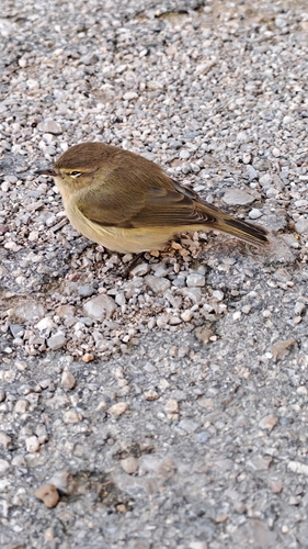
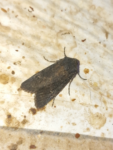
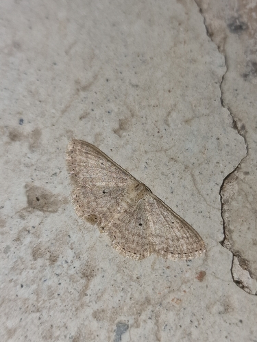
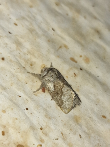
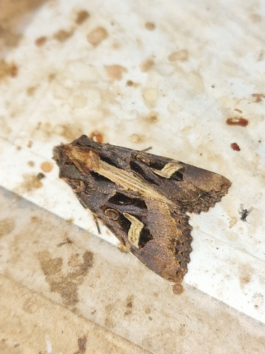
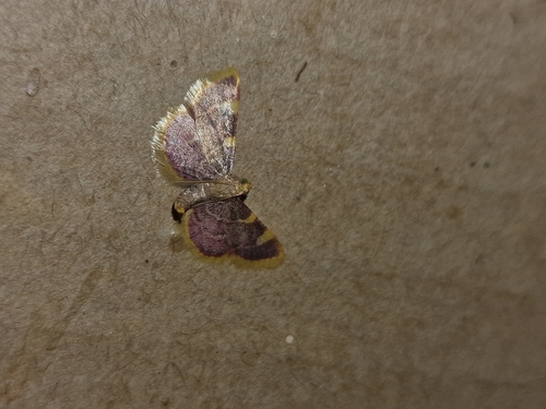
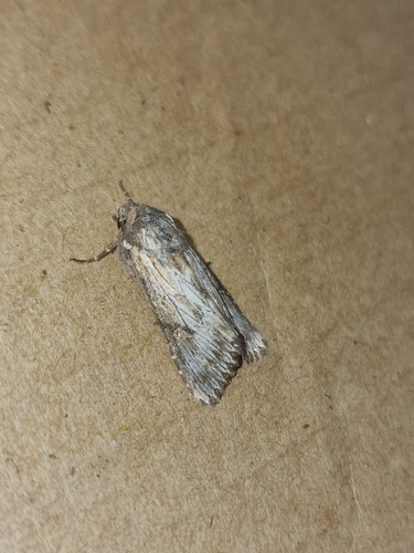
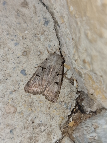
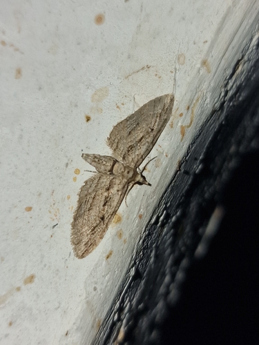
Research-grade observations from iNaturalist (within ~15 mi).
Events
Gallery
Official Identifiers
INSEE — French National Institute of Statistics
- INSEE code
- 13041
- Department
- 13
- Region
- 93
- Population (Wikidata)
- 21,597
geo.api.gouv.fr
Sources
- • Wikipedia
- • Wikidata
- • USGS Earthquake Catalog (global feed)
- • GBIF (Global Biodiversity Information Facility)
- • iNaturalist
- • Open-Meteo / sunrise-sunset.org
- • Wikipedia Pageviews API
- • Open Library
- • Wikidata SPARQL (CC0) — population, area, elevation, inception, head of government, Commons image
- • INSEE — French national statistics, via geo.api.gouv.fr (official commune code, population, surface, department, region)
- • INSEE — French National Institute of Statistics — geo.api.gouv.fr