Browse / France / Auvergne-Rhône-Alpes / Grenoble
Grenoble
Auvergne-Rhône-Alpescity

Grenoble
Total population
157,477
Air quality index
Demographic figures from INSEE. Overview below cites Wikipedia and may reference a different year.
City facts
Facts from Wikidata (CC0).
Overview
Grenoble is the prefecture and largest city of the Isère department in the Auvergne-Rhône-Alpes region of southeastern France. It was the capital of the Dauphiné historical province and lies where the river Drac flows into the Isère at the foot of the French Alps.
Read more on WikipediaHistory & geography
History
The first references to what is now Grenoble date back to 43 BC. Cularo was at that time a village of the Allobroges Gallic tribe, near a bridge across the Isère. Three centuries later and with insecurity rising in the late Roman Empire, a strong wall was built around the small town in 286 AD. The Emperor Gratian visited Cularo and, touched by the people's welcome, made the village a Roman city. In honour of this, Cularo was renamed Gratianopolis ("city of Gratian") in 381. Through regular historical sound shifts, this later became Graignovol during the Middle Ages, and this then became Grenoble. Christianity spread to the region during the 4th century, and the diocese of Grenoble was founded in 377 AD. From that time on, the bishops exercised significant political power over the city. Until the French Revolution, they styled themselves the "bishops and princes of Grenoble". After the collapse of the Roman Empire, the city became part of the first Burgundian kingdom in the 5th century and of the later Kingdom of Burgundy until 1032, when it was integrated into the Holy Roman Empire. The Burgundian rule was interrupted between 942 and 970 by Arab rule based in Fraxinet. Grenoble grew significantly in the 11th century when the Counts of Albon chose the city as the capital of their territories. Their possessions at the time were a patchwork of several territories sprawled across the region, and the central position of Grenoble allowed the Counts to strengthen their authority. When they later adopted the title of "Dauphins", Grenoble became the capital of the State of Dauphiné. Despite their status, the Counts had to share authority over the city with the Bishop of Grenoble. One of the most famous of those was Saint Hugh. Under his rule, the city's…
Geography
Grenoble is surrounded by mountains. To the north lies the Chartreuse, to the south and west the Vercors, and to the east the Belledonne range. Grenoble is regarded as the capital of the French Alps. It is the centre of the Grenoble urban unit (agglomeration). Except for a few dozen houses on the slopes of the Bastille hill of Chartreuse, Grenoble is exclusively built on the alluvial plain of the rivers Isère and Drac at an altitude of . As a result, the city itself is extremely flat. Mountain sports are an important tourist attraction in summer and winter. Twenty large and small ski resorts surround the city, the nearest being Le Sappey-en-Chartreuse, which is about 15 minutes away by car. Historically, Grenoble and the surrounding areas were heavy industry and mining sites. Abandoned mills and factories can be found in small towns and villages, and a few have been converted to tourist attractions, such as the coal mine at La Mure. The climate in Grenoble is much gloomier than in the Mediterranean region, although less so than in Northern France. Rainfall is quite heavy by French standards, although the number of rainy days is relatively moderate. As a result of winter lows averaging below freezing, snowfall also occurs, although the Grenoble Airport area itself is too mild to sustain a snowpack all winter, unlike the surrounding mountains. The record low of decisively indicates the continental influence, being colder than records in typical maritime climates. Winter nights are also colder than in all other French lowland areas. Different weather stations report significant variation in climate. Grenoble Airport, located northwest of the city, has a range from temperate continental climate to oceanic climate (Köppen: Cfb, Trewartha: Dc, Do) depending on the…
Excerpted from the corresponding Wikipedia article (CC BY-SA).
Geography
Coordinates & boundaries from the US Census TIGER/Line shapefiles.
Climate
Air quality
Current readings from Open-Meteo Air Quality API (Copernicus CAMS European reanalysis).
Walkability
Amenities nearby
Wildlife & biodiversity
Most-observed species
- Eurasian BlackbirdTurdus merula Linnaeus, 1758 · Aves2,951
- Great TitParus major Linnaeus, 1758 · Aves2,915
- Common ChaffinchFringilla coelebs Linnaeus, 1758 · Aves2,283
- European RobinErithacus rubecula (Linnaeus, 1758) · Aves2,275
- House SparrowPasser domesticus (Linnaeus, 1758) · Aves2,235
- Eurasian Blue TitCyanistes caeruleus (Linnaeus, 1758) · Aves1,973
- Carrion CrowCorvus corone Linnaeus, 1758 · Aves1,412
- Eurasian BlackcapSylvia atricapilla (Linnaeus, 1758) · Aves1,301
Citizen-science & research observations from the Global Biodiversity Information Facility (GBIF).
Earthquake history
Most recent
- M 3.3 — 2025-05-068 km W of Chapareillan, France
- M 4.5 — 2022-03-123 km S of Faverges, France
- M 3.2 — 2017-11-1710 km NNE of Saint-Rémy-de-Maurienne, France
- M 3.4 — 2013-04-061 km SSW of Poisy, France
- M 4.1 — 2013-01-077 km SE of Saint-Martin-de-Queyrières, France
- M 4.3 — 2010-06-303 km NW of Saint-Martin-de-Belleville, France
Events from the USGS Earthquake Catalog (global) (FDSN Event Web Service).
Photos
Sights & places nearby
Notable people from here


People born within ~10 km, from Wikidata (CC0). Click any name for their Wikipedia article.
Nearby places in Auvergne-Rhône-Alpes
- Saint-Martin-d'Uriage5.6 mi away · pop. 5,483
- Fontanil-Cornillon5.8 mi away · pop. 3,405
- Vaulnaveys-le-Haut6 mi away · pop. 4,000
- Saint-Jean-le-Vieux7.2 mi away · pop. 284
- Vizille7.9 mi away · pop. 7,293
- Veurey-Voroize8.4 mi away · pop. 1,401
- Autrans9.4 mi away
- Vif9.7 mi away · pop. 8,584
- Montaud10 mi away · pop. 521
- Méaudre11 mi away · pop. 3,075
- Saint-Quentin-sur-Isère11.2 mi away · pop. 1,477
- La Rivière11.7 mi away · pop. 729
Geography & sun
Elevation, sunrise/sunset and daylight from Open-Meteo. Solar climatology from NASA POWER.
Nearby airports
Public attention
Pageview totals from the Wikimedia Pageviews API.
Books about this place
Recent natural events nearby
Ground air-quality sensors
Recently spotted species
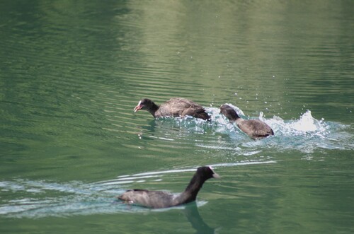
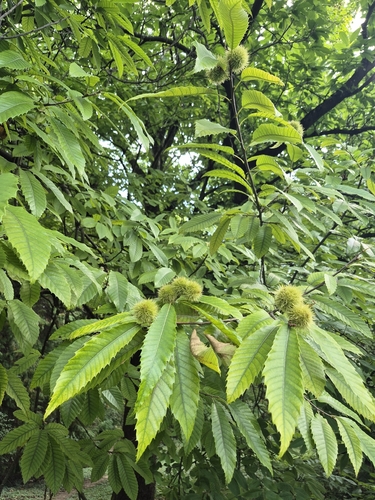
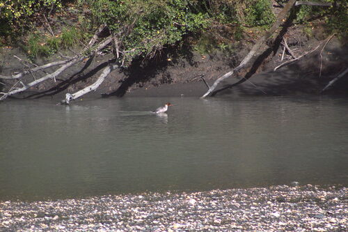
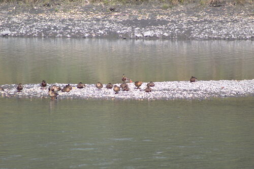
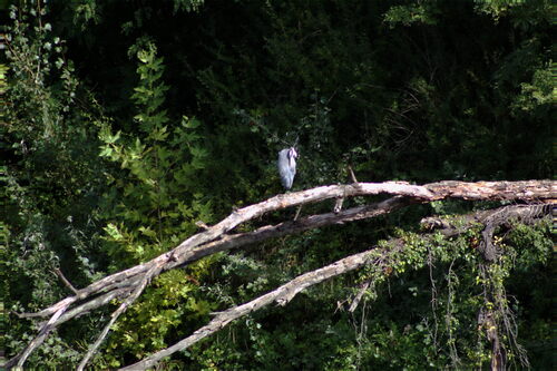
Research-grade observations from iNaturalist (within ~15 mi).
Events
Notable, recurring, and historical events associated with Grenoble, sourced from Wikidata.
- Université d'été : « La contribution des logiciels et ressources libres à l'amélioration de l'environnement de travail des enseignants et des élèves sur les réseaux »planned event
Summer University for free software in school held in Grenoble from 5 to 10 July 1999
Source: Wikidata (CC0).
Gallery
Geotagged photos within ~6 miles of Grenoble, from Wikimedia Commons contributors.


Photos via Wikimedia Commons — see each image page for license & attribution.
Official Identifiers
INSEE — French National Institute of Statistics
- INSEE code
- 38185
- Department
- 38
- Region
- 84
- Population (Wikidata)
- 156,140
geo.api.gouv.fr
Sources
- • Wikipedia
- • Wikimedia Commons
- • Wikidata
- • Open-Meteo Air Quality (CAMS)
- • USGS Earthquake Catalog (global feed)
- • GBIF (Global Biodiversity Information Facility)
- • iNaturalist
- • Open-Meteo / sunrise-sunset.org
- • Wikipedia Pageviews API
- • Wikidata SPARQL (CC0) — population, area, elevation, inception, head of government, Commons image
- • INSEE — French national statistics, via geo.api.gouv.fr (official commune code, population, surface, department, region)
- • INSEE — French National Institute of Statistics — geo.api.gouv.fr