Browse / France / Île-de-France / Groslay
Groslay
Île-de-Francevillage

Groslay
Total population
8,416
Demographic figures from INSEE. Overview below cites Wikipedia and may reference a different year.
City facts
Facts from Wikidata (CC0).
Overview
Groslay is a commune in the Val-d'Oise department in Île-de-France in northern France. It is located 15 km north of Paris, the capital.
Read more on WikipediaHistory & geography
History
The name comes from Graua, a Gaulish word, that means "terrain with pebbles". The nature of the soil was particularly favorable for wine growing, which was exploited here from antiquity until the late 19th century phylloxera epidemic. The name was first mentioned in an act of donations from the Abbey of Saint-Denis in 862. The first master of Groslay was Odon or Éudes of Groslay in the late 11th century. In the 13th century, the village became a fief of the House of Montmorency, in the 17th century of the House of Condé. The commune was essentially about wine which was produced until the early 20th century. Groslay has seen similar developments as neighbouring Montmorency: construction of country houses in the 18th century, middle class houses in the 19th century, and garden city urbanization in the 20th century. Groslay hasn't been subjected to large scale urbanization in the 1960s and the 1970s unlike many of its neighbours. The municipal park and the square in front of the town hall were completely renovated in 2007.
Excerpted from the corresponding Wikipedia article (CC BY-SA).
Geography
Coordinates & boundaries from the US Census TIGER/Line shapefiles.
Climate
10-year averages from ERA5 reanalysis (Open-Meteo).
Air quality
Walkability
Amenities nearby
Wildlife & biodiversity
Earthquake history
Most recent
- M 3.1 — 2005-06-013 km N of Grandvilliers, France
Events from the USGS Earthquake Catalog (global) (FDSN Event Web Service).
Photos
Sights & places nearby
Notable people from here


People born within ~10 km, from Wikidata (CC0). Click any name for their Wikipedia article.
Geography & sun
Elevation, sunrise/sunset and daylight from Open-Meteo. Solar climatology from NASA POWER.
Nearby airports
Public attention
Pageview totals from the Wikimedia Pageviews API.
Books about this place
Recent natural events nearby
Ground air-quality sensors
Recently spotted species

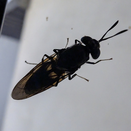
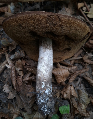
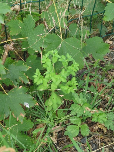
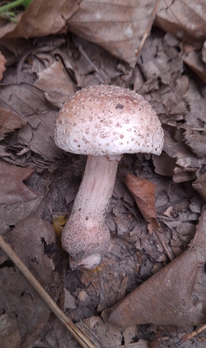
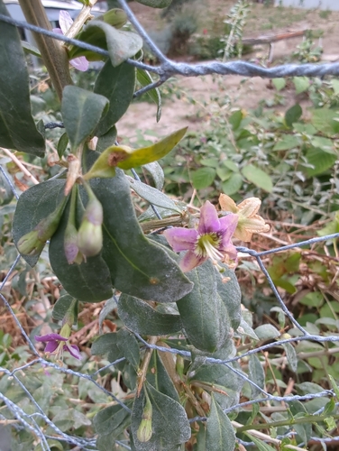
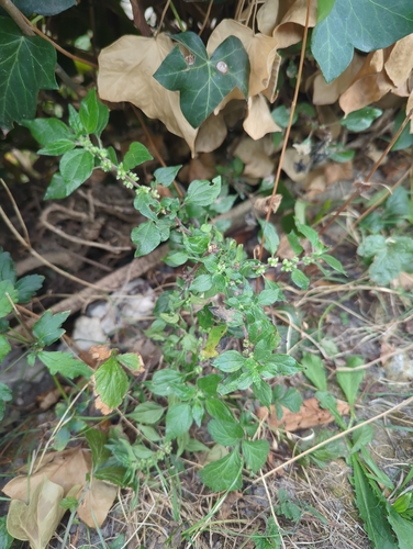
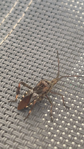
Research-grade observations from iNaturalist (within ~15 mi).
Events
Gallery
Official Identifiers
INSEE — French National Institute of Statistics
- INSEE code
- 95288
- Department
- 95
- Region
- 11
- Population (Wikidata)
- 8,453
geo.api.gouv.fr
Sources
- • Wikipedia
- • Open-Meteo (ERA5 reanalysis)
- • Wikidata
- • USGS Earthquake Catalog (global feed)
- • iNaturalist
- • Open-Meteo / sunrise-sunset.org
- • Wikipedia Pageviews API
- • INSEE — French national statistics, via geo.api.gouv.fr (official commune code, population, surface, department, region)
- • INSEE — French National Institute of Statistics — geo.api.gouv.fr