Browse / France / Grand Est / Hœnheim
Hœnheim
Grand Esttown

Hœnheim
Total population
11,469
Demographic figures from INSEE. Overview below cites Wikipedia and may reference a different year.
City facts
Facts from Wikidata (CC0).
Overview
Hœnheim or Hoenheim is a commune in the Bas-Rhin department in Grand Est in north-eastern France.
Read more on WikipediaHistory & geography
History
Vestiges and reports raised on the ground attest the existence of a small group of dwellings near Hoenheim from the Neolithic age. The first mention of the name Hoenheim goes back to the year 742. At the end of the 9th century, the village of Hœnheim was the property of the Benedictine monastery of Honau, created by the brother of Saint Odile. Under the Holy Roman Empire, Hœnheim became the property of the diocese of Strasbourg, which allotted its land to knights or religious communities. Around the mid-14th century, the diocese made a gift of the Fief of Hœnheim to knights. 1350 sees the first written mention of the Chapel of John the Baptist. During the Hundred Years' War, Hœnheim, like many villages, had to undergo the passage of the "Écorcheurs" who tried, without success, to take Strasbourg. While passing through the hands of various noble families, the Fief finally returned to the Uttenheim of Ramstein family in 1457. In the 16th century, the lords of Uttenheim, dismayed by the escapades of the clergy of this time, joined the Reformation and with them the inhabitants of Hoenheim. At the time of the Thirty Years' War, Hoenheim, like Bischheim, was a victim of the exactions of the two sides. In 1649, at the time of the treaty of Westphalia, putting an end to the war, Alsace returned to France and subsequent Catholicism. In 1676 the last lord of Uttenheim died without an heir. The quarrel of succession ended in 1681 with the victory of the family Rathamhausen of Stein over the canons of the great chapter of Strasbourg. In 1689, the elder branch of Rathamhausen dies out and the Fief of Hœnheim returns to the great chapter of Strasbourg. On 21 May 1691 the bishop of Strasbourg gave the Fief to the knight-lord of Chamlay, maréchal général des logis des camps…
Geography
Hœnheim lies north of Strasbourg. The neighboring communes of Hœnheim are (North to South): Souffelweyersheim, Reichstett (canton of Mundolsheim), an enclave of Bischheim, an enclave of Schiltigheim (canton of Schiltigheim). Hœnheim is located on the river Ill and the Rhine-Marne canal. The historic center is on a ridge and overlooking the "Ried" (Zone of easily flooded meadows) of Ill. This historical center gave the name to Hœnheim, the first mentions indicate the spelling Hohenheim, in other words residence on the hill.
Excerpted from the corresponding Wikipedia article (CC BY-SA).
Geography
Coordinates & boundaries from the US Census TIGER/Line shapefiles.
Climate
Air quality
Walkability
Amenities nearby
Wildlife & biodiversity
Earthquake history
Photos
Sights & places nearby
Notable people from here


People born within ~10 km, from Wikidata (CC0). Click any name for their Wikipedia article.
Nearby places in Grand Est
- Niederhausbergen2.5 mi away · pop. 1,673
- Mittelhausbergen2.9 mi away · pop. 2,094
- Oberschaeffolsheim5.4 mi away · pop. 2,592
- Kilstett5.9 mi away · pop. 2,491
- Bietlenheim6.9 mi away · pop. 308
- Geudertheim7 mi away · pop. 2,675
- Breuschwickersheim7.5 mi away · pop. 1,337
- Bilwisheim7.6 mi away · pop. 539
- Hangenbieten7.6 mi away · pop. 1,740
- Brumath7.9 mi away · pop. 10,238
- Entzheim8.1 mi away · pop. 2,520
- Donnenheim8.2 mi away · pop. 363
Geography & sun
Elevation, sunrise/sunset and daylight from Open-Meteo. Solar climatology from NASA POWER.
Nearby airports
Public attention
Pageview totals from the Wikimedia Pageviews API.
Books about this place
Recent natural events nearby
Ground air-quality sensors
Recently spotted species
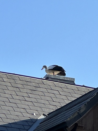
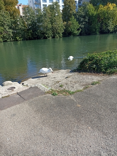
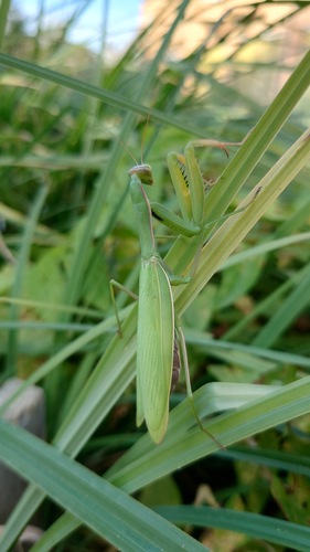

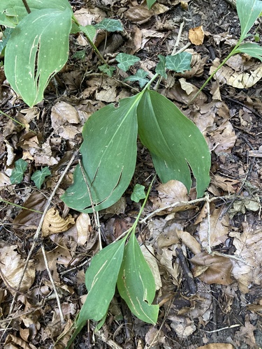
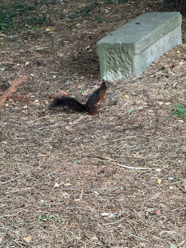
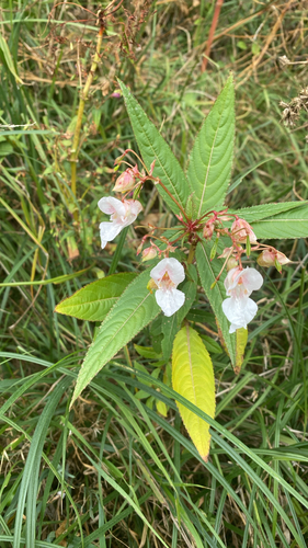
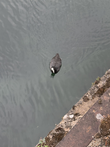
Research-grade observations from iNaturalist (within ~15 mi).
Events
Gallery
Official Identifiers
INSEE — French National Institute of Statistics
- INSEE code
- 67204
- Department
- 67
- Region
- 44
- Population (Wikidata)
- 11,742
geo.api.gouv.fr
Sources
- • Wikipedia
- • Wikidata
- • iNaturalist
- • Open-Meteo / sunrise-sunset.org
- • Wikipedia Pageviews API
- • Wikidata SPARQL (CC0) — population, area, elevation, inception, head of government, Commons image
- • INSEE — French national statistics, via geo.api.gouv.fr (official commune code, population, surface, department, region)
- • INSEE — French National Institute of Statistics — geo.api.gouv.fr