Browse / France / Hauts-de-France / Hazebrouck
Hazebrouck
Hauts-de-Francetown

Hazebrouck
Total population
21,498
Demographic figures from INSEE. Overview below cites Wikipedia and may reference a different year.
City facts
Facts from Wikidata (CC0).
Overview
Hazebrouck is a commune in the Nord department, Hauts-de-France. It was a small market town in Flanders until it became an important railway junction in the 1860s. West Flemish was the usual language until 1880, when French was taught at school by mandate of the French government in an effort to "Frenchify" the people of the Nord-Pas-de-Calais and to extinguish their Flemish roots. The development of the railways linked Hazebrouck to Lille to Calais and Dunkirk.
Read more on WikipediaHistory & geography
History
The incorporation into France of what had previously been a Flemish town was ratified under the Treaties of Nijmegen in 1678. The oldest monument of the town is St Eloi's church. The Hôtel de Ville was completed in 1820. During the two world wars Hazebrouck was an important military target. Many British soldiers are buried in the cemeteries around the town. In the town museum, which was originally a chapel and friary of the Augustines, visitors can see the Hazebrouck's giants: Roland, Tisje-Tasje, Toria and Babe-Tasje. An attack by the German army was proposed in October 1917 by the Army Group Commander Field Marshal Prince Rupprecht of Bavaria as a large-scale attack either carried by itself or as an attack to relieve pressure on the German Front. Rupprecht's Army Group held the German Front in Flanders and Picardy. The operation was given the codename of "George" and plans were submitted for an offensive attack between Ypres and Bethune. The breakthrough would be made in the British Front just south of the Belgian-French border in the Lys river area with the intention to get past the Allied Front there and advance to Hazebrouck. This would divide and cut the British Second Army near the Lys river away from the British Army in Artois. The British-held rail centre of Hazebrouck would be captured and the British troops in Belgian Flanders could be forced westwards and stuck on the Belgian coast. The operation would, however, only be possible to start from April. During the Battle of the Lys, the German Sixth Army renewed its attack in the south on 12 April 1918, towards the important supply centre of Hazebrouck. The Germans advanced some and captured Merville. On 13 April they were stopped by the First Australian Division, which had been transferred to the area.…
Excerpted from the corresponding Wikipedia article (CC BY-SA).
Geography
Coordinates & boundaries from the US Census TIGER/Line shapefiles.
Climate
10-year averages from ERA5 reanalysis (Open-Meteo).
Air quality
Walkability
Amenities nearby
Wildlife & biodiversity
Most-observed species
- Eurasian CootFulica atra Linnaeus, 1758 · Aves1,514
- Eurasian BlackbirdTurdus merula Linnaeus, 1758 · Aves1,459
- Common Wood-PigeonColumba palumbus Linnaeus, 1758 · Aves1,359
- Common ChaffinchFringilla coelebs Linnaeus, 1758 · Aves1,284
- MallardAnas platyrhynchos Linnaeus, 1758 · Aves1,233
- African clawed frogXenopus laevis (Daudin, 1802) · Amphibia1,053
- Eurasian WrenTroglodytes troglodytes (Linnaeus, 1758) · Aves999
- House SparrowPasser domesticus (Linnaeus, 1758) · Aves962
Citizen-science & research observations from the Global Biodiversity Information Facility (GBIF).
Earthquake history
Most recent
- M 2.6 — 2008-08-081 km SSE of Boussu, Belgium
- M 3.2 — 2008-07-141 km SW of Boussu, Belgium
- M 3.1 — 2005-02-271 km NW of Libercourt, France
- M 2.5 — 2004-10-030 km ESE of Maubray, Belgium
- M 3.1 — 2001-07-023 km NNE of Oostduinkerke, Belgium
Events from the USGS Earthquake Catalog (global) (FDSN Event Web Service).
Photos
Sights & places nearby
Notable people from here


People born within ~10 km, from Wikidata (CC0). Click any name for their Wikipedia article.
Nearby places in Hauts-de-France
- Saint-Sylvestre-Cappel3.8 mi away · pop. 1,154
- Steenbecque4 mi away · pop. 1,650
- Lynde5.1 mi away · pop. 778
- Flêtre5.2 mi away · pop. 969
- Terdeghem5.3 mi away · pop. 518
- Cassel5.8 mi away · pop. 2,227
- Boëseghem6 mi away · pop. 741
- Godewaersvelde6.8 mi away · pop. 2,053
- Méteren6.9 mi away · pop. 2,256
- Merville7.1 mi away · pop. 9,652
- Wemaers-Cappel7.2 mi away · pop. 237
- Noordpeene8.4 mi away · pop. 800
Geography & sun
Elevation, sunrise/sunset and daylight from Open-Meteo. Solar climatology from NASA POWER.
Nearby airports
Public attention
Pageview totals from the Wikimedia Pageviews API.
Books about Hazebrouck
Search results from Open Library.
Recent natural events nearby
Ground air-quality sensors
Recently spotted species
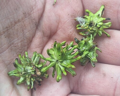
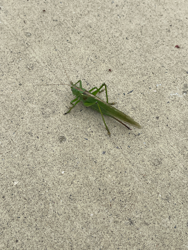
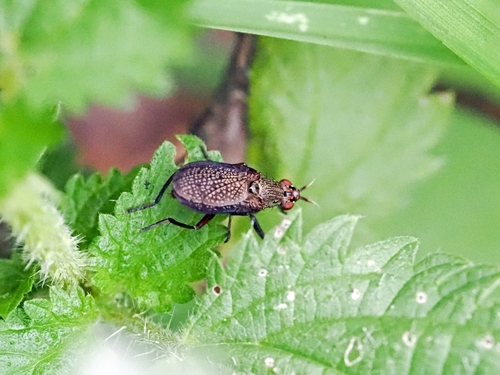
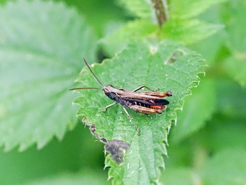
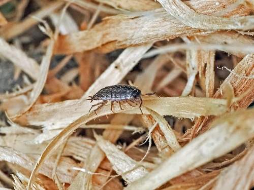
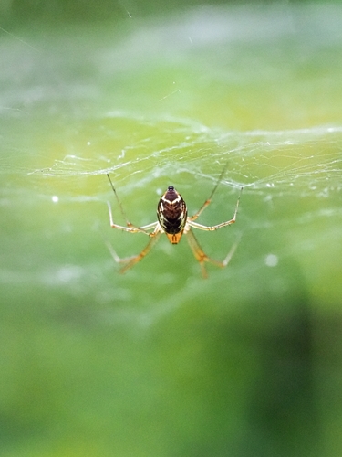
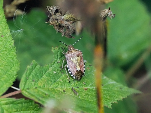
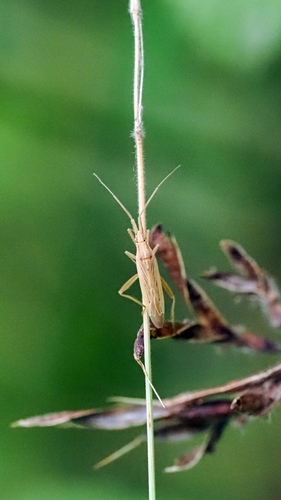
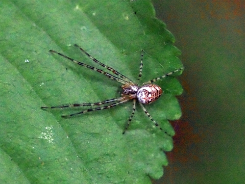
Research-grade observations from iNaturalist (within ~15 mi).
Events
Gallery
Official Identifiers
INSEE — French National Institute of Statistics
- INSEE code
- 59295
- Department
- 59
- Region
- 32
- Population (Wikidata)
- 21,912
geo.api.gouv.fr
Sources
- • Wikipedia
- • Open-Meteo (ERA5 reanalysis)
- • Wikidata
- • USGS Earthquake Catalog (global feed)
- • GBIF (Global Biodiversity Information Facility)
- • iNaturalist
- • Open-Meteo / sunrise-sunset.org
- • Wikipedia Pageviews API
- • Open Library
- • Wikidata SPARQL (CC0) — population, area, elevation, inception, head of government, Commons image
- • INSEE — French national statistics, via geo.api.gouv.fr (official commune code, population, surface, department, region)
- • INSEE — French National Institute of Statistics — geo.api.gouv.fr