Browse / France / Nouvelle-Aquitaine / Hendaye
Hendaye
Nouvelle-Aquitainetown

Hendaye
Total population
17,796
Demographic figures from INSEE. Overview below cites Wikipedia and may reference a different year.
City facts
Sister cities
Facts from Wikidata (CC0).
Overview
Hendaye is a commune in the Pyrénées-Atlantiques department and Nouvelle-Aquitaine region of southwestern France.
Read more on WikipediaHistory & geography
History
Hendaye acquired its independence from the Urrugne parish in 1598, when Saint Vincent's church was built. In the Franco-Spanish War, the town was briefly occupied by the Spanish, in September 1636. On the fortified Île des Faisans (Pheasant Island) in the river, the Treaty of the Pyrenees was signed in 1659, ending decades of intermittent war between France and Spain. Authority over the island alternates between France and Spain every six months. All the same, the village kept being subject to destruction due to cross-border military activity. In the War of the Pyrenees (1793–1795), the village was levelled to the ground, as described in 1799 by Wilhelm von Humboldt: "The settlement spreads over a rather wide area, and seems to have looked clean and pleasant time ago. Currently all the houses, but for a handful of them, lie destroyed. The empty walls can barely stand, while the ground before inhabited is covered with overgrown bush and hawthorn. Ivy creeps up the walls, out of crumbling windows the desolate ocean can be seen through the room. Shells can still be come across the street here and there, but hardly ever can one bump into a person. Most of the inhabitants either perished in the danger and helplessness of the runaway, or they scattered away to other places." The abolition of the French provinces, the War of the Pyrenees and the end of Basque home rule in the Spanish Basque districts—customs on the Ebro river moved to the Pyrenees (1841)—broke definitely the fluent cross-border trade and natural coexistence of the Basque speaking communities around the lower Bidasoa and the Bay of Txingudi, divided as of then by a restricted Spanish-French border. On 22 October 1863, the railway arrived in Hendaye, as the track on the Spanish side also approached the…
Excerpted from the corresponding Wikipedia article (CC BY-SA).
Geography
Coordinates & boundaries from the US Census TIGER/Line shapefiles.
Climate
Air quality
Walkability
Amenities nearby
Wildlife & biodiversity
Earthquake history
Photos
Sights & places nearby
Notable people from here


People born within ~10 km, from Wikidata (CC0). Click any name for their Wikipedia article.
Nearby places in Nouvelle-Aquitaine
- Villefranque16.3 mi away · pop. 2,893
- Saint-Pierre-d'Irube17.5 mi away · pop. 5,822
- Ondres20.8 mi away · pop. 5,855
- Saint-Martin-de-Hinx28.9 mi away · pop. 1,717
- Uhart-Cize29.4 mi away · pop. 801
- Bustince31.7 mi away · pop. 106
- Saint-Jean-le-Vieux31.7 mi away · pop. 857
- Bussunarits32.7 mi away · pop. 209
- Arraute32.9 mi away · pop. 425
- Bascassan33.1 mi away · pop. 263
- Came33.6 mi away · pop. 1,013
- Beyrie-sur-Joyeuse34.4 mi away · pop. 538
Geography & sun
Elevation, sunrise/sunset and daylight from Open-Meteo. Solar climatology from NASA POWER.
Nearby airports
Public attention
Pageview totals from the Wikimedia Pageviews API.
Books about this place
Recent natural events nearby
Ground air-quality sensors
Recently spotted species
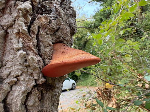
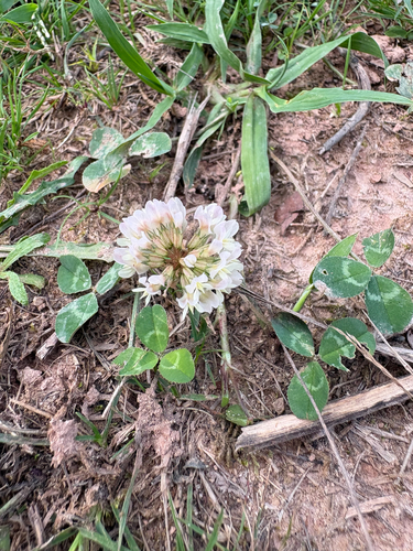
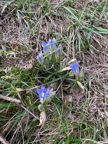
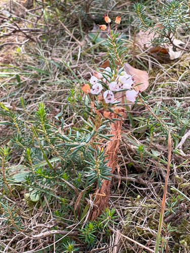
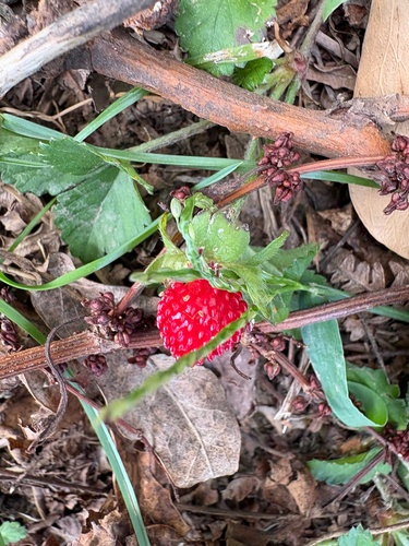
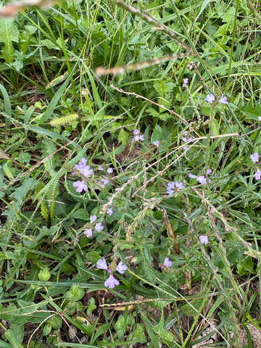
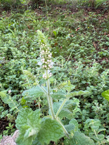
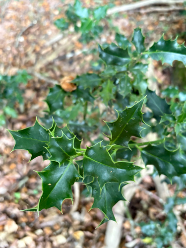
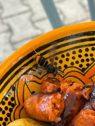
Research-grade observations from iNaturalist (within ~15 mi).
Events
Gallery
Official Identifiers
INSEE — French National Institute of Statistics
- INSEE code
- 64260
- Department
- 64
- Region
- 75
- Population (Wikidata)
- 18,102
geo.api.gouv.fr
Sources
- • Wikipedia
- • Wikidata
- • iNaturalist
- • Open-Meteo / sunrise-sunset.org
- • Wikipedia Pageviews API
- • Wikidata SPARQL (CC0) — population, area, elevation, inception, head of government, Commons image
- • INSEE — French national statistics, via geo.api.gouv.fr (official commune code, population, surface, department, region)
- • INSEE — French National Institute of Statistics — geo.api.gouv.fr