Browse / France / Provence-Alpes-Côte d'Azur / Hyères
Hyères
Provence-Alpes-Côte d'Azurtown

Hyères
Total population
55,103
Demographic figures from INSEE. Overview below cites Wikipedia and may reference a different year.
City facts
Facts from Wikidata (CC0).
Overview
Hyères, Provençal Occitan: Ieras in classical norm, or Iero in Mistralian norm) is a commune in the Var department in the Provence-Alpes-Côte d'Azur region in southeastern France.
Read more on WikipediaHistory & geography
History
The Hellenic city of Olbia () was refounded on the Phoenician settlement that dated to the fourth century BC; Olbia is mentioned by the geographer Strabo ([https://penelope.uchicago.edu/Thayer/E/Roman/Texts/Strabo/4A*.html IV.1.5]) as a city of the Massiliotes that was fortified "against the tribe of the Salyes and against those Ligures who live in the Alps". Greek and Roman antiquities have been found in the area. The first reference to the town Hyères dates from 963. Originally a possession of the Viscount of Marseille, it was later transferred to Charles of Anjou. Louis IX King of France (often known as "St Louis") landed at Hyères in 1254 when returning from the crusades. The Hôtel de Ville was completed in 1864. After defecting from Soviet intelligence in 1937, Walter Krivitsky hid in Hyères (one of the farthest points in France from his operational base in Paris). As part of Operation Dragoon on 15 August 1944, the First Special Service Force came ashore off the coast of Hyères to take the islands of Port-Cros and Levant. The small German garrisons offered little resistance and the whole eastern part of Port-Cros was secured by 06:30. All fighting was over on Levant by the evening, but, on Port-Cros, the Germans withdrew into old thick-walled forts. It was only when naval guns were brought to bear that they realised that further resistance was useless. An intense naval barrage on 18 August 1944 heralded the next phase of the operation—the assault on the largest of the Hyères islands, Porquerolles. French forces—naval units and colonial formations, including Senegalese infantry—became involved on 22 August and subsequently occupied the island. A US–Canadian Special Forces landing at the eastern end of Porquerolles took large numbers of prisoners, the Germans…
Geography
Its position facing the Mediterranean to the south makes it popular with tourists in the winter and makes it ideal for the cultivation of palm trees. As a result, the town is frequently referred to as Hyères-les-Palmiers (palmiers meaning palm trees). The three islands of the Îles d'Hyères (namely, Porquerolles, Port-Cros, and the Île du Levant) are just offshore. Porquerolles and Port-Cros form the Port-Cros National Park. The commune has a land area of . The city of Hyères has a hot-summer Mediterranean climate (Köppen: Csa) and it is one of the warmest cities in France. Winters are relatively mild and summers are hot, with maximum temperatures often surpassing . It is also one of the driest cities in France, with barely 57 rainy days per year and almost rainless summers. Hyères is located on the Côte d'Azur and enjoys a Mediterranean climate with hot and dry summers and mild and relatively humid winters. The harbor can be subjected to strong winds, with a record set at 183.3 km/h on 3 March 1995. The mistral blows there, although the municipality is sheltered to the north by the Massif des Maures (the mistral coming from the west, and swaying to the east, south of the Rhône Valley therefore reaches it). It is sometimes exposed to the east (or "east wind") that rushes into the harbor between the island of Port-Cros and Cape Bénat but is protected dusirocco by the island of Porquerolles and the peninsula of Giens. On an annual average, the temperature stands at 15.9 °C with a maximum average of 20.1 °C and a minimum of 11.8 °C. The maximum and minimum nominal temperatures recorded are 29 °C in July–August and 6 °C in January and February, mild values thanks to the presence of the Mediterranean and the Toulon agglomeration. Frost days…
Excerpted from the corresponding Wikipedia article (CC BY-SA).
Geography
Coordinates & boundaries from the US Census TIGER/Line shapefiles.
Climate
Air quality
Walkability
Amenities nearby
Wildlife & biodiversity
Earthquake history
Photos
Sights & places nearby
Notable people from here


People born within ~10 km, from Wikidata (CC0). Click any name for their Wikipedia article.
Geography & sun
Elevation, sunrise/sunset and daylight from Open-Meteo. Solar climatology from NASA POWER.
Nearby airports
Public attention
Pageview totals from the Wikimedia Pageviews API.
Books about this place
Recent natural events nearby
Ground air-quality sensors
Recently spotted species
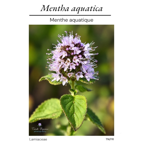
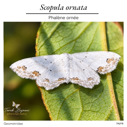
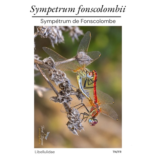
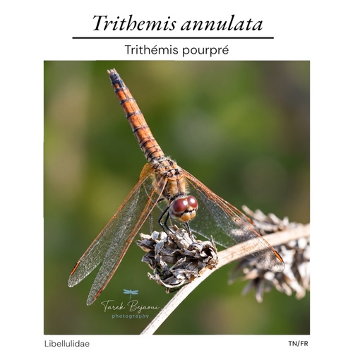
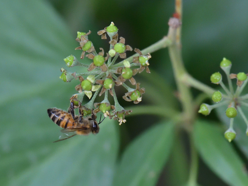
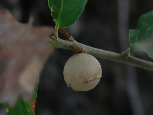
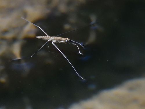
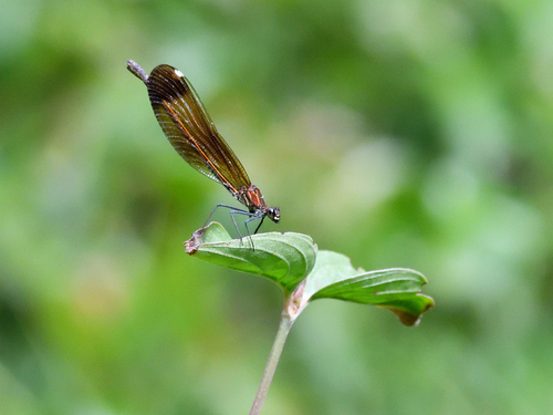
Research-grade observations from iNaturalist (within ~15 mi).
Events
Notable, recurring, and historical events associated with Hyères, sourced from Wikidata.
- Q141301466festival
Source: Wikidata (CC0).
Gallery
Official Identifiers
INSEE — French National Institute of Statistics
- INSEE code
- 83069
- Department
- 83
- Region
- 93
- Population (Wikidata)
- 55,858
geo.api.gouv.fr
Sources
- • Wikipedia
- • Wikidata
- • iNaturalist
- • Open-Meteo / sunrise-sunset.org
- • Wikipedia Pageviews API
- • Wikidata SPARQL (CC0) — population, area, elevation, inception, head of government, Commons image
- • INSEE — French national statistics, via geo.api.gouv.fr (official commune code, population, surface, department, region)
- • INSEE — French National Institute of Statistics — geo.api.gouv.fr