Browse / France / Occitanie / Langogne
Langogne
Occitanietown

Langogne
Total population
2,867
Demographic figures from INSEE. Overview below cites Wikipedia and may reference a different year.
City facts
Facts from Wikidata (CC0).
Overview
Langogne is a commune in the Lozère department in southern France.
Read more on WikipediaHistory & geography
History
The name appears in the corpus of Gaulish toponymy. Mount Milan may have been an oppidum (as suggested by the findings of Roman medals, coins and weapons). It might have been the meeting area of the Gabali tributes that joined Vercingetorix’s army in their struggle against Caesar. In the Early Middle Ages, the territory belonged to the Viguerie of Miliac, one of the eight composing the Gevaudan. The city itself was founded in 998 by the monks of le Monastier. The medieval town, built around the monastery, took benefit of the Regordane to become an important centre of trade. The stream allows the development of the wool and the textile industry. During the Wars of Religions, the town was plundered in 1568 by the Huguenot troop of captain Merle. The hunting of the Beast of Gévaudan started in Langogne in 1764. During the French Revolution, many religious items were destroyed by fire in the centre of the town in 1793. The railway station opened in 1860. Langogne is in direct link to Paris and Nimes. That led to the growth of industry (mainly meat industry) and tourism. The city was liberated in August 1944 by the 1st DB. A march against the Naussac dam was organized in August 1976, with the attendance of well-known activists of this time. In 2002, Langogne charcutiers made the “longest sausage” in the world (23 km). The town owns several medieval pieces of architecture (houses, ramparts, etc.) as well as a noted corned market built in 1743. Robert Louis Stevenson passed through Langogne on his Travels with a Donkey in the Cévennes on 23 September 1878. He left descriptions of the countryside but nothing on the town itself, though it was the largest on his trip, and the largest on the GR 70, a long-distance footpath that follows Stevenson's route. Just…
Excerpted from the corresponding Wikipedia article (CC BY-SA).
Geography
Coordinates & boundaries from the US Census TIGER/Line shapefiles.
Climate
Air quality
Walkability
Amenities nearby
Wildlife & biodiversity
Earthquake history
Photos
Sights & places nearby
Notable people from here


People born within ~10 km, from Wikidata (CC0). Click any name for their Wikipedia article.
Geography & sun
Elevation, sunrise/sunset and daylight from Open-Meteo. Solar climatology from NASA POWER.
Nearby airports
Public attention
Pageview totals from the Wikimedia Pageviews API.
Books about this place
Recent natural events nearby
Ground air-quality sensors
Recently spotted species
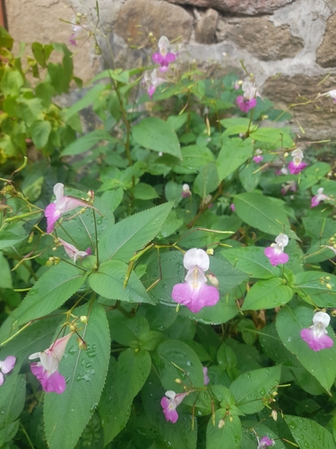
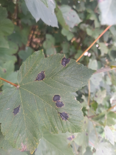
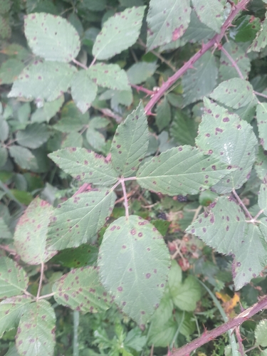
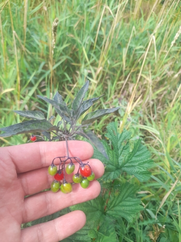
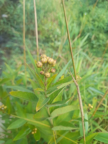
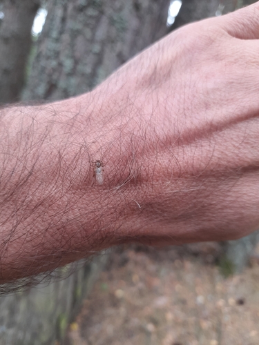
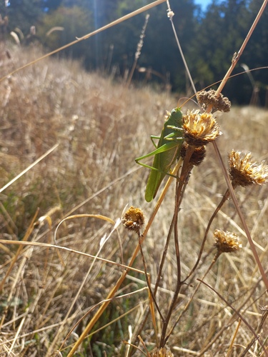
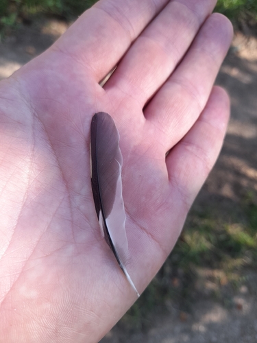
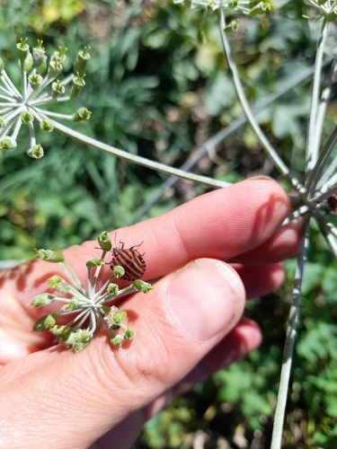
Research-grade observations from iNaturalist (within ~15 mi).
Events
Gallery
Official Identifiers
INSEE — French National Institute of Statistics
- INSEE code
- 48080
- Department
- 48
- Region
- 76
- Population (Wikidata)
- 2,836
geo.api.gouv.fr
Sources
- • Wikipedia
- • Wikidata
- • iNaturalist
- • Open-Meteo / sunrise-sunset.org
- • Wikipedia Pageviews API
- • INSEE — French national statistics, via geo.api.gouv.fr (official commune code, population, surface, department, region)
- • INSEE — French National Institute of Statistics — geo.api.gouv.fr