Browse / France / Grand Est / Laxou
Laxou
Grand Esttown

Laxou
Total population
14,671
Air quality index
Demographic figures from INSEE. Overview below cites Wikipedia and may reference a different year.
City facts
Sister cities
Facts from Wikidata (CC0).
Overview
Laxou is a commune in the Meurthe-et-Moselle department in north-eastern France. It is a suburb, adjacent to the west of Nancy.
Read more on WikipediaHistory & geography
Geography
Coordinates & boundaries from the US Census TIGER/Line shapefiles.
Climate
Air quality
Current readings from Open-Meteo Air Quality API (Copernicus CAMS European reanalysis).
Walkability
Amenities nearby
Wildlife & biodiversity
Most-observed species
- Great TitParus major Linnaeus, 1758 · Aves1,964
- Eurasian Blue TitCyanistes caeruleus (Linnaeus, 1758) · Aves1,681
- Eurasian BlackbirdTurdus merula Linnaeus, 1758 · Aves1,630
- House SparrowPasser domesticus (Linnaeus, 1758) · Aves1,407
- European RobinErithacus rubecula (Linnaeus, 1758) · Aves1,209
- Carrion CrowCorvus corone Linnaeus, 1758 · Aves1,202
- Common ChaffinchFringilla coelebs Linnaeus, 1758 · Aves1,178
- Eurasian MagpiePica pica (Linnaeus, 1758) · Aves904
Citizen-science & research observations from the Global Biodiversity Information Facility (GBIF).
Earthquake history
Most recent
- M 3 — 2008-09-282 km SSW of Saarwellingen, Germany
- M 2.5 — 2008-08-272 km S of Jeanménil, France
- M 2.5 — 2008-05-031 km SE of Saarwellingen, Germany
- M 2.6 — 2008-04-301 km NNW of Jeanménil, France
- M 2.5 — 2008-04-191 km SSW of Saarwellingen, Germany
- M 4.5 — 2008-02-233 km ENE of Saarwellingen, Germany
Events from the USGS Earthquake Catalog (global) (FDSN Event Web Service).
Photos
Sights & places nearby
Notable people from here


People born within ~10 km, from Wikidata (CC0). Click any name for their Wikipedia article.
Nearby places in Grand Est
- Jarville-la-Malgrange2.4 mi away · pop. 9,374
- Laneuveville-devant-Nancy4.1 mi away · pop. 6,551
- Ludres4.4 mi away · pop. 6,081
- Lay-Saint-Christophe4.9 mi away · pop. 2,370
- Vitrimont14.4 mi away · pop. 390
- Blainville-sur-l'Eau14.7 mi away · pop. 3,927
- Bonviller16.1 mi away · pop. 178
- Rehainviller16.8 mi away · pop. 1,051
- Phlin16.8 mi away · pop. 43
- Saint-Firmin18.4 mi away · pop. 288
- Vic-sur-Seille18.5 mi away · pop. 1,329
- Croismare20 mi away · pop. 639
Geography & sun
Elevation, sunrise/sunset and daylight from Open-Meteo. Solar climatology from NASA POWER.
Nearby airports
Public attention
Pageview totals from the Wikimedia Pageviews API.
Books about this place
Recent natural events nearby
Ground air-quality sensors
Recently spotted species
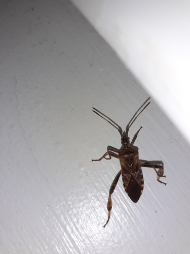
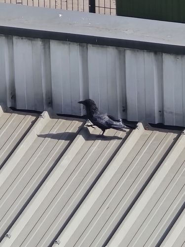
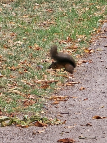
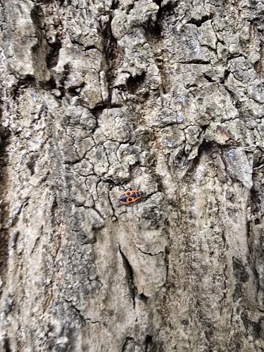
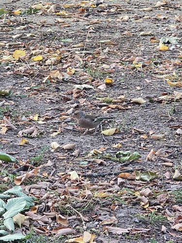
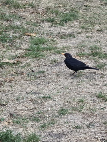
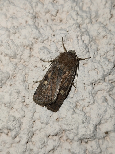
Research-grade observations from iNaturalist (within ~15 mi).
Events
Gallery
Official Identifiers
INSEE — French National Institute of Statistics
- INSEE code
- 54304
- Department
- 54
- Region
- 44
- Population (Wikidata)
- 14,771
geo.api.gouv.fr
Sources
- • Wikipedia
- • Wikidata
- • Open-Meteo Air Quality (CAMS)
- • USGS Earthquake Catalog (global feed)
- • GBIF (Global Biodiversity Information Facility)
- • iNaturalist
- • Open-Meteo / sunrise-sunset.org
- • Wikipedia Pageviews API
- • Wikidata SPARQL (CC0) — population, area, elevation, inception, head of government, Commons image
- • INSEE — French national statistics, via geo.api.gouv.fr (official commune code, population, surface, department, region)
- • INSEE — French National Institute of Statistics — geo.api.gouv.fr