Browse / France / Provence-Alpes-Côte d'Azur / Le Beausset
Le Beausset
Provence-Alpes-Côte d'Azurvillage

Featured view
Le Beausset
Total population
10,007
Elevation80 m
Land area35.95 km²
Coordinates43.20°, 5.80°
Demographic figures from INSEE. Overview below cites Wikipedia and may reference a different year.
Loading additional data from public sources…0 / 11
CensusWikipediaWeatherPlacesPeopleEnvironmentHealth & SchoolsRelatedGeography & CultureLive MonitoringEvents & Gallery
0% completeCity facts
Facts from Wikidata (CC0).
Overview
Le Beausset is a commune in the Var department in the Provence-Alpes-Côte d'Azur region in southeastern France.
Read more on WikipediaHistory & geography
Geography
Latitude
43.1988
Longitude
5.8007
Water area
—
Coordinates & boundaries from the US Census TIGER/Line shapefiles.
Climate
Air quality
Walkability
Amenities nearby
Wildlife & biodiversity
Earthquake history
Photos
Sights & places nearby
Notable people from here

Yannick Dalmas
French racecar driver

Mourad Boudjellal
French businessman

Marius Michel Pasha
French architect (1819–1907)

Auguste Charlois
French astronomer (1864-1910)

Jean-Étienne-Marie Portalis
French lawyer (1746-1807)
A
Abdelkader Oueslati
Tunisian association football player
J
Joseph Ravaisou
French painter (1865-1925)

Raymond Roche
French motorcycle racer

Christophe Castaner
French lawyer and politician

Josuha Guilavogui
French footballer (born 1990)

Stéphane Dumas
French basketball player (born 1978)

Aimé Durbec
French association football player (1902-1991)
A
Alain Terrane
French actor (1923-2000)
A
Auguste Amic
French politician (1921-2006)
B
Bernard Jourdan
French writer (1918-2003)

Charles Coste
French cyclist (1924–2025)
People born within ~10 km, from Wikidata (CC0). Click any name for their Wikipedia article.
Nearby places in Provence-Alpes-Côte d'Azur
- Ceyreste8.2 mi away · pop. 4,813
- Roquefort-la-Bédoule11.1 mi away · pop. 5,861
- Solliès-Toucas11.3 mi away · pop. 5,912
- Nans-les-Pins12.1 mi away · pop. 4,968
- La Farlède12.5 mi away · pop. 9,658
- Carnoux-en-Provence12.5 mi away · pop. 6,747
- Saint-Zacharie13.6 mi away · pop. 5,931
- Les Censiès17.5 mi away
- La Celle18.1 mi away · pop. 1,592
- Belcodène19 mi away · pop. 1,948
- L'Ayguade20 mi away
- Les Salins20.9 mi away
Geography & sun
Avg solar (kWh/m²/day)
4.44
Annual solar (kWh/m²)
1,621
Elevation, sunrise/sunset and daylight from Open-Meteo. Solar climatology from NASA POWER.
Nearby airports
Public attention
Wikipedia views (last 30 days)
77
Avg daily Wikipedia views
3
Attention level
Obscure
Pageview totals from the Wikimedia Pageviews API.
Books about this place
Recent natural events nearby
Ground air-quality sensors
Recently spotted species
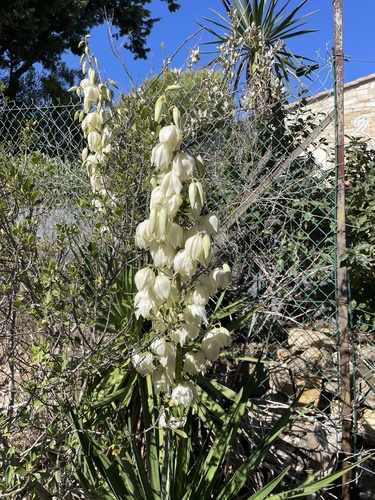
moundlily yucca
Yucca gloriosa
Seen 2026-09-27
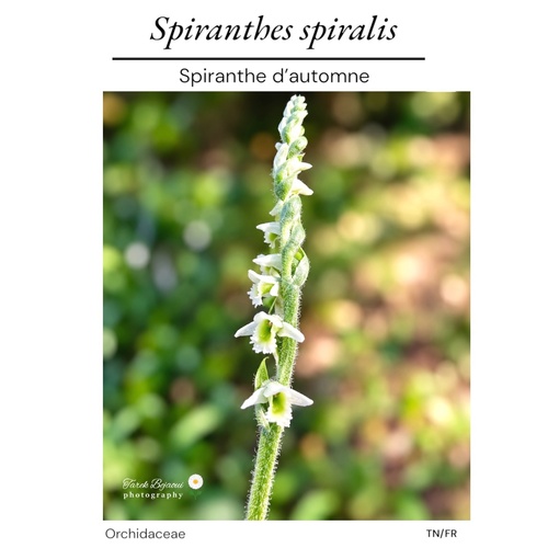
Autumn Ladies' Tresses
Spiranthes spiralis
Seen 2026-09-26
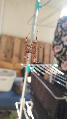
Pale Cross Orbweaver
Araneus pallidus
Seen 2026-09-26
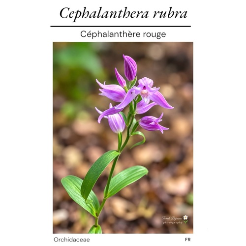
Red Helleborine
Cephalanthera rubra
Seen 2026-09-25
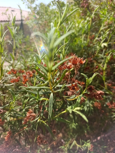
Montpellier Cistus
Cistus monspeliensis
Seen 2026-09-25
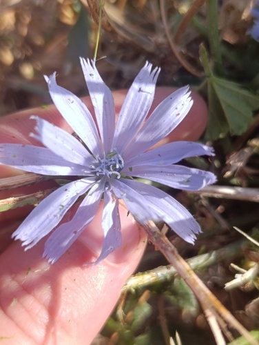
chicory
Cichorium intybus
Seen 2026-09-25
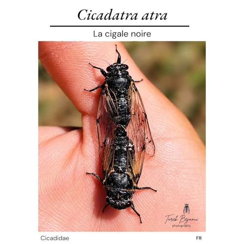
Black Sorrow Cicada
Cicadatra atra
Seen 2026-09-24
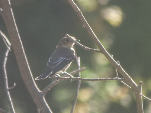
European Pied Flycatcher
Ficedula hypoleuca
Seen 2026-09-22
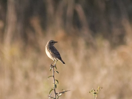
Whinchat
Saxicola rubetra
Seen 2026-09-21
Research-grade observations from iNaturalist (within ~15 mi).
Events
Gallery
Official Identifiers
INSEE — French National Institute of Statistics
- INSEE code
- 83016
- Department
- 83
- Region
- 93
- Population (Wikidata)
- 10,219
geo.api.gouv.fr
Sources
- • Wikipedia
- • Wikidata
- • iNaturalist
- • Open-Meteo / sunrise-sunset.org
- • Wikipedia Pageviews API
- • Wikidata SPARQL (CC0) — population, area, elevation, inception, head of government, Commons image
- • INSEE — French national statistics, via geo.api.gouv.fr (official commune code, population, surface, department, region)
- • INSEE — French National Institute of Statistics — geo.api.gouv.fr