Browse / France / Centre-Val de Loire / Le Boullay-Mivoye
Le Boullay-Mivoye
Centre-Val de Loirevillage

Le Boullay-Mivoye
Total population
514
Demographic figures from INSEE. Overview below cites Wikipedia and may reference a different year.
City facts
Facts from Wikidata (CC0).
Overview
Le Boullay-Mivoye is a commune in the Eure-et-Loir department in northern France.
Read more on WikipediaHistory & geography
History
A standing stone testifies to the existence of human settlement in prehistoric times, and the remains of various farms from the Roman and Gallo-Roman periods have also been found in the vicinity. During the French Revolution there was across France a resurgence of enthusiasm for the Gallo-Roman period, and Le Boullay-Mivoye was for a time called Le Boullay-Brutus.
Geography
The village is positioned on flat land along the RN154 between Dreux and Chartres, a little closer to the former than to the latter.
Excerpted from the corresponding Wikipedia article (CC BY-SA).
Geography
Coordinates & boundaries from the US Census TIGER/Line shapefiles.
Climate
Air quality
Walkability
Amenities nearby
Wildlife & biodiversity
Earthquake history
Photos
Sights & places nearby
Notable people from here
Nearby places in Centre-Val de Loire
- Marville-Moutiers-Brûlé2 mi away · pop. 985
- Tréon4.1 mi away · pop. 1,430
- Sainte-Gemme-Moronval6.2 mi away · pop. 1,094
- Allainville7 mi away · pop. 144
- Boisricheux7.5 mi away
- Pierres8.4 mi away · pop. 2,780
- Le Luat-sur-Vert8.5 mi away
- Boissy-en-Drouais8.6 mi away · pop. 232
- Châteauneuf-en-Thymerais8.7 mi away · pop. 2,620
- Le Plessis-sur-Vert9.2 mi away
- Marchezais9.7 mi away · pop. 406
- Dangers9.9 mi away · pop. 434
Geography & sun
Elevation, sunrise/sunset and daylight from Open-Meteo. Solar climatology from NASA POWER.
Nearby airports
Public attention
Pageview totals from the Wikimedia Pageviews API.
Books about this place
Recent natural events nearby
Ground air-quality sensors
Recently spotted species
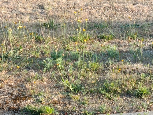
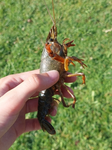
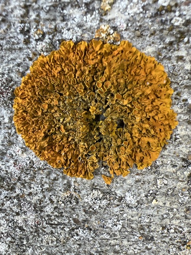
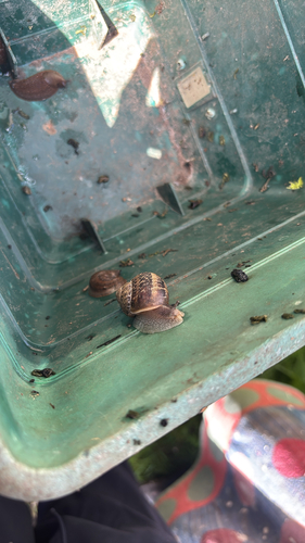
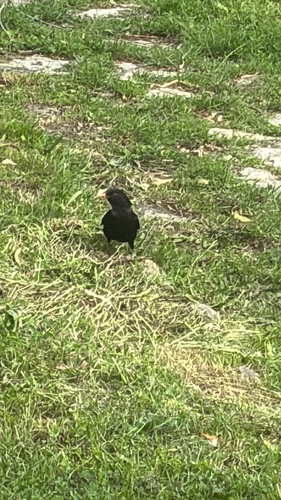
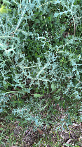
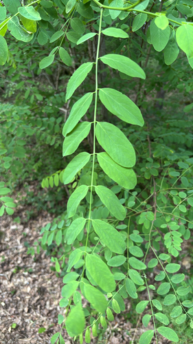
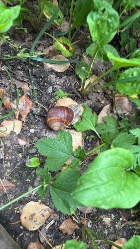
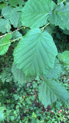
Research-grade observations from iNaturalist (within ~15 mi).
Events
Gallery
Official Identifiers
INSEE — French National Institute of Statistics
- INSEE code
- 28054
- Department
- 28
- Region
- 24
- Population (Wikidata)
- 526
geo.api.gouv.fr
Sources
- • Wikipedia
- • Wikidata
- • iNaturalist
- • Open-Meteo / sunrise-sunset.org
- • Wikipedia Pageviews API
- • INSEE — French national statistics, via geo.api.gouv.fr (official commune code, population, surface, department, region)
- • INSEE — French National Institute of Statistics — geo.api.gouv.fr