Browse / France / Provence-Alpes-Côte d'Azur / Le Cannet
Le Cannet
Provence-Alpes-Côte d'Azurtown

Le Cannet
Total population
41,597
Demographic figures from INSEE. Overview below cites Wikipedia and may reference a different year.
City facts
Facts from Wikidata (CC0).
Overview
Le Cannet is a commune of the Alpes-Maritimes department in southeastern France.
Read more on WikipediaHistory & geography
History
The Hôtel de Ville was completed in 1902.
Excerpted from the corresponding Wikipedia article (CC BY-SA).
Geography
Coordinates & boundaries from the US Census TIGER/Line shapefiles.
Climate
Air quality
Walkability
Amenities nearby
Wildlife & biodiversity
Earthquake history
Photos
Sights & places nearby
Notable people from here


People born within ~10 km, from Wikidata (CC0). Click any name for their Wikipedia article.
Nearby places in Provence-Alpes-Côte d'Azur
- Golfe-Juan2.8 mi away
- Pégomas4.6 mi away · pop. 8,045
- Plascassier5 mi away
- Théoule-sur-Mer6.3 mi away · pop. 1,362
- Opio6.6 mi away · pop. 2,393
- Le Rouret6.8 mi away · pop. 4,157
- Tanneron7.3 mi away · pop. 1,697
- Magagnosc7.7 mi away
- Peymeinade8.5 mi away · pop. 8,256
- Cabris9.1 mi away · pop. 1,393
- Val de Tignet9.5 mi away
- Tourrettes-sur-Loup9.9 mi away · pop. 4,092
Geography & sun
Elevation, sunrise/sunset and daylight from Open-Meteo. Solar climatology from NASA POWER.
Nearby airports
Public attention
Pageview totals from the Wikimedia Pageviews API.
Books about this place
Recent natural events nearby
Ground air-quality sensors
Recently spotted species

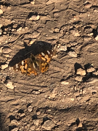
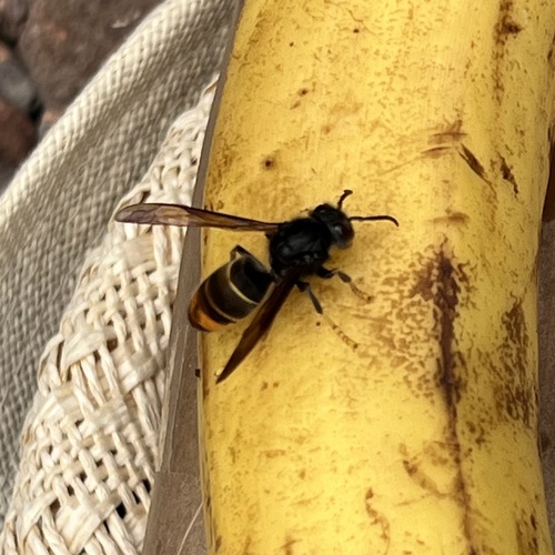
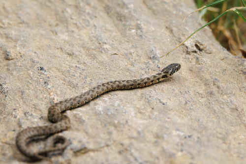
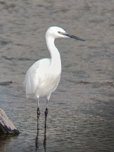
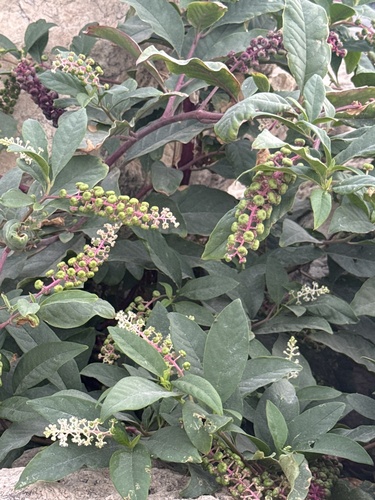
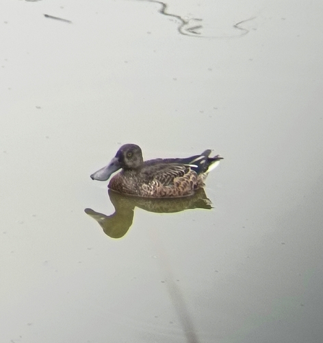
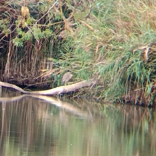
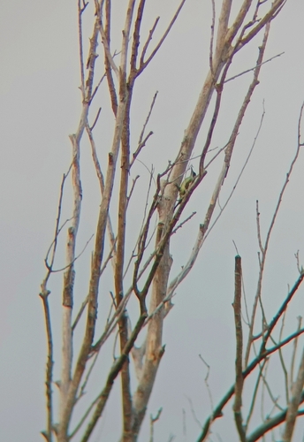
Research-grade observations from iNaturalist (within ~15 mi).
Events
Gallery
Official Identifiers
INSEE — French National Institute of Statistics
- INSEE code
- 06030
- Department
- 06
- Region
- 93
- Population (Wikidata)
- 41,938
geo.api.gouv.fr
Sources
- • Wikipedia
- • Wikidata
- • iNaturalist
- • Open-Meteo / sunrise-sunset.org
- • Wikipedia Pageviews API
- • Wikidata SPARQL (CC0) — population, area, elevation, inception, head of government, Commons image
- • INSEE — French national statistics, via geo.api.gouv.fr (official commune code, population, surface, department, region)
- • INSEE — French National Institute of Statistics — geo.api.gouv.fr