Browse / France / Provence-Alpes-Côte d'Azur / Le Chabret
Le Chabret
Provence-Alpes-Côte d'Azurhamlet
Demographic figures from INSEE. Overview below cites Wikipedia and may reference a different year.
City facts
Overview
Set in Provence-Alpes-Côte d'Azur, France, Le Chabret is recorded in open geodata as a hamlet. No reliable population estimate is published for this entry in the open data we rely on. On the world map it falls within the Eastern Hemisphere, specifically at 44.605°, 6.548°. Based on its temperate position, residents likely encounter four distinct seasons with warm summers and cold winters. Detailed open-data panels follow, covering demographics, climate, geography, wildlife and nearby settlements.
Summary composed automatically from structured open data on this page. See our Terms for details.
History & geography
Geography
Coordinates & boundaries from the US Census TIGER/Line shapefiles.
Climate
Air quality
Walkability
Amenities nearby
Wildlife & biodiversity
Most-observed species
- Yellow GentianGentiana lutea L. · Magnoliopsida627
- Marbled WhiteMelanargia galathea Linnaeus, 1758 · Insecta616
- Cross GentianGentiana cruciata L. · Magnoliopsida493
- Stinking HelleboreHelleborus foetidus L. · Magnoliopsida457
- Common ChaffinchFringilla coelebs Linnaeus, 1758 · Aves419
- Great TitParus major Linnaeus, 1758 · Aves357
- Coal TitPeriparus ater (Linnaeus, 1758) · Aves337
- Chalk-hill BlueLysandra coridon (Poda, 1761) · Insecta332
Citizen-science & research observations from the Global Biodiversity Information Facility (GBIF).
Earthquake history
Most recent
- M 3.9 — 2024-12-098 km WNW of Acceglio, Italy
- M 4.1 — 2023-11-2110 km WSW of Acceglio, Italy
- M 4.1 — 2023-05-1616 km W of Pleyne, Italy
- M 3.3 — 2022-05-026 km SW of Crissolo, Italy
- M 3.2 — 2017-11-1710 km NNE of Saint-Rémy-de-Maurienne, France
- M 2.9 — 2017-04-084 km W of Valdieri, Italy
Events from the USGS Earthquake Catalog (global) (FDSN Event Web Service).
Photos
Sights & places nearby
Notable people from here


People born within ~10 km, from Wikidata (CC0). Click any name for their Wikipedia article.
Geography & sun
Nearby airports
Public attention
Books about this place
Recent natural events nearby
Ground air-quality sensors
Recently spotted species
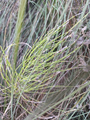
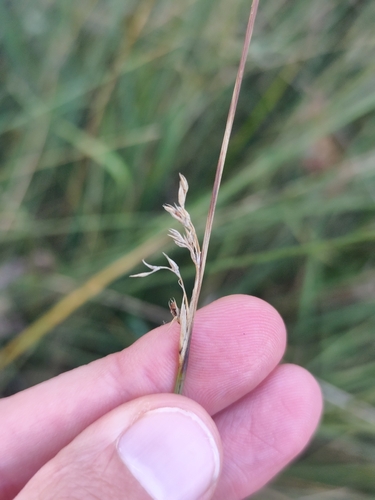
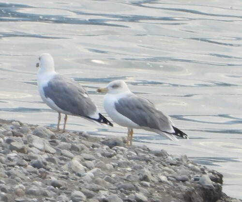
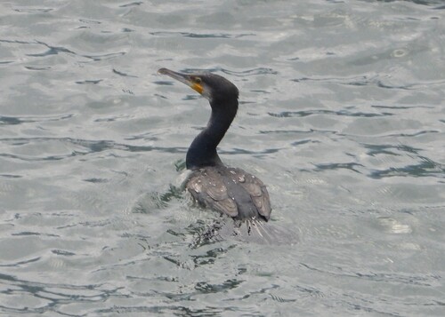
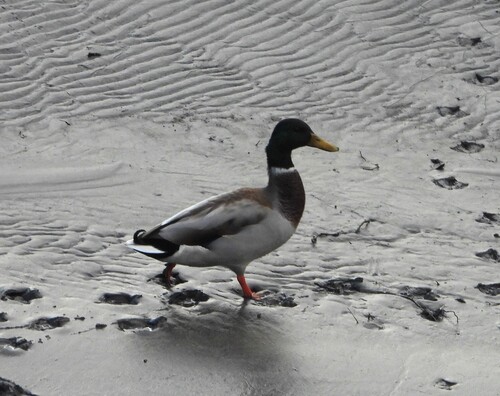
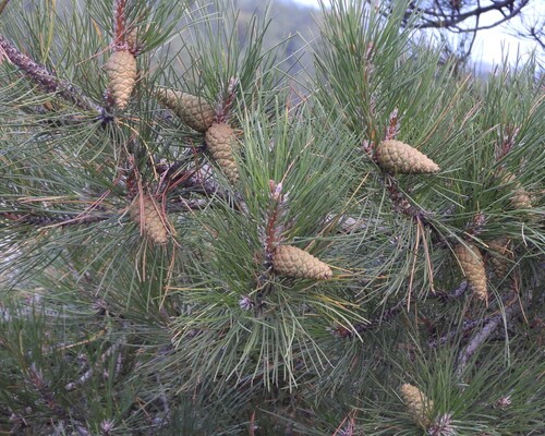
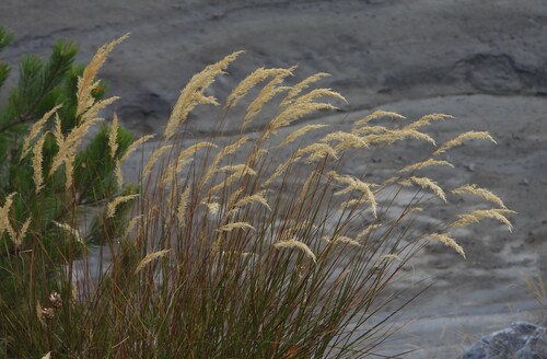
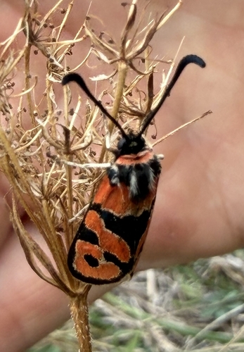
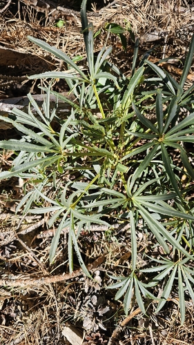
Research-grade observations from iNaturalist (within ~15 mi).
Events
Gallery
Sources
- • Wikidata
- • USGS Earthquake Catalog (global feed)
- • GBIF (Global Biodiversity Information Facility)
- • iNaturalist