Browse / France / Normandie / Le Havre
Le Havre
Normandiecity

Le Havre
Total population
166,058
Demographic figures from INSEE. Overview below cites Wikipedia and may reference a different year.
City facts
Sister cities
Facts from Wikidata (CC0).
Overview
Le Havre is a major port city in the Seine-Maritime department in the Normandy region of northern France. It is situated on the right bank of the estuary of the river Seine on the English Channel southwest of the Pays de Caux, very close to the Prime Meridian. Le Havre is the busiest port on the northern French Coast and largest container port in France. it is the second largest city in the Normandy region of France with total population of the greater Le Havre conurbation being smaller than that of Rouen. It is also the second largest subprefecture in France, after only Reims. The name Le Havre means 'the harbour' or 'the port'. Its inhabitants are known as Havrais (masculine) or Havraises (feminine).
Read more on WikipediaHistory & geography
History
When founded in 1517, the city was named Franciscopolis after Francis I of France. It was subsequently named Le Havre-de-Grâce ("Harbor of Grace"; hence Havre de Grace, Maryland). Its construction was ordered to replace the ancient harbours of Honfleur and Harfleur whose utility had decreased due to silting. The history of the city is inextricably linked to its harbour. In the 18th century, as trade from the West Indies was added to that of France and Europe, Le Havre began to grow. On 19 November 1793, the city changed its name to Hâvre de Marat and later Hâvre-Marat in honor of the recently deceased Jean-Paul Marat, who was seen as a martyr of the French Revolution. By early 1795, however, Marat's memory had become somewhat tarnished, and on 13 January 1795, Hâvre-Marat changed its name once more to simply Le Havre, its modern name. During the 19th century, Le Havre became an industrial center. In the early 19th century it was the most important port for cotton, supplying France, Switzerland, and Germany with cotton imports. Jules Siegfried was member of a Le Havre cotton printers family. Jules Lecesne was a renowned Le Havre cotton importer. At the end of World War I Le Havre had a major role as the transit port used to wind up affairs after the war. The city was devastated during the Battle of Normandy when 5,000 people were killed and 12,000 homes were totally destroyed before its capture in Operation Astonia. Between 1945 and the 1960s, the center was extensively rebuilt to designs of a modernist style by Auguste Perret. {|class="wikitable" |align="center" width="10%"| | width="20%"|Current arms of Le Havre. The salamander is the badge of Francis I; the lion is from the Belgian coat of arms; it replaced a fleur-de-lis in 1926 to remember the Belgian…
Geography
Le Havre is located west of Rouen on the shore of the English Channel and at the mouth of the Seine. Numerous roads link to Le Havre with the main access roads being the A29 autoroute from Amiens and the A13 autoroute from Paris linking to the A131 autoroute. Administratively, Le Havre is a commune in the Normandy region in the west of the department of Seine-Maritime. The urban area of Le Havre corresponds roughly to the territory of the Agglomeration community of Le Havre (CODAH) which includes 17 communes and 250,000 people. It occupies the south-western tip of the natural region of Pays de Caux where it is the largest city. Le Havre is sandwiched between the coast of the Channel from south-west to north-west and the estuary of the Seine to the south. Le Havre belongs to the Paris Basin which was formed in the Mesozoic period. The Paris Basin consists of sedimentary rocks. The commune of Le Havre consists of two areas separated by a natural cliff edge: one part in the lower part of the town to the south including the harbour, the city centre and the suburbs. It was built on former marshland and mudflats that were drained in the 16th century. The soil consists of several metres of alluvium or silt deposited by the Seine. The upper town to the north, is part of the cauchois plateau: the neighbourhood of Dollemard is its highest point (between above sea level). The plateau is covered with a layer of flinty clay and a fertile silt. The bedrock consists of a large thickness of chalk measuring up to deep. Because of the slope the coast is affected by the risk of landslides. Due to its location on the coast of the Channel, the climate of Le Havre is temperate oceanic. Days without wind are rare. There are maritime influences throughout the year. According to the…
Excerpted from the corresponding Wikipedia article (CC BY-SA).
Geography
Coordinates & boundaries from the US Census TIGER/Line shapefiles.
Climate
10-year averages from ERA5 reanalysis (Open-Meteo).
Air quality
Walkability
Amenities nearby
Wildlife & biodiversity
Earthquake history
Photos
Sights & places nearby
Notable people from here


People born within ~10 km, from Wikidata (CC0). Click any name for their Wikipedia article.
Nearby places in Normandie
- Saint-Barthélémy5.1 mi away
- Gonfreville-l'Orcher5.7 mi away · pop. 8,961
- Fontenay5.7 mi away · pop. 1,743
- Villerville6.4 mi away · pop. 591
- Pennedepie6.7 mi away · pop. 315
- Rolleville7.7 mi away · pop. 1,207
- Notre-Dame-du-Bec8.3 mi away · pop. 457
- Oudalle8.6 mi away · pop. 479
- Trouville-sur-Mer8.8 mi away · pop. 4,624
- Sainneville9.1 mi away · pop. 854
- Deauville9.4 mi away · pop. 3,563
- La Rivière-Saint-Sauveur9.5 mi away · pop. 2,535
Geography & sun
Elevation, sunrise/sunset and daylight from Open-Meteo. Solar climatology from NASA POWER.
Nearby airports
Public attention
Pageview totals from the Wikimedia Pageviews API.
Books about Le Havre


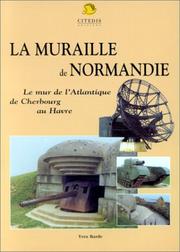
Search results from Open Library.
Recent natural events nearby
Ground air-quality sensors
Recently spotted species
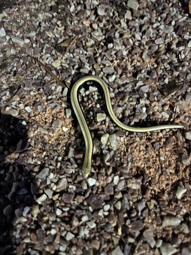

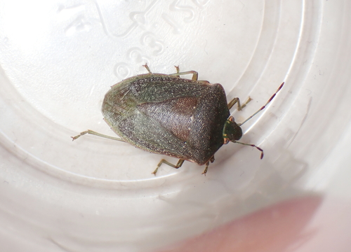
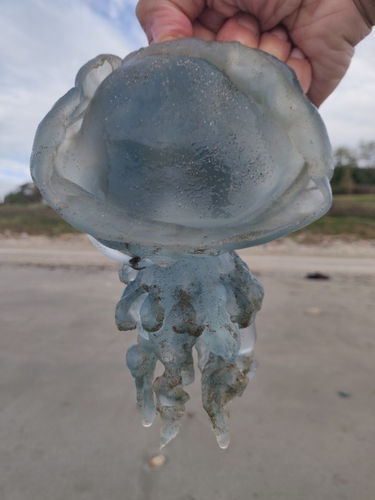
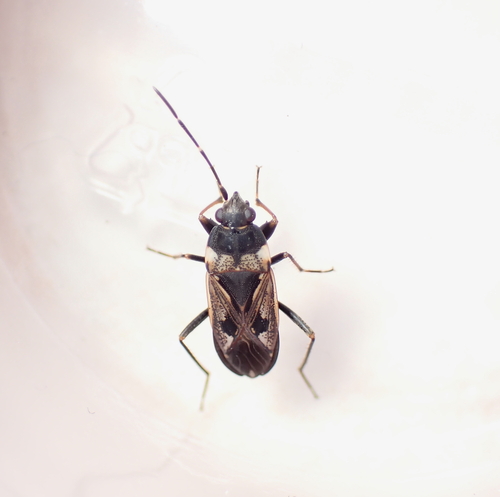

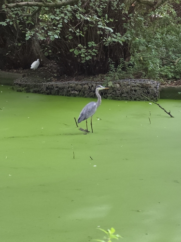
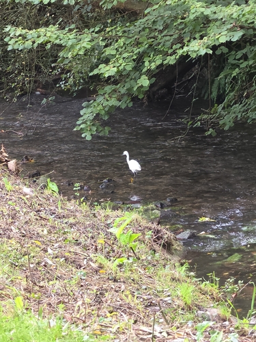
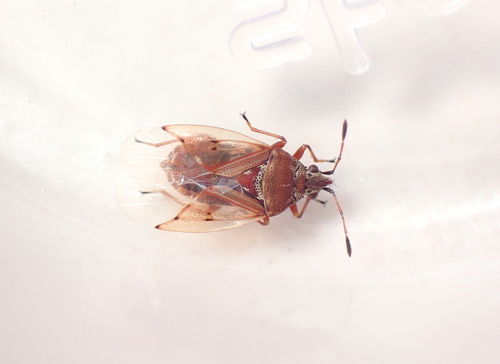
Research-grade observations from iNaturalist (within ~15 mi).
Events
Notable, recurring, and historical events associated with Le Havre, sourced from Wikidata.
- A Summer in Le Havrefestival
Source: Wikidata (CC0).
Gallery
Geotagged photos within ~6 miles of Le Havre, from Wikimedia Commons contributors.
.jpeg)
.jpeg)
.jpeg)
.jpeg)
.jpeg)
.jpeg)
.jpeg)
.jpeg)
.jpeg)
.jpeg)

.jpeg)
.jpeg)
.jpeg)
.jpeg)
.jpeg)
.jpeg)
.jpeg)
.jpeg)
.jpeg)


.jpg)
Photos via Wikimedia Commons — see each image page for license & attribution.
Official Identifiers
INSEE — French National Institute of Statistics
- INSEE code
- 76351
- Department
- 76
- Region
- 28
- Population (Wikidata)
- 166,687
geo.api.gouv.fr
Sources
- • Wikipedia
- • Open-Meteo (ERA5 reanalysis)
- • Wikimedia Commons
- • Wikidata
- • iNaturalist
- • Open-Meteo / sunrise-sunset.org
- • Wikipedia Pageviews API
- • Open Library
- • Wikidata SPARQL (CC0) — population, area, elevation, inception, head of government, Commons image
- • INSEE — French national statistics, via geo.api.gouv.fr (official commune code, population, surface, department, region)
- • INSEE — French National Institute of Statistics — geo.api.gouv.fr