Browse / France / Pays de la Loire / Le Mans
Le Mans
Pays de la Loirecity

Le Mans
Total population
145,004
Demographic figures from INSEE. Overview below cites Wikipedia and may reference a different year.
City facts
Sister cities
Facts from Wikidata (CC0).
Overview
Le Mans is a city in northwestern France on the Sarthe River where it meets the Huisne. Traditionally the capital of the province of Maine, it is now the capital of the Sarthe department and the seat of the Roman Catholic diocese of Le Mans. Le Mans is a part of the Pays de la Loire region.
Read more on WikipediaHistory & geography
History
First mentioned by Claudius Ptolemy, the Roman city Vindinium was the capital of the Aulerci, a sub tribe of the Aedui. Le Mans is also known as Civitas Cenomanorum (City of the Cenomani), or Cenomanus. Their city, seized by the Romans in 47 BC, was within the ancient Roman province of Gallia Lugdunensis. A 3rd-century amphitheatre is still visible. The thermae were demolished during the crisis of the third century when workers were mobilized to build the city's defensive walls. The ancient wall around Le Mans is one of the most complete circuits of Gallo-Roman city walls to survive. As the use of the French language replaced late Vulgar Latin in the area, Cenomanus, with dissimilation, became known as Celmins. Cel- was taken to be a form of the French word for "this" and "that", and was replaced by le, which means "the". As the principal city of Maine, Le Mans was the stage for struggles in the eleventh century between the counts of Anjou and the dukes of Normandy. When the Normans had control of Maine, William the Conqueror successfully invaded England and established an occupation. In 1069 the citizens of Maine revolted and expelled the Normans, resulting in Hugh V being proclaimed count of Maine. Geoffrey V of Anjou married Matilda of England in the cathedral. Their son Henry II Plantagenet, king of England, was born in the town. In the 13th century Le Mans came under the control of the French crown. It was subsequently invaded by England during the Hundred Years' War. Industrialization took place in the 19th century which saw the development of railway and motor vehicle production as well as textiles and tobacco manufacture. Just outside Le Mans city centre there used to be an airfield, built to protect the Renault factory. Soon after Le Mans was liberated…
Excerpted from the corresponding Wikipedia article (CC BY-SA).
Geography
Coordinates & boundaries from the US Census TIGER/Line shapefiles.
Climate
Air quality
Walkability
Amenities nearby
Wildlife & biodiversity
Most-observed species
- Great TitParus major Linnaeus, 1758 · Aves1,800
- European RobinErithacus rubecula (Linnaeus, 1758) · Aves1,709
- Eurasian Blue TitCyanistes caeruleus (Linnaeus, 1758) · Aves1,647
- Eurasian BlackbirdTurdus merula Linnaeus, 1758 · Aves1,560
- Common ChaffinchFringilla coelebs Linnaeus, 1758 · Aves1,530
- Common Wood-PigeonColumba palumbus Linnaeus, 1758 · Aves1,445
- Eurasian MagpiePica pica (Linnaeus, 1758) · Aves1,333
- Eurasian Collared-DoveStreptopelia decaocto (Frivaldszky, 1838) · Aves1,241
Citizen-science & research observations from the Global Biodiversity Information Facility (GBIF).
Earthquake history
Most recent
- M 2.5 — 2008-09-192 km NNE of Montigné-le-Brillant, France
- M 2.5 — 2008-09-181 km W of Ambillou, France
- M 3 — 2008-06-073 km ENE of Cangey, France
- M 2.7 — 2008-01-312 km SE of Saint-Berthevin, France
- M 3 — 2007-12-173 km W of Chaumont-sur-Loire, France
- M 3.4 — 2007-12-173 km W of Chaumont-sur-Loire, France
Events from the USGS Earthquake Catalog (global) (FDSN Event Web Service).
Photos
Sights & places nearby
Notable people from here


People born within ~10 km, from Wikidata (CC0). Click any name for their Wikipedia article.
Nearby places in Pays de la Loire
- Neuville-sur-Sarthe4.7 mi away · pop. 2,462
- La Trugalle4.7 mi away
- La Bazoge6.6 mi away · pop. 3,699
- La Guierche7.3 mi away · pop. 1,231
- La Chapelle-Saint-Fray8.9 mi away · pop. 421
- Souligné-sous-Ballon9.2 mi away · pop. 1,238
- Montbizot9.5 mi away · pop. 1,826
- Parigné-l'Évêque9.8 mi away · pop. 5,365
- Sillé-le-Philippe9.9 mi away · pop. 1,073
- Saint-Julien-le-Pauvre10.1 mi away
- La Suze-sur-Sarthe11.3 mi away · pop. 4,563
- Ballon11.7 mi away · pop. 2,266
Geography & sun
Elevation, sunrise/sunset and daylight from Open-Meteo. Solar climatology from NASA POWER.
Nearby airports
Public attention
Pageview totals from the Wikimedia Pageviews API.
Books about Le Mans

Search results from Open Library.
Recent natural events nearby
Ground air-quality sensors
Recently spotted species
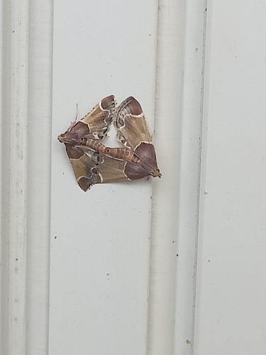
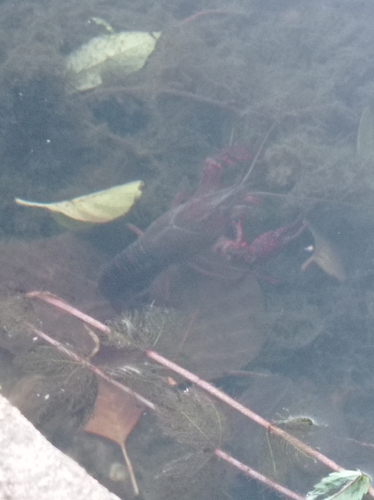
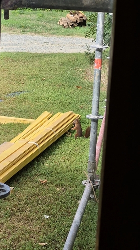
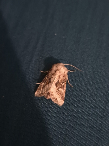
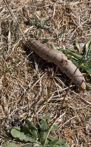
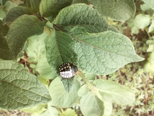
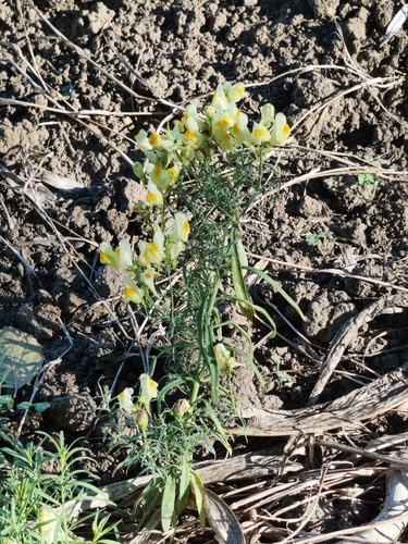
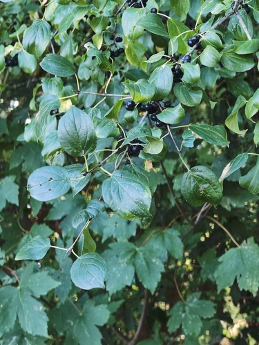
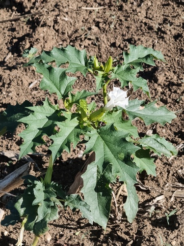
Research-grade observations from iNaturalist (within ~15 mi).
Events
Notable, recurring, and historical events associated with Le Mans, sourced from Wikidata.
- Tribute to Paul Varry in Le MansOct 19, 2024demonstration
gathering on 19 October 2024 in tribute to cyclist Paul Varry
- Q109314808recurring event
- Q16034457festival
Source: Wikidata (CC0).
Gallery
Geotagged photos within ~6 miles of Le Mans, from Wikimedia Commons contributors.


_Maison_au_63_Grande_Rue_-_Ext%C3%A9rieur_-_01.jpg)
Photos via Wikimedia Commons — see each image page for license & attribution.
Official Identifiers
INSEE — French National Institute of Statistics
- INSEE code
- 72181
- Department
- 72
- Region
- 52
- Population (Wikidata)
- 146,249
geo.api.gouv.fr
Sources
- • Wikipedia
- • Wikimedia Commons
- • Wikidata
- • USGS Earthquake Catalog (global feed)
- • GBIF (Global Biodiversity Information Facility)
- • iNaturalist
- • Open-Meteo / sunrise-sunset.org
- • Wikipedia Pageviews API
- • Open Library
- • Wikidata SPARQL (CC0) — population, area, elevation, inception, head of government, Commons image
- • INSEE — French national statistics, via geo.api.gouv.fr (official commune code, population, surface, department, region)
- • INSEE — French National Institute of Statistics — geo.api.gouv.fr