Browse / France / Provence-Alpes-Côte d'Azur / Le Sauze-du-Lac
Le Sauze-du-Lac
Provence-Alpes-Côte d'Azurvillage

Le Sauze-du-Lac
Total population
153
Air quality index
Demographic figures from INSEE. Overview below cites Wikipedia and may reference a different year.
City facts
Facts from Wikidata (CC0).
Overview
Le Sauze-du-Lac is a commune in the Hautes-Alpes department in southeastern France.
Read more on WikipediaHistory & geography
History
Le Sauze du Lac, previously just Le Sauze, is located above the Lac de Serre Poncon. The village was moved after its original site was flooded by the lake in the early 1960s.
Geography
Situated below the Pic du Morgon mountain, Le Sauze du Lac lies on a promontory sticking out between the two sides of the Lac de Serre-Ponçon. This used to be the meeting point, or confluence, of the Ubaye and Durance rivers. The village is located 9.1km south east of Savines-le-Lac, and 20.6km from the capital of the departement, Gap, Hautes-Alpes.
Excerpted from the corresponding Wikipedia article (CC BY-SA).
Geography
Coordinates & boundaries from the US Census TIGER/Line shapefiles.
Climate
Air quality
Current readings from Open-Meteo Air Quality API (Copernicus CAMS European reanalysis).
Walkability
Amenities nearby
Wildlife & biodiversity
Most-observed species
- Stinking HelleboreHelleborus foetidus L. · Magnoliopsida566
- Great TitParus major Linnaeus, 1758 · Aves541
- Common ChaffinchFringilla coelebs Linnaeus, 1758 · Aves471
- Eurasian Blue TitCyanistes caeruleus (Linnaeus, 1758) · Aves427
- House SparrowPasser domesticus (Linnaeus, 1758) · Aves427
- Marbled WhiteMelanargia galathea Linnaeus, 1758 · Insecta396
- European RobinErithacus rubecula (Linnaeus, 1758) · Aves372
- Eurasian BlackbirdTurdus merula Linnaeus, 1758 · Aves341
Citizen-science & research observations from the Global Biodiversity Information Facility (GBIF).
Earthquake history
Most recent
- M 3.9 — 2024-12-098 km WNW of Acceglio, Italy
- M 4.1 — 2023-11-2110 km WSW of Acceglio, Italy
- M 4.1 — 2023-05-1616 km W of Pleyne, Italy
- M 3.3 — 2022-05-026 km SW of Crissolo, Italy
- M 2.9 — 2017-04-084 km W of Valdieri, Italy
- M 4.2 — 2016-07-300 km SSW of Fleccia-Chianavasso, Italy
Events from the USGS Earthquake Catalog (global) (FDSN Event Web Service).
Photos
Sights & places nearby
Notable people from here
Nearby places in Provence-Alpes-Côte d'Azur
- Pontis2.7 mi away · pop. 95
- Le Fein3.4 mi away
- Pra Périer4.5 mi away
- L'Église (Prunières)4.5 mi away
- Chorges5 mi away · pop. 3,065
- Montgardin6.2 mi away · pop. 478
- Le Sarruchet6.3 mi away
- Les Champsaurs6.5 mi away
- Les Cesaris7.7 mi away
- Puy-Saint-Eusèbe7.8 mi away · pop. 185
- Puy-Sanières8 mi away · pop. 274
- Crots8.6 mi away · pop. 1,136
Geography & sun
Elevation, sunrise/sunset and daylight from Open-Meteo. Solar climatology from NASA POWER.
Nearby airports
Public attention
Pageview totals from the Wikimedia Pageviews API.
Books about this place
Recent natural events nearby
Ground air-quality sensors
Recently spotted species
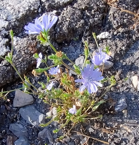
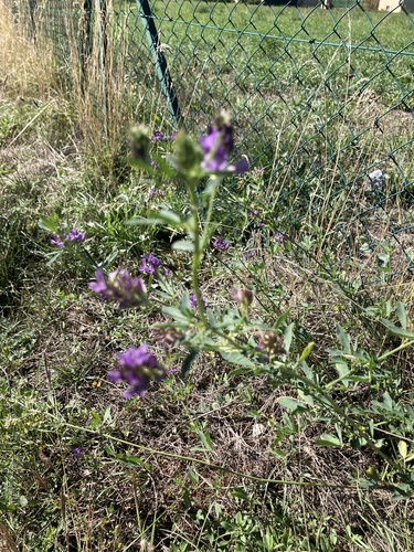
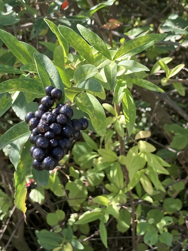
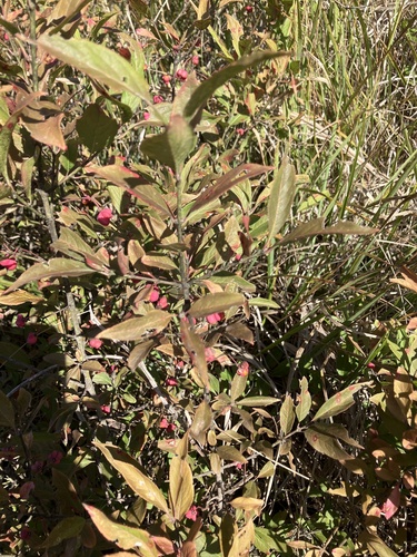
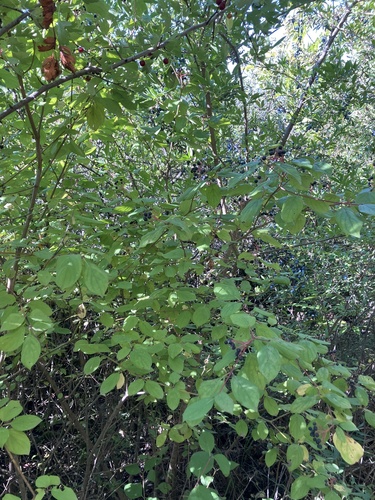
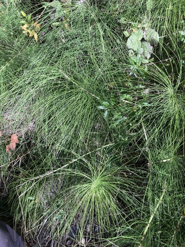
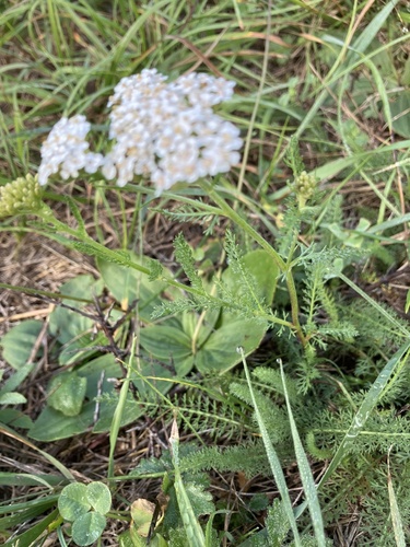
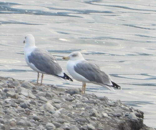
Research-grade observations from iNaturalist (within ~15 mi).
Events
Gallery
Official Identifiers
INSEE — French National Institute of Statistics
- INSEE code
- 05163
- Department
- 05
- Region
- 93
- Population (Wikidata)
- 159
geo.api.gouv.fr
Sources
- • Wikipedia
- • Wikidata
- • Open-Meteo Air Quality (CAMS)
- • USGS Earthquake Catalog (global feed)
- • GBIF (Global Biodiversity Information Facility)
- • iNaturalist
- • Open-Meteo / sunrise-sunset.org
- • Wikipedia Pageviews API
- • INSEE — French national statistics, via geo.api.gouv.fr (official commune code, population, surface, department, region)
- • INSEE — French National Institute of Statistics — geo.api.gouv.fr