Browse / France / Nouvelle-Aquitaine / Le Verdon-sur-Mer
Le Verdon-sur-Mer
Nouvelle-Aquitainevillage

Le Verdon-sur-Mer
Total population
1,369
Demographic figures from INSEE. Overview below cites Wikipedia and may reference a different year.
City facts
Facts from Wikidata (CC0).
Overview
Le Verdon-sur-Mer is a commune in the Gironde department in Nouvelle-Aquitaine in southwestern France.
Read more on WikipediaHistory & geography
History
In the 11th century, the territory housed the priory of Saint-Nicholas de Grave, dependent on Cluny. It housed the monks in charge of maintaining the fire of Cordouan, off the mouth of the estuary. The priory is buried under the sands for an indefinite period. Until 1874, the town was dependent on the commune of Soulac. This year was also the year of the construction of the Bordeaux-Le Verdon railway line which would open up the town and envisage a future port. The railway line started from Bordeaux in 1868 and did not reach the town until 1875, with the Point de Grave being reached in 1902. Le Verdon was initially only a hamlet of Soulac which was a distance from Bourg, which had lived off salt production for a long period of time. The other main activities of the village are the exploitation of resources linked to the sea (fishing, oysters, shellfish, etc.) as well as subsistence farming. Since the Middle Ages, Le Verdon has been known for its harbor, which is sheltered from prevailing westerly winds. Ships that leave the Gironde estuary park at the harbor before setting sail.
Excerpted from the corresponding Wikipedia article (CC BY-SA).
Geography
Coordinates & boundaries from the US Census TIGER/Line shapefiles.
Climate
Air quality
Walkability
Amenities nearby
Wildlife & biodiversity
Earthquake history
Photos
Sights & places nearby
Notable people from here
Geography & sun
Nearby airports
Public attention
Books about this place
Recent natural events nearby
Ground air-quality sensors
Recently spotted species

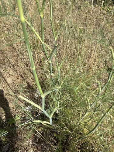
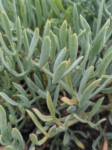




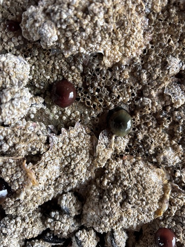

Research-grade observations from iNaturalist (within ~15 mi).
Events
Gallery
Official Identifiers
INSEE — French National Institute of Statistics
- INSEE code
- 33544
- Department
- 33
- Region
- 75
- Population (Wikidata)
- 1,408
geo.api.gouv.fr
Sources
- • Wikipedia
- • Wikidata
- • iNaturalist
- • INSEE — French national statistics, via geo.api.gouv.fr (official commune code, population, surface, department, region)
- • INSEE — French National Institute of Statistics — geo.api.gouv.fr