Browse / France / Île-de-France / Les Clayes-sous-Bois
Les Clayes-sous-Bois
Île-de-Francetown

Les Clayes-sous-Bois
Total population
17,237
Demographic figures from INSEE. Overview below cites Wikipedia and may reference a different year.
City facts
Sister cities
Facts from Wikidata (CC0).
Overview
Les Clayes-sous-Bois is a commune in the Yvelines department in the Île-de-France region in north-central France. It is located in the western suburbs of Paris 26.7 km (16.6 mi) from the center.
Read more on WikipediaHistory & geography
History
Prehistoric elements such as carved axes and bronze bracelets have been discovered on the site of Les Clayes and are now exhibited in the national archaeology museum of Saint-Germain-en-Laye, testifying its occupation since prehistoric times. A stone path, of which there are still vestiges, passed through the village. It is nowadays the "Chemin aux Bœufs" ( the Oxen Road) . As its name indicates, this secondary road was used for cattle transport from Normandy; the animals were then inspected in Chavenay and put on sale at the Poissy and Saint-Germain-en-Laye markets . In the Middle Ages, the partition of the territory of the old Roman Empire began, giving rise to fiefdoms ruled by lords; in exchange for the protection of the latter, the peasants could cultivate their lands in security. At the beginning of the 12th century, the lands of Clais (old name of the city) belonged to Simon de Cloyes. In 1118, he had a castle built near the church. The church was built on the upper part of the village under the reign of Philip I . Excavations carried out in 1875 during the construction of the enclosing wall of the Saint-Martin cemetery revealed a forgotten cellar that belonged to the castle. In 1160, the bishop of Chartres, Robert III, assign the parish of Les Clayes to the abbey of Saint-Cyr, which was confirmed by Pope Alexander III in a bull three years later. In 1357, the troops of the King of Navarre, Charles le Mauvais, settled for three months in the villages of Les Clayes, Villepreux and Trappes, plundering the parishes. A battle between the French royal troops and those of the King of Navarre took place east of the village, in a valley known as "Près Bataille" (Before Battle). In 1360, the king's squire Pierre Potel had a seigniorial hotel built in the south of…
Geography
The commune of Les Clayes-sous-Bois is located about 14 km from Versailles and 30 km from Paris, in the southwest of the Versailles plain. The commune is highly urbanized, with mostly single-family housing, except for the southern part of the commune, which is covered by a part of the Bois-d'Arcy forest. It borders the cities of Chavenay, Villepreux, Bois-d'Arcy, Trappes and Plaisir. The commune is irrigated in the South by the Maldroit river, a tributary of the Mauldre. It is located entirely in the Mauldre watershed, managed since 1992 by the COBAHMA, under the aegis of the Yvelines General Council, and for which a water development and management plan (SAGE) has been implemented. However, it is partially in the Maldroit sub-basin (south and west) and for the rest (north-east) in the rivulet de Gally sub-basin, although not crossed by the rivulet itself.
Excerpted from the corresponding Wikipedia article (CC BY-SA).
Geography
Coordinates & boundaries from the US Census TIGER/Line shapefiles.
Climate
Air quality
Walkability
Amenities nearby
Wildlife & biodiversity
Earthquake history
Photos
Sights & places nearby
Notable people from here
Nearby places in Île-de-France
- Plaisir1.8 mi away · pop. 31,375
- Bois-d'Arcy2.2 mi away · pop. 15,435
- Grignon2.6 mi away
- Feucherolles3.6 mi away · pop. 3,020
- Bailly4.4 mi away · pop. 3,650
- Coignières5.7 mi away · pop. 4,377
- Aigremont5.9 mi away · pop. 1,083
- Le Chesnay-Rocquencourt6.2 mi away · pop. 31,057
- Bazoches-sur-Guyonne6.5 mi away · pop. 674
- Versailles6.5 mi away · pop. 83,587
- Orgeval6.7 mi away · pop. 6,948
- Montainville7.1 mi away · pop. 531
Geography & sun
Nearby airports
Public attention
Books about this place
Recent natural events nearby
Ground air-quality sensors
Recently spotted species
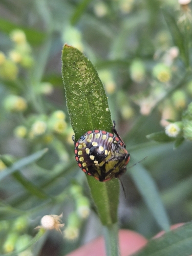
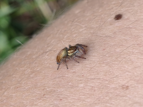
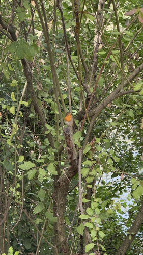
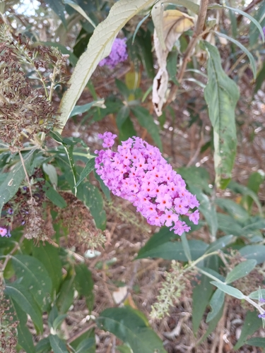
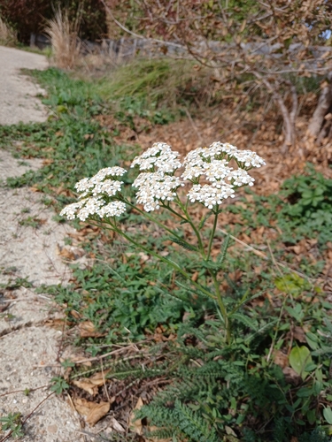
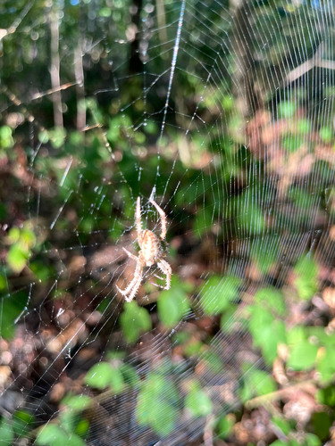
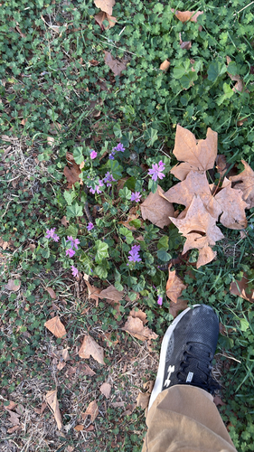
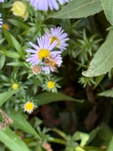
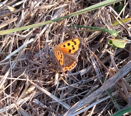
Research-grade observations from iNaturalist (within ~15 mi).
Events
Gallery
Official Identifiers
INSEE — French National Institute of Statistics
- INSEE code
- 78165
- Department
- 78
- Region
- 11
- Population (Wikidata)
- 16,804
geo.api.gouv.fr
Sources
- • Wikipedia
- • Wikidata
- • iNaturalist
- • Wikidata SPARQL (CC0) — population, area, elevation, inception, head of government, Commons image
- • INSEE — French national statistics, via geo.api.gouv.fr (official commune code, population, surface, department, region)
- • INSEE — French National Institute of Statistics — geo.api.gouv.fr