Browse / France / Île-de-France / Les Ulis
Les Ulis
Île-de-Francetown

Les Ulis
Total population
25,253
Founded
1977
Demographic figures from INSEE. Overview below cites Wikipedia and may reference a different year.
City facts
Sister cities
Facts from Wikidata (CC0).
Overview
Les Ulis is a commune in the Essonne department, 23 km (14 mi) from the centre of Paris, France. A planned community, it comprises outer suburbs (banlieues) built in the 1970s on the southwestern edge of the Paris metropolitan area. As of 2023, the population of the commune was 25,886.
Read more on WikipediaHistory & geography
History
The discovery in 1977 of Bronze Age tools in the neighbouring town of Villejust suggests the possibility of pre-historic human occupation of the area that is today Les Ulis. During the Roman era, villas rustica occupied the Courtabœuf plateau. One, the "Villa Bona" gives its name to nearby Villebon-sur-Yvette. A number were constructed by a property owner named Uslo, whose name might conceivably be connected to that of Les Ulis. It is also possible that the name is related to the Old French usler, meaning to raze by fire. The area was at one time wooded, but was cleared during the Middle Ages. The name "Ullys" is first recorded as that of a feudal fee in a monastic inventory of 1382. In 1712, this land is recorded as belonging to Charles Boucher, an important Parisian civil servant. In 1767, it was transferred to Count Pierre Gaspard Marie Grimod d'Orsay. A significant farm of 160 hectares, the Grand Vivier, occupied much of the land. It raised cattle and sheep and cultivated wheat, potato, strawberry and beet. There was also a distillery on the land. The Ligne de Sceaux railway opened in 1867, passing just to the west of the present-day town. The development of the Courtabœuf industrial park was decided on in 1960, accompanied on 30 November that year by a decision to create a priority development zone for ten thousand homes to sit alongside it. 265 hectares of land comprising four farms, previously belonging to the communes of Bures-sur-Yvette and Orsay, were set aside for this housing project. On 13 March 1964, an urban district of Bures-Orsay was established to oversee the development of the area. Road and utilities for the industrial zone were completed by July 1966, with the first business, AtoChem (part of what is now Total S.A.), moving in the following…
Geography
The town is laid out in the form of a U, approximately three kilometres by two kilometres, and covers 680 hectares. Over 65% of the area is built-up, 17% is semi-rural, and 16% is either rural or comprises communal green space. The French Institut Géographique National gives the co-ordinates of the town as 48°40'56" N and 02°10'03" E at the central point. The source of the minor river Rouillon (river) is in the neighbouring town of Villejust, close to the communal border. The lowest point of the town, at the point where it meets Bures-sur-Yvette, is at an altitude of 87m. Most of the town is situated at an average altitude of over 150m. Its highest point is at 170m. The land on which it is built consists of clay, sand, and millstone. The town is divided into distinct neighbourhoods by the main roads running through it. To the east is a large industrial zone. To the west is the residential area, a large part of which consists of 33 HLM tower blocks, grouped into four neighbourhoods. The town was conceived and built in the 1970s according to the precepts of Le Corbusier by architects Robert Camelot, François Prieur and Georges-Henri Pingusson. Its tower blocks are raised on slabs so that they are accessed above street level by means of pedestrian walkways. The town incorporates a large urban park, to the north.
Excerpted from the corresponding Wikipedia article (CC BY-SA).
Geography
Coordinates & boundaries from the US Census TIGER/Line shapefiles.
Climate
Air quality
Walkability
Amenities nearby
Wildlife & biodiversity
Earthquake history
Photos
Sights & places nearby
Notable people from here


People born within ~10 km, from Wikidata (CC0). Click any name for their Wikipedia article.
Geography & sun
Elevation, sunrise/sunset and daylight from Open-Meteo. Solar climatology from NASA POWER.
Nearby airports
Public attention
Pageview totals from the Wikimedia Pageviews API.
Books about Les Ulis
Search results from Open Library.
Recent natural events nearby
Ground air-quality sensors
Recently spotted species
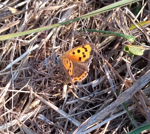
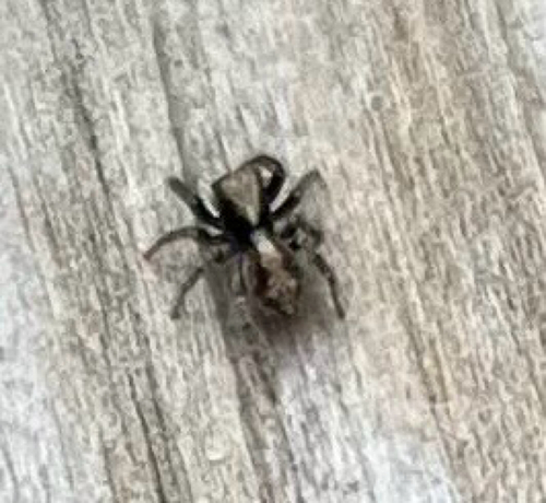
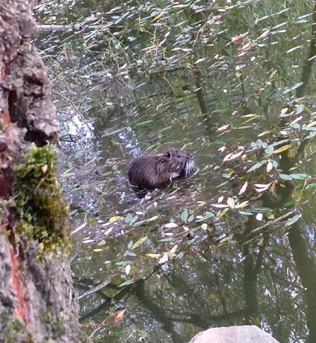
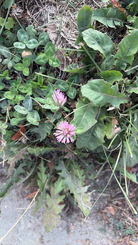
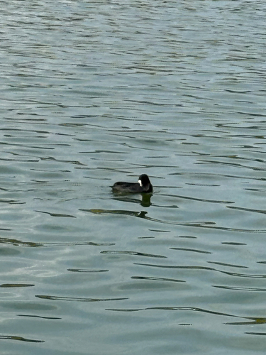
Research-grade observations from iNaturalist (within ~15 mi).
Events
Gallery
Official Identifiers
INSEE — French National Institute of Statistics
- INSEE code
- 91692
- Department
- 91
- Region
- 11
- Population (Wikidata)
- 25,886
geo.api.gouv.fr
Sources
- • Wikipedia
- • Wikidata
- • iNaturalist
- • Open-Meteo / sunrise-sunset.org
- • Wikipedia Pageviews API
- • Open Library
- • Wikidata SPARQL (CC0) — population, area, elevation, inception, head of government, Commons image
- • INSEE — French national statistics, via geo.api.gouv.fr (official commune code, population, surface, department, region)
- • INSEE — French National Institute of Statistics — geo.api.gouv.fr