Browse / France / Hauts-de-France / Lille
Lille
Hauts-de-Francecity

Lille
Total population
236,710
Air quality index
Demographic figures from INSEE. Overview below cites Wikipedia and may reference a different year.
City facts
Sister cities
Facts from Wikidata (CC0).
Overview
Lille is a city in the northern part of France, within French Flanders. Positioned along the Deûle river, near France's border with Belgium, it is the capital of the Hauts-de-France region, the prefecture of the Nord department, and the main city of the European Metropolis of Lille. It is also the seat of the European Union Customs Authority.
Read more on WikipediaHistory & geography
History
Archeological digs seem to show the area as inhabited by as early as 2000 BC, most notably in the modern quartiers of Fives, Wazemmes and Vieux Lille. The original inhabitants of the region were the Gauls, such as the Menapians, the Morins, the Atrebates and the Nervians, who were followed by Germanic peoples: the Saxons, the Frisians and the Franks. The legend of "Lydéric and Phinaert" puts the foundation of the city of Lille at 640. In the 8th century, the language of Old Low Franconian was spoken, as attested by toponymic research. Lille's Dutch name is Rijsel, which comes from ter ijsel (at the island) from Middle Dutch ijssel ("small island, islet"), calque of Old French l'Isle ("the Island"), itself from Latin Īnsula, from īnsula ("island"). From 830 to around 910, the Vikings invaded Flanders. After the destruction caused by Normans' and the Magyars' invasion, the eastern part of the region was ruled by various local princes. The first mention of the town dates from 1066: apud Insulam (Latin for "at the island"). It was then controlled by the County of Flanders, as were the regional cities (the Roman cities Boulogne, Arras, Cambrai as well as the Carolingian cities Valenciennes, Saint-Omer, Ghent and Bruges). The County of Flanders thus extended to the left bank of the Scheldt, one of the richest and most prosperous regions of Europe. The Carolingian duke Évrard lived in the city in the 9th century and participated in many of the day's political and military affairs. There was an important Battle of Lille in 1054. Raimbert of Lille (fl. c. 1100) was an early nominalist who taught at Lille. From the 12th century, the fame of the Lille cloth fair began to grow. In 1144 Saint-Sauveur parish was formed, which would give its name to the modern-day quartier…
Excerpted from the corresponding Wikipedia article (CC BY-SA).
Geography
Coordinates & boundaries from the US Census TIGER/Line shapefiles.
Climate
Air quality
Current readings from Open-Meteo Air Quality API (Copernicus CAMS European reanalysis).
Walkability
Amenities nearby
Wildlife & biodiversity
Most-observed species
- Bee OrchidOphrys apifera Huds. · Liliopsida4,957
- Eurasian BlackbirdTurdus merula Linnaeus, 1758 · Aves3,537
- Common Wood-PigeonColumba palumbus Linnaeus, 1758 · Aves3,453
- Eurasian MagpiePica pica (Linnaeus, 1758) · Aves3,351
- Great TitParus major Linnaeus, 1758 · Aves3,232
- Common ChaffinchFringilla coelebs Linnaeus, 1758 · Aves2,706
- European RobinErithacus rubecula (Linnaeus, 1758) · Aves2,641
- Eurasian Blue TitCyanistes caeruleus (Linnaeus, 1758) · Aves2,582
Citizen-science & research observations from the Global Biodiversity Information Facility (GBIF).
Earthquake history
Most recent
- M 2.6 — 2008-08-081 km SSE of Boussu, Belgium
- M 3.2 — 2008-07-141 km SW of Boussu, Belgium
- M 3.1 — 2005-02-271 km NW of Libercourt, France
- M 2.5 — 2004-10-030 km ESE of Maubray, Belgium
- M 2.7 — 2002-04-300 km SSE of Waudrez, Belgium
Events from the USGS Earthquake Catalog (global) (FDSN Event Web Service).
Photos
Sights & places nearby
Notable people from here


People born within ~10 km, from Wikidata (CC0). Click any name for their Wikipedia article.
Nearby places in Hauts-de-France
- Pérenchies4.5 mi away · pop. 8,519
- Santes5.4 mi away · pop. 5,660
- Tressin5.8 mi away · pop. 1,395
- Quesnoy-sur-Deûle5.9 mi away · pop. 6,920
- Anstaing5.9 mi away · pop. 1,601
- Escobecques5.9 mi away · pop. 303
- Radinghem-en-Weppes7 mi away · pop. 1,393
- Ennevelin7.2 mi away · pop. 2,356
- Deûlémont8.5 mi away · pop. 1,819
- Tourmignies9.2 mi away · pop. 947
- Wannehain10 mi away · pop. 1,331
- Provin10.7 mi away · pop. 4,469
Geography & sun
Elevation, sunrise/sunset and daylight from Open-Meteo. Solar climatology from NASA POWER.
Nearby airports
Public attention
Pageview totals from the Wikimedia Pageviews API.
Books about Lille
Search results from Open Library.
Recent natural events nearby
Ground air-quality sensors
Recently spotted species
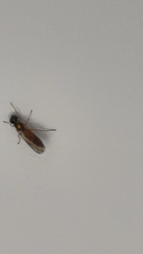
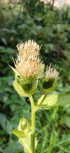
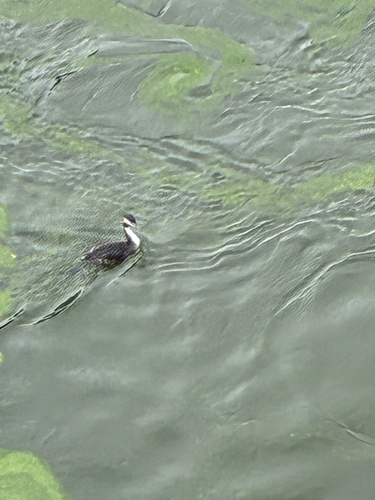
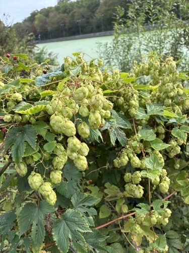
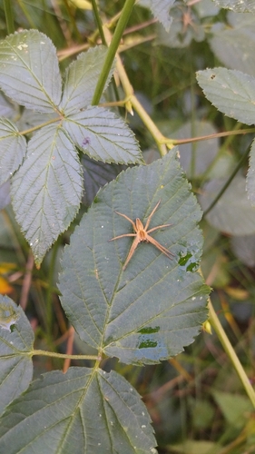
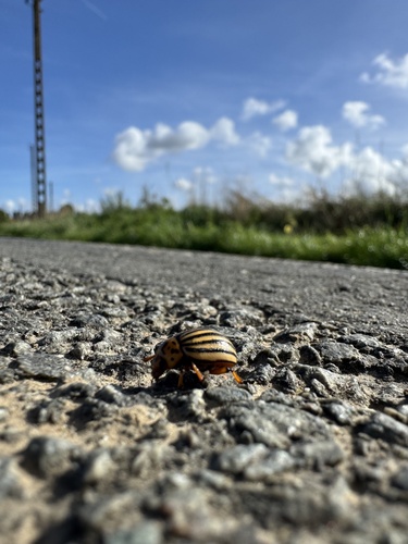
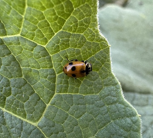
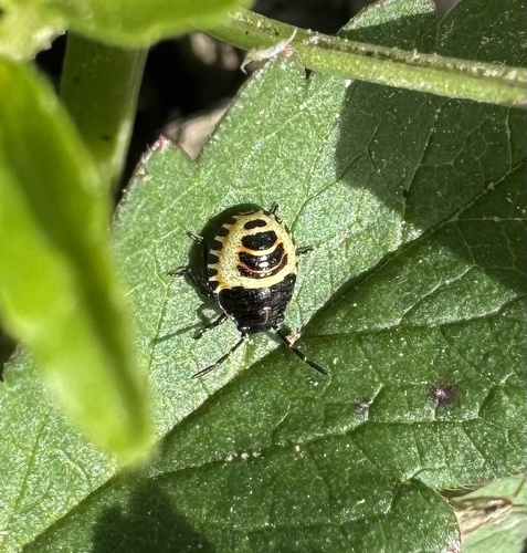
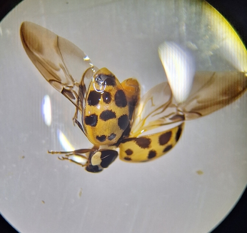
Research-grade observations from iNaturalist (within ~15 mi).
Events
Notable, recurring, and historical events associated with Lille, sourced from Wikidata.
- Q2816910Jan 1, 1956recurring event edition
Source: Wikidata (CC0).
Gallery
Geotagged photos within ~6 miles of Lille, from Wikimedia Commons contributors.


.JPG)
.JPG)
.jpg)


_-_IMG_6844_(15978070509).jpg)
.jpg)

.jpg)

.jpg)
.jpg)

Photos via Wikimedia Commons — see each image page for license & attribution.
Official Identifiers
INSEE — French National Institute of Statistics
- INSEE code
- 59350
- Department
- 59
- Region
- 32
- Population (Wikidata)
- 238,246
geo.api.gouv.fr
Sources
- • Wikipedia
- • Wikimedia Commons
- • Wikidata
- • Open-Meteo Air Quality (CAMS)
- • USGS Earthquake Catalog (global feed)
- • GBIF (Global Biodiversity Information Facility)
- • iNaturalist
- • Open-Meteo / sunrise-sunset.org
- • Wikipedia Pageviews API
- • Open Library
- • Wikidata SPARQL (CC0) — population, area, elevation, inception, head of government, Commons image
- • INSEE — French national statistics, via geo.api.gouv.fr (official commune code, population, surface, department, region)
- • INSEE — French National Institute of Statistics — geo.api.gouv.fr