Browse / France / Hauts-de-France / Lillers
Lillers
Hauts-de-Francetown

Lillers
Total population
9,988
Demographic figures from INSEE. Overview below cites Wikipedia and may reference a different year.
City facts
Sister cities
Facts from Wikidata (CC0).
Overview
Lillers is a commune in the Pas-de-Calais department in the Hauts-de-France region of France about 15 km northwest of Béthune and 40 km west of Lille. The river Clarence flows through the town.
Read more on WikipediaHistory & geography
History
After being owned by the Counts of Flanders, Lillers, which had been fortified against the Normans was given as a dowry in 1179 to King Philip II Augustus of France. In 1327, Artois was created a county by Louis IX. His brother Robert became the first Count. In 1303, the city of Lillers was looted by the Flemings. In 1340, King Edward III of England claimed the throne of France and started the Hundred Years War, marked by two famous battles, that of Crécy 1346 and that of Battle of Agincourt, 1415, where Robert Wavrin, Lord of Lillers, met his death. In 1542, during the war against Charles V, Holy Roman Emperor, French troops burned Lillers. The population were still living in tents or huts three years later. After a period of peace, the Thirty Years' War caused devastation in the region. In 1637, the town was taken by Marshall de la Ferté for Spain. In 1639, it was won back by Marshall de la Meilleraye to become French again. The Spanish retook it, only to be beaten off by the French in 1657. In 1659, the Treaty of the Pyrenees was concluded, which ceded most of the Artois to France, except Saint-Omer and Aire-sur-la-Lys. In 1710, the region was the scene of the War of Spanish Succession. In 1710, Lillers was taken by Spanish troops. The allied British, German and Dutch forces under the command of the Duke of Marlborough established their headquarters at Lillers until forced out by the Marquis de Goesbriand, the head of the French troops. The Treaty of Utrecht ended the war in 1713, when Lillers found itself a part of France. The still thriving shoe industries of Lillers started in the 19th century.
Excerpted from the corresponding Wikipedia article (CC BY-SA).
Geography
Coordinates & boundaries from the US Census TIGER/Line shapefiles.
Climate
Air quality
Walkability
Amenities nearby
Wildlife & biodiversity
Most-observed species
- Eurasian BlackbirdTurdus merula Linnaeus, 1758 · Aves1,237
- Common ChaffinchFringilla coelebs Linnaeus, 1758 · Aves1,115
- European RobinErithacus rubecula (Linnaeus, 1758) · Aves989
- Great TitParus major Linnaeus, 1758 · Aves976
- Eurasian Blue TitCyanistes caeruleus (Linnaeus, 1758) · Aves919
- House SparrowPasser domesticus (Linnaeus, 1758) · Aves779
- Eurasian CootFulica atra Linnaeus, 1758 · Aves736
- Eurasian Collared-DoveStreptopelia decaocto (Frivaldszky, 1838) · Aves712
Citizen-science & research observations from the Global Biodiversity Information Facility (GBIF).
Earthquake history
Most recent
- M 2.7 — 2008-11-26France
- M 2.6 — 2008-08-081 km SSE of Boussu, Belgium
- M 3.2 — 2008-07-141 km SW of Boussu, Belgium
- M 3.1 — 2005-02-271 km NW of Libercourt, France
- M 2.5 — 2004-10-030 km ESE of Maubray, Belgium
- M 3.1 — 2001-07-023 km NNE of Oostduinkerke, Belgium
Events from the USGS Earthquake Catalog (global) (FDSN Event Web Service).
Photos
Sights & places nearby
Notable people from here


People born within ~10 km, from Wikidata (CC0). Click any name for their Wikipedia article.
Nearby places in Hauts-de-France
- Vendin-lès-Béthune5.5 mi away · pop. 2,393
- Aire-sur-la-Lys6.4 mi away · pop. 9,585
- Febvin-Palfart7.2 mi away · pop. 619
- Boëseghem7.2 mi away · pop. 741
- Steenbecque7.8 mi away · pop. 1,650
- Verquin8.3 mi away · pop. 3,459
- Tangry8.5 mi away · pop. 266
- Ramierville9.1 mi away
- Merville9.2 mi away · pop. 9,652
- Hersin-Coupigny10.8 mi away · pop. 6,147
- Lynde10.8 mi away · pop. 778
- Brias11.3 mi away · pop. 295
Geography & sun
Elevation, sunrise/sunset and daylight from Open-Meteo. Solar climatology from NASA POWER.
Nearby airports
Public attention
Pageview totals from the Wikimedia Pageviews API.
Books about this place
Recent natural events nearby
Ground air-quality sensors
Recently spotted species
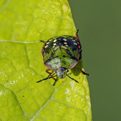
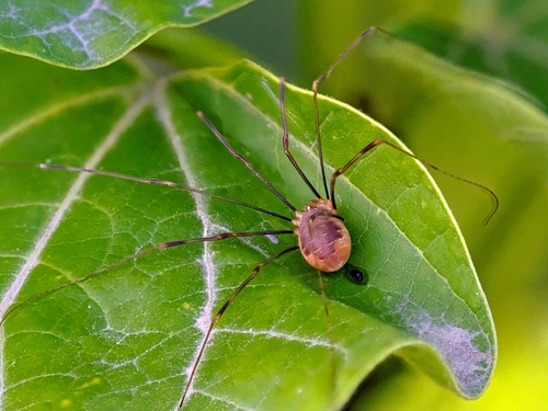
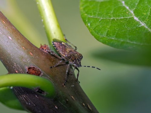
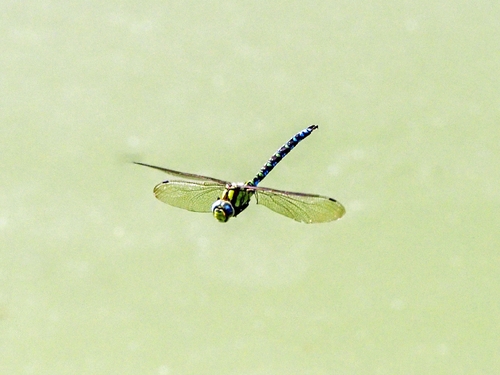
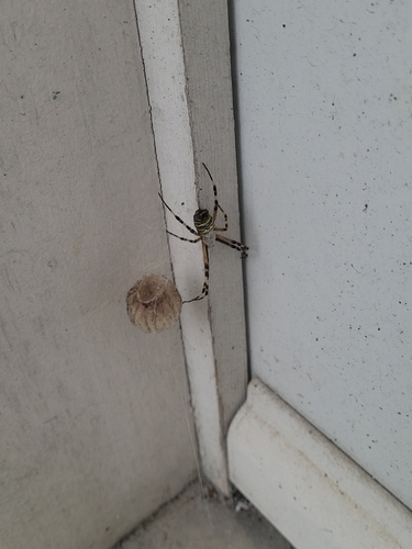
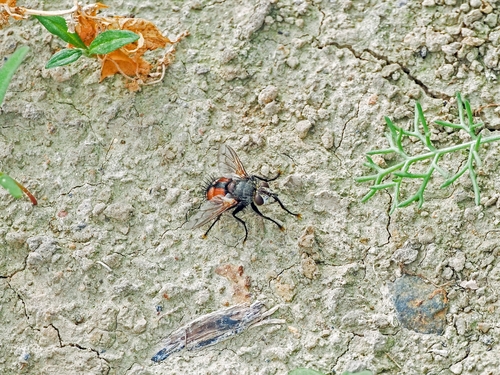
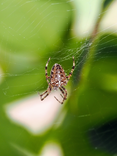
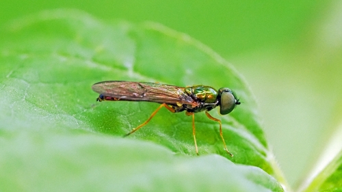
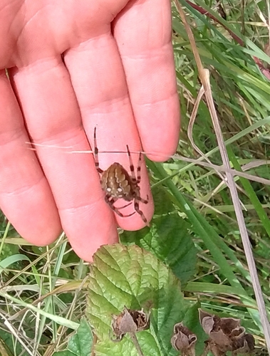
Research-grade observations from iNaturalist (within ~15 mi).
Events
Gallery
Official Identifiers
INSEE — French National Institute of Statistics
- INSEE code
- 62516
- Department
- 62
- Region
- 32
- Population (Wikidata)
- 10,193
geo.api.gouv.fr
Sources
- • Wikipedia
- • Wikidata
- • USGS Earthquake Catalog (global feed)
- • GBIF (Global Biodiversity Information Facility)
- • iNaturalist
- • Open-Meteo / sunrise-sunset.org
- • Wikipedia Pageviews API
- • Wikidata SPARQL (CC0) — population, area, elevation, inception, head of government, Commons image
- • INSEE — French national statistics, via geo.api.gouv.fr (official commune code, population, surface, department, region)
- • INSEE — French National Institute of Statistics — geo.api.gouv.fr