Browse / France / Île-de-France / Limay
Limay
Île-de-Francetown

Limay
Total population
17,626
Demographic figures from INSEE. Overview below cites Wikipedia and may reference a different year.
City facts
Facts from Wikidata (CC0).
Overview
Limay, officially the Municipality of Limay, is a municipality in the province of Bataan, Philippines. According to the 2024 census, it has a population of 81,960 people.
History & geography
History
Dominican and Franciscan friars settled Limay by the late 1600s, using its rich limestone deposits to build churches in Orion and Balanga. At the time, Limay was a Barangay of Orion. In the Philippine revolution of 1898, Limay inhabitants fought for their independence. American Governor-General Francis Burton Harrison's Executive Order of January 1, 1917, created Limay as the latest municipality. In 1913, the Cadwallader-Gibson Lumber Company employed Limayans and Visayan immigrants. During World War II, Limay hosted the first medical hospital of American and Filipino forces, run by the "Angels of Bataan". In Barrio Lamao, Major General Edward P. King capitulated to the Japanese forces, after the last stand of the American and Filipino forces faltered along the banks of the Alangan River. In 2024, the 2024 Manila Bay oil spill occurred 3.6 nautical miles (6.7 km) off the east coast of Lamao Point, Barangay Lamao. Governor Joet Garcia declared a no-fishing zone on Limay.
Geography
According to the Philippine Statistics Authority, the municipality has a land area of constituting of the total area of Bataan. Limay is accessible via the Bataan Provincial Expressway (N301), off Exit 45. It is from Balanga and from Manila. Limay is politically subdivided into 12 barangays. Each barangay consists of puroks and some have sitios.
Excerpted from the corresponding Wikipedia article (CC BY-SA).
Geography
Coordinates & boundaries from the US Census TIGER/Line shapefiles.
Climate
Air quality
Walkability
Amenities nearby
Wildlife & biodiversity
Earthquake history
Photos
Sights & places nearby
Notable people from here


People born within ~10 km, from Wikidata (CC0). Click any name for their Wikipedia article.
Nearby places in Île-de-France
- Guerville1.9 mi away
- Rue1.9 mi away
- Guitrancourt2.2 mi away · pop. 628
- Fontenay-Saint-Père2.4 mi away · pop. 948
- Guerville3.4 mi away · pop. 2,124
- Mézières-sur-Seine3.5 mi away · pop. 3,826
- Saint-Martin-la-Garenne4 mi away · pop. 929
- Boinville-en-Mantois4.4 mi away · pop. 287
- Sailly4.4 mi away · pop. 340
- Brueil-en-Vexin4.6 mi away · pop. 683
- Saint-Cyr-en-Arthies4.8 mi away · pop. 237
- Rosny-sur-Seine4.9 mi away · pop. 6,929
Geography & sun
Nearby airports
Public attention
Books about this place
Recent natural events nearby
Ground air-quality sensors
Recently spotted species

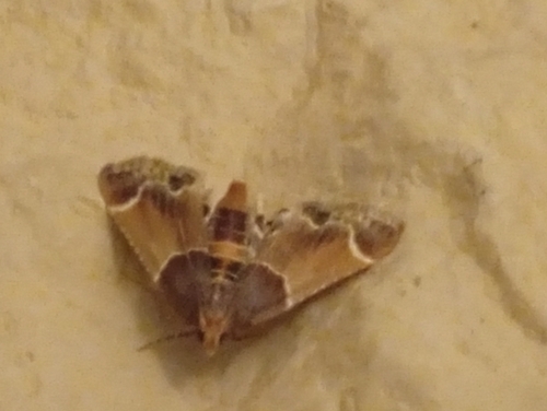
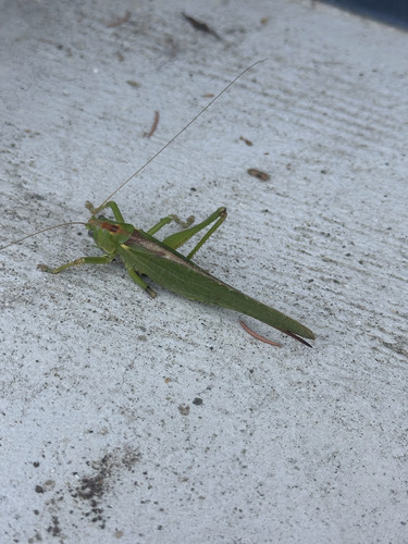
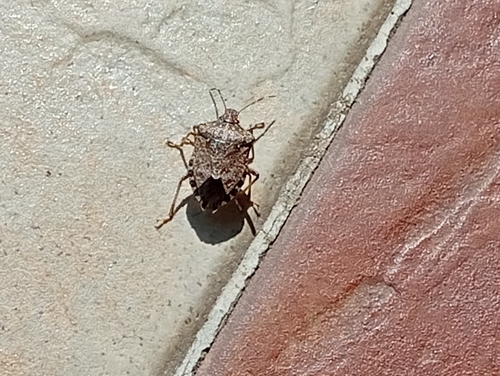

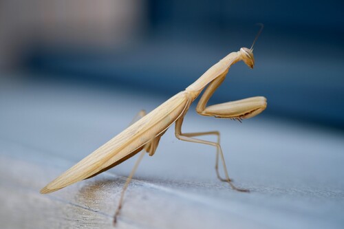
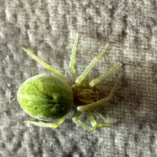
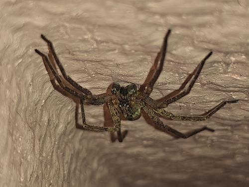
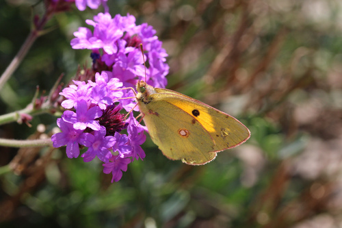
Research-grade observations from iNaturalist (within ~15 mi).
Events
Gallery
Official Identifiers
INSEE — French National Institute of Statistics
- INSEE code
- 78335
- Department
- 78
- Region
- 11
- Population (Wikidata)
- 17,885
geo.api.gouv.fr
Sources
- • Wikipedia
- • Wikidata
- • iNaturalist
- • Wikidata SPARQL (CC0) — population, area, elevation, inception, head of government, Commons image
- • INSEE — French national statistics, via geo.api.gouv.fr (official commune code, population, surface, department, region)
- • INSEE — French National Institute of Statistics — geo.api.gouv.fr