Browse / France / Nouvelle-Aquitaine / Limoges
Limoges
Nouvelle-Aquitainecity

Limoges
Total population
129,760
Demographic figures from INSEE. Overview below cites Wikipedia and may reference a different year.
City facts
Facts from Wikidata (CC0).
Overview
Limoges is a city and commune, and the prefecture of the Haute-Vienne department in west-central France. It was the administrative capital of the former Limousin region. Situated on the first western foothills of the Massif Central, Limoges is crossed by the river Vienne, of which it was originally the first ford crossing point.
Read more on WikipediaHistory & geography
History
Scarce remains of pre-urban settlements have been found in the area of Limoges. The capital of the Gaulish people of the Lemovices, who lived in the area, was probably either near Villejoubert, some kilometres south-east of Saint-Léonard-de-Noblat, or St Gence, just west of Limoges. The city proper was founded as Augustoritum by the Romans, around 10 BC: "rito-" is Gaulish for "ford". The foundation was part of the reorganization of the province by the emperor Augustus, hence the new name. The Roman city included an amphitheatre measuring 136 x 115 metres, a theatre, a forum, baths and several sanctuaries. According to tradition, a temple consecrated to Venus, Diana, Minerva and Jupiter was located near the modern cathedral. The city was on the typical Roman square plan, with two main streets crossing in the centre. It had a Senate and a currency of its own, a sign of its importance in the imperial age. Later, like many towns and cities in Gaul, it was renamed after the tribe (here the Lemovices) whose chief town it was; "Lemovices" subsequently evolved into "Limoges", and "Lemovicinus" for the area around changed into "Limousin". Limoges was evangelized by Saint Martial, who came to the city around 250 with two companions, Alpinianus and Austriclinienus. However, in the late 3rd century it was increasingly abandoned, due to unsafe conditions created by the invasions of various Germanic tribes. The population was concentrated instead in a more easily fortifiable site, the modern Puy Saint-Étienne, which is the centre of the modern Limoges. Starting with the construction of the Abbey of St. Martial (9th century), another settlement grew around the tomb of the saint, while a third area, next to the residence of the viscount (the future Castle of Saint…
Excerpted from the corresponding Wikipedia article (CC BY-SA).
Geography
Coordinates & boundaries from the US Census TIGER/Line shapefiles.
Climate
Air quality
Walkability
Amenities nearby
Wildlife & biodiversity
Most-observed species
- Eurasian BlackbirdTurdus merula Linnaeus, 1758 · Aves1,218
- European RobinErithacus rubecula (Linnaeus, 1758) · Aves1,115
- Great TitParus major Linnaeus, 1758 · Aves969
- Eurasian Blue TitCyanistes caeruleus (Linnaeus, 1758) · Aves919
- Common Wood-PigeonColumba palumbus Linnaeus, 1758 · Aves793
- Common ChaffinchFringilla coelebs Linnaeus, 1758 · Aves783
- House SparrowPasser domesticus (Linnaeus, 1758) · Aves611
- Eurasian MagpiePica pica (Linnaeus, 1758) · Aves581
Citizen-science & research observations from the Global Biodiversity Information Facility (GBIF).
Earthquake history
Most recent
- M 4 — 2010-07-255 km ENE of Saint-Maurice-la-Clouère, France
- M 2.6 — 2007-12-229 km SW of Chaillac, France
- M 2.5 — 2007-06-243 km WNW of Bussière-Dunoise, France
- M 2.7 — 2007-06-215 km E of Bélâbre, France
- M 2.5 — 2007-05-263 km NNW of Saint-Agnant-de-Versillat, France
- M 2.8 — 2006-10-194 km N of Bussière-Poitevine, France
Events from the USGS Earthquake Catalog (global) (FDSN Event Web Service).
Photos
Sights & places nearby
Notable people from here


People born within ~10 km, from Wikidata (CC0). Click any name for their Wikipedia article.
Nearby places in Nouvelle-Aquitaine
- Feytiat3.7 mi away · pop. 6,080
- Boisseuil5.5 mi away · pop. 2,994
- Le Vigen6 mi away · pop. 2,280
- Aureil6.5 mi away · pop. 1,019
- Nieul7.6 mi away · pop. 1,612
- Jourgnac8.4 mi away · pop. 1,109
- La Geneytouse10.4 mi away · pop. 984
- Saint-Jean-Ligoure10.4 mi away · pop. 491
- Moissannes14.6 mi away · pop. 328
- La Jonchère-Saint-Maurice14.9 mi away · pop. 814
- Linards15.9 mi away · pop. 1,011
- Cheissoux18.5 mi away · pop. 221
Geography & sun
Elevation, sunrise/sunset and daylight from Open-Meteo. Solar climatology from NASA POWER.
Nearby airports
Public attention
Pageview totals from the Wikimedia Pageviews API.
Books about Limoges
Search results from Open Library.
Recent natural events nearby
Ground air-quality sensors
Recently spotted species
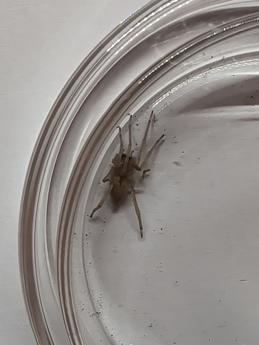
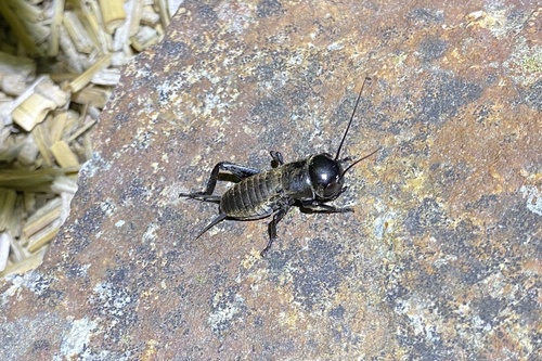
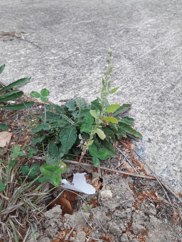
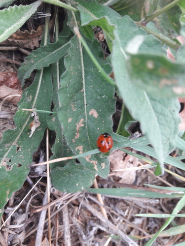
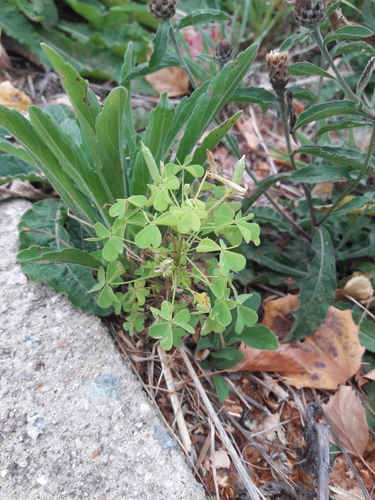
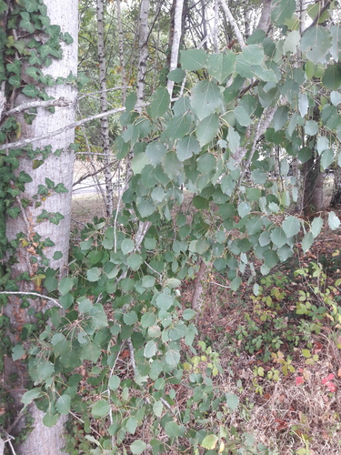
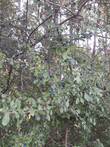
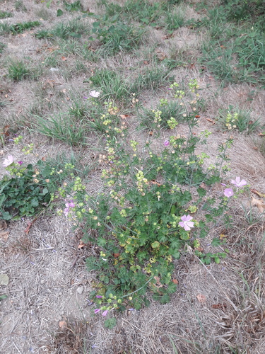
Research-grade observations from iNaturalist (within ~15 mi).
Events
Gallery
Official Identifiers
INSEE — French National Institute of Statistics
- INSEE code
- 87085
- Department
- 87
- Region
- 75
- Population (Wikidata)
- 129,937
geo.api.gouv.fr
Sources
- • Wikipedia
- • Wikidata
- • USGS Earthquake Catalog (global feed)
- • GBIF (Global Biodiversity Information Facility)
- • iNaturalist
- • Open-Meteo / sunrise-sunset.org
- • Wikipedia Pageviews API
- • Open Library
- • Wikidata SPARQL (CC0) — population, area, elevation, inception, head of government, Commons image
- • INSEE — French national statistics, via geo.api.gouv.fr (official commune code, population, surface, department, region)
- • INSEE — French National Institute of Statistics — geo.api.gouv.fr