Browse / France / Grand Est / Longwy
Longwy
Grand Esttown

Longwy
Total population
15,191
Demographic figures from INSEE. Overview below cites Wikipedia and may reference a different year.
City facts
Sister cities
Facts from Wikidata (CC0).
Overview
Longwy is a commune in the French department of Meurthe-et-Moselle, Lorraine, administrative region of Grand Est, northeastern France.
Read more on WikipediaHistory & geography
History
Longwy initially belonged to Lotharingia. After the division of that kingdom, the town became part of Upper Lorraine and ultimately the Duchy of Bar. Longwy was ceded to Wenceslaus I of Luxembourg in 1368, but was returned to Bar in 1378. The Duchy of Bar was then annexed into the Duchy of Lorraine in 1480. From 1648 to 1660 Longwy was part of the Kingdom of France, returning to the Duchy of Lorraine afterwards. It was made part of France again in 1670, a situation which was finalized in the Treaties of Nijmegen in 1678. Vauban fortified the town during the reign of Louis XIV, having demolished the medieval Château de Longwy, of which one tower remains. After the French defeat in the Franco-Prussian War of 1870–71, almost all of the Moselle department, along with Alsace and portions of the Meurthe and Vosges departments, was ceded to the German Empire by the Treaty of Frankfurt on the ground that the population in those areas spoke German dialects. Only one fifth of Moselle, including Longwy, was spared annexation. Otto von Bismarck later bitterly regretted his decision when it was discovered that the region of Briey and Longwy was rich with iron ore, exploited by the Aciéries de Longwy among other members of the cartel Comptoir Métallurgique de Longwy. After the Battle of the Ardennes in August 1914, Longwy was occupied by the Imperial German army until the 1918 Armistice. At the start of the war the fort at Longwy was commanded by Lieutenant Colonel Natalis Constant Darche. With a force of 3,500 men he was able to hold up the German 5th Army for three weeks.
Excerpted from the corresponding Wikipedia article (CC BY-SA).
Geography
Coordinates & boundaries from the US Census TIGER/Line shapefiles.
Climate
Air quality
Walkability
Amenities nearby
Wildlife & biodiversity
Earthquake history
Photos
Sights & places nearby
Notable people from here


People born within ~10 km, from Wikidata (CC0). Click any name for their Wikipedia article.
Nearby places in Grand Est
- Mexy1.2 mi away · pop. 2,288
- Mont-Saint-Martin2.2 mi away · pop. 9,202
- Cosnes-et-Romain2.5 mi away · pop. 2,775
- Gorcy4.2 mi away · pop. 2,965
- Hussigny-Godbrange4.7 mi away · pop. 3,880
- Longuyon8.9 mi away · pop. 5,190
- Audun-le-Roman11.6 mi away · pop. 2,471
- Tressange12.2 mi away · pop. 2,383
- Fontoy14.9 mi away · pop. 3,142
- Affléville16.9 mi away · pop. 179
- Anoux17.1 mi away · pop. 272
- Amel-sur-l'Étang18 mi away · pop. 147
Geography & sun
Elevation, sunrise/sunset and daylight from Open-Meteo. Solar climatology from NASA POWER.
Nearby airports
Public attention
Pageview totals from the Wikimedia Pageviews API.
Books about this place
Recent natural events nearby
Ground air-quality sensors
Recently spotted species
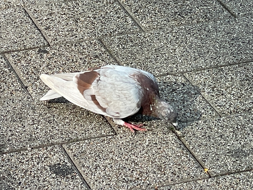
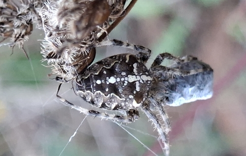
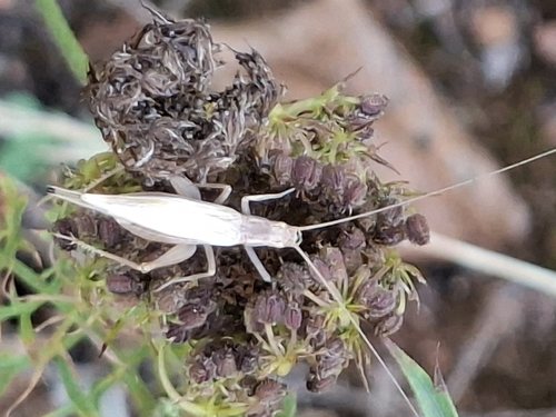
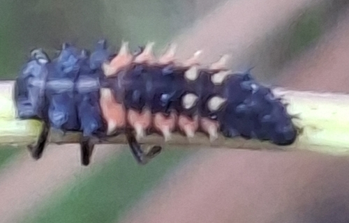
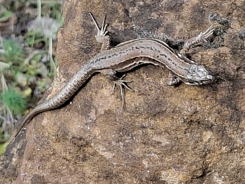
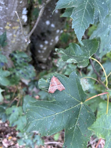
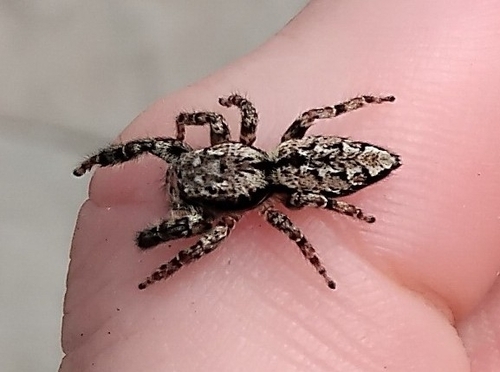
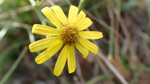
Research-grade observations from iNaturalist (within ~15 mi).
Events
Gallery
Official Identifiers
INSEE — French National Institute of Statistics
- INSEE code
- 54323
- Department
- 54
- Region
- 44
- Population (Wikidata)
- 15,679
geo.api.gouv.fr
Sources
- • Wikipedia
- • Wikidata
- • iNaturalist
- • Open-Meteo / sunrise-sunset.org
- • Wikipedia Pageviews API
- • Wikidata SPARQL (CC0) — population, area, elevation, inception, head of government, Commons image
- • INSEE — French national statistics, via geo.api.gouv.fr (official commune code, population, surface, department, region)
- • INSEE — French National Institute of Statistics — geo.api.gouv.fr